Rocca Pietore is a comune in the Province of Belluno, in the Veneto region of northern Italy, about 160 km north of Venice and 40 km north-west of Belluno. The main village stands at around 1,143 m, and the comune takes in 73.29 km² of valley floor, hamlets and mountainside under the Marmolada, with fewer than 1,200 residents in all. Its frazione of Sottoguda is one of I Borghi più belli d'Italia. People come for the mountains: walking and the passes in summer, snow in winter.
Rocca Pietore

- Currency
- Euro (EUR)
- Language
- Italian, Ladin
- Power plug
- Type C/F/L, 230 V
- Visa
- Schengen
- Time zone
- UTC+1 / UTC+2 (CET/CEST)
- Tap water
- Safe; most Italians prefer bottled
- Tipping
- Not expected; leave coins in bars, cafés
- Emergency
- 112
Things to do
All tours in Rocca Pietore on GetYourGuide
Paid links: booking through them supports YowJourney.
When to go
High season
Dec – Mar
Snow lies right down on the valley floor and the road up carries ski traffic; accommodation goes early.
Low season
Apr – Jun
Meltwater runs hard through the gorges while the tops still hold snow, and the valley is at its emptiest between the two seasons.
High season
Jul – Aug
Warm days and the longest light of the year, and the busiest: walkers in the valley, pass-hopping traffic on the roads.
Shoulder
Sep – Nov
September brings clear air and thinner crowds once the Italian holidays end; by November the valley has emptied and the weather swings between rain and first snow.
How long to stay
Two or three nights fits the valley itself — the hamlets, Sottoguda, and the high ground above them, with a day in hand for weather, which turns fast at this height. Anyone using Rocca Pietore as a base for the wider Dolomites, the passes and the neighbouring valleys, wants closer to a week.
Getting around
A car does the work here. Rocca Pietore is a scattered comune — 73.29 km² of valley floor, hamlets and mountainside, with the main village at about 1,143 m — and its parts are strung along the valley road rather than gathered in one place. There is no railway. Belluno, some 40 km to the south-east, is the nearest town on the rail network, and the closest large airport is Venice, roughly 160 km south. From there on it is all mountain road: hairpins, and a pass at either end of the valley. In winter that means driving on snow, so check the road before you set off.
What to see
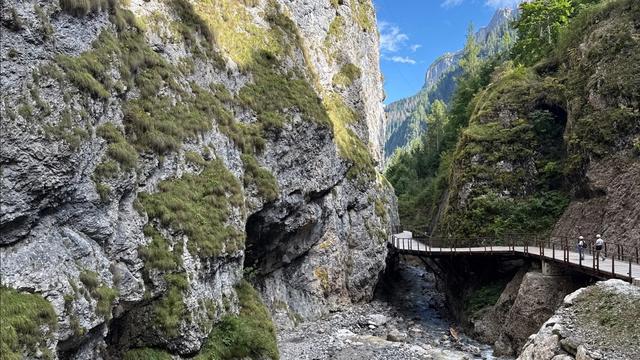
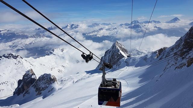
Destinations in Rocca Pietore
Frequently asked questions
Where is Rocca Pietore?
In the Province of Belluno, in the Veneto region of northern Italy — about 160 km north of Venice and 40 km north-west of Belluno.What is Sottoguda?
A frazione of Rocca Pietore and one of I Borghi più belli d'Italia, the association of Italy's most beautiful villages.How high up is Rocca Pietore?
The main village sits at 1,143 m, and the comune reaches well above that across its 73.29 km².How big is the place?
1,149 residents spread across 73.29 km² of valley and hamlets.