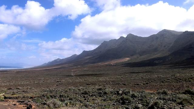
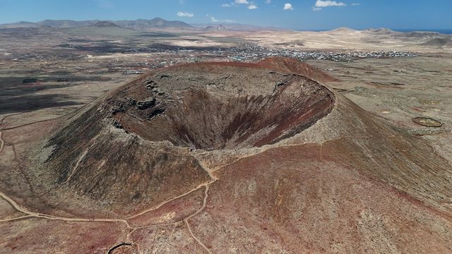
Montaña Cardón is a natural monument in Pájara, in the south of Fuerteventura. The massif rises to 695 metres and stands out sharply in the landscape for its steep, reddish slopes. Its rock belongs to the Basal Complex, the oldest geological structure on the island. The mountain takes its name from the cardón, the Canary Island spurge (Euphorbia canariensis). For the Majos, the island's ancient inhabitants, it was a sacred place, and its surroundings hold dwellings, burial caves and the shrine of the Virgen del Tanquito.
Montana Cardon
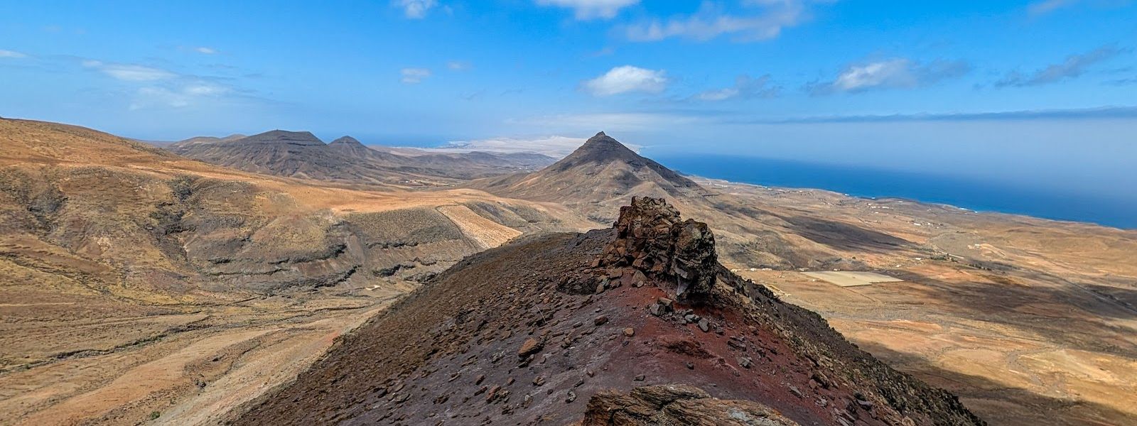
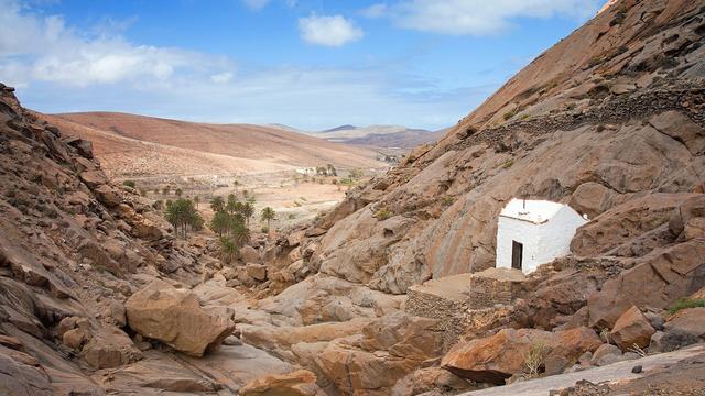
Rugged massif of reddish Basal Complex rock, with a shrine set in a rock niche on its slopes
- Entrance
- Free; there is no ticket.
- Accessibility
- Not accessible by wheelchair: the approach is a rocky hiking trail, loose and unmarked above the chapel.
- Parking
- Roadside car park at the start of the trail, with few spaces. Free gravel car park about 2 km away in a straight line.
- Difficulty
- Easy to moderate out-and-back hike from the roadside car park to the rock-cut chapel; beyond it an unmarked path over loose rock. Windy and without shade.
- Transport
- No bus stop nearby; come by car.
- Advance booking
- Not needed.
- Hours
- Open ground with no gate and no opening hours.
- Address
- FV-605, 35628 Pájara, Las Palmas, Spain
What makes it special
The path ends at a chapel set into the rock: the shrine of the Virgen del Tanquito, a niche in the mountainside with viewpoints beside it. Below, the south of Fuerteventura opens out across the Jandía isthmus, the central plains and the ridges of the Cuchillos de Vigán.
The mountain itself is the draw. It is rugged and steep, its reddish slopes sculpted by erosion, and it looks like few other hills on the island. The rock is part of the Basal Complex, the oldest geology on Fuerteventura. Cardón spurge grows here, and rare native plants hold on in the cliffs that nobody can reach.
For the Majos, the island's first inhabitants, this was a sacred mountain. Its surroundings hold dwellings and burial caves, and local legend puts the tomb of Mahan, a giant of colossal size, on its slopes.
Good to know
- The car park at the start of the trail sits right by the road and has few spaces.
- No bus stop nearby, and no toilets or information point at the site: come by car and bring your own water.
- The walk to the chapel is easy. Beyond it the trail is unmarked and loose rock slides underfoot.
- The slopes are windy and bare of shade, so bring a layer and sun protection.
- The route is out and back on the same path.
Getting there
Montaña Cardón stands by the FV-605 in the municipality of Pájara, in the south of the island. No bus stops nearby, so the approach is by car. The trail starts from a car park right beside the road, where spaces are few; a free gravel car park also lies about 2 km away in a straight line.
From the road the path climbs to the shrine of the Virgen del Tanquito and the viewpoints beside it, then returns the same way. Past the chapel the way on towards the top is unmarked and runs over loose rock.
Best time to visit
Best: a clear, calm day, early or late, when the sun is low and the views to the south reach furthest.
Avoid: the middle of a hot day, and days of strong wind.
The slopes are bare and give no shade, and the path is windy even in ordinary weather.
Access & restrictions
Montaña Cardón is a protected natural monument. Keep to the authorised trails: rare and threatened native plants grow on the slopes, and the surroundings hold archaeological sites, dwellings and burial caves. Leave stones and remains where they lie. The shrine of the Virgen del Tanquito is a site of pilgrimage and popular devotion, so behave there as you would in a chapel.
Sun & daylight
Nearby Places
Similar Places
Montana Cardon on the map
Above the chapel the trail is unmarked and loose rock slides underfoot. Turn back at the chapel unless you have hiking boots and are sure of your footing.
Get directions
Your whole travel map in one place
Get inspired by new places around the world and find the ones worth the journey
Frequently asked questions
How hard is the walk on Montaña Cardón?
The out-and-back hike from the roadside car park to the shrine of the Virgen del Tanquito is easy to moderate. Beyond the chapel the trail is unmarked and the rock slides underfoot.Can you climb to the summit?
The mountain rises to 695 metres. Past the chapel the way on is unmarked and runs over loose rock, so go further only in hiking boots and with confident footing.Is the walk suitable for children?
The walk to the chapel is easy and works for children. Keep them close beyond it, where the trail is unmarked and the ground is loose.Is there parking?
Yes, a car park right by the road at the start of the trail, but it has few spaces. A free gravel car park lies about 2 km away in a straight line.Can you get there by bus?
No bus stops near Montaña Cardón; the approach is by car.