Caldera de Gairía is a volcano in the municipality of Antigua, in the centre of Fuerteventura, near the villages of Tiscamanita and Agua de Bueyes. A hiking route of about 1.5 km climbs roughly 200 m to the rim, and a path continues down inside the crater, which walkers are allowed to enter. The slopes are loose sand, gravel and pumice. The routes up are closed from February to July to protect nesting birds, and a longer walk circles the base of the cone.
Caldera de Gairia
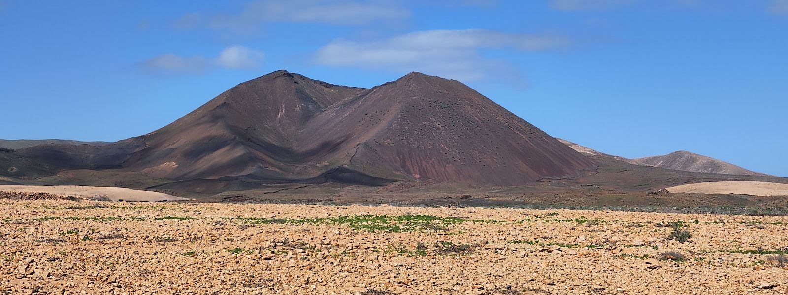
Steep volcanic cone in central Fuerteventura, with a loose gravel path over the rim and down into its crater.
- Entrance
- Free; there is no ticket.
- Accessibility
- Not accessible for wheelchairs or anyone with limited mobility: the climb is steep, narrow and loose underfoot.
- Parking
- No car park at the cone itself; the nearest mapped parking is about 2 km away in a straight line, and another, about 3 km away, is on unsurfaced ground.
- Difficulty
- About 1.5 km with roughly 200 m (650 ft) of ascent. A well-defined path leads to the foot of the cone; the climb is steep, narrow and loose, and the descent is the trickiest part. Boots recommended.
- Transport
- Nearest bus stops: Agua de Bueyes and Tiscamanita, each about 1.8 km away in a straight line.
- Advance booking
- No booking needed.
- Hours
- Open ground with no set hours; the routes up the cone are closed from February to July for nesting birds.
- Address
- 35638, Las Palmas, Spain
What makes it special
The path carries on over the rim and drops onto the crater floor, so you stand inside the volcano as well as on top of it. From the rim the view runs out across the plains of central Fuerteventura, and caves open in the rock around the slopes.
The climb is short, about 1.5 km with some 200 m of ascent, but it is steeper than Calderón Hondo in the north of the island, and the ground stays loose the whole way. Wind blows steadily across the top, which takes the edge off the heat. Egyptian vultures live in the area, and one may pass overhead while you are on the rim.
Good to know
- Footwear: loose sand, gravel and pumice cover the slopes; boots with grip make the descent much safer.
- No facilities: there are no toilets or drinking water at the volcano or nearby. Bring water, more than you think.
- Wind and sun: the cone is breezy and bare of shade. Wear a hat that stays on and cover up against the sun.
- Saharan dust: on days of calima the haze flattens the view from the rim.
Getting there
From parking on the western side, a well-defined path runs around to the south of the cone before the climb begins. From there the ascent is much steeper and loose underfoot, and coming back down takes more care than going up.
The nearest mapped parking lies about 2 km from the volcano in a straight line, with another about 3 km away on unsurfaced ground. Bus stops at Agua de Bueyes and Tiscamanita are each about 1.8 km away in a straight line.
When the slopes are closed, a walk around the base from Tiscamanita comes to about 11 km. It is mostly flat and easy to follow, though the pumice underfoot is loose there too.
Best time to visit
Best: August to January, early in the morning or late in the afternoon.
Avoid: February to July for the climb, and the middle of the day at any time of year.
The routes up close for nesting birds from February to July, and the bare slopes give no shelter from the midday sun.
Access & restrictions
The routes up the slopes of Gairía are closed from February to July to protect nesting birds; in those months only the walk around the base is open to you.
The closure sign does not stand at the roadside. It is some way along the trail, where the western path meets another coming from the south, so check the dates before you set out. Keep to the existing paths on the slopes.
Sun & daylight
Nearby Places
Similar Places
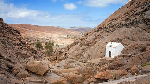
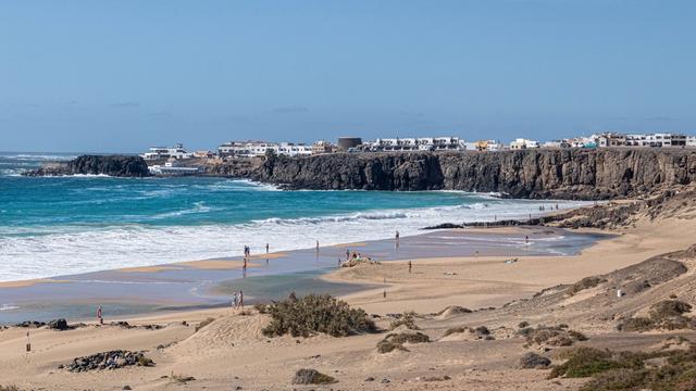
Featured in our guides
Caldera de Gairia on the map
The crater rim is unfenced, and the narrow path down is steep and loose with gravel and pumice, where slips are common. Wear boots with grip and take the descent slowly.
Get directions
Your whole travel map in one place
Get inspired by new places around the world and find the ones worth the journey
Frequently asked questions
Can you walk into the crater of Caldera de Gairía?
Yes. A path drops from the rim onto the crater floor, and entering it is permitted.When is the trail closed?
The routes up the slopes close from February to July to protect nesting birds. In those months a walk around the base is still possible.How long and hard is the climb?
About 1.5 km with roughly 200 m (650 ft) of ascent. The path to the foot of the cone is well defined; the ascent is steep and loose, and the descent is the hardest part.Can children do it?
Children used to walking have managed it, but slips on the loose descent are common. Go slowly on the way down and keep close to them near the rim.How does Gairía compare with Calderón Hondo?
Gairía is steeper, and here you are allowed down into the crater.