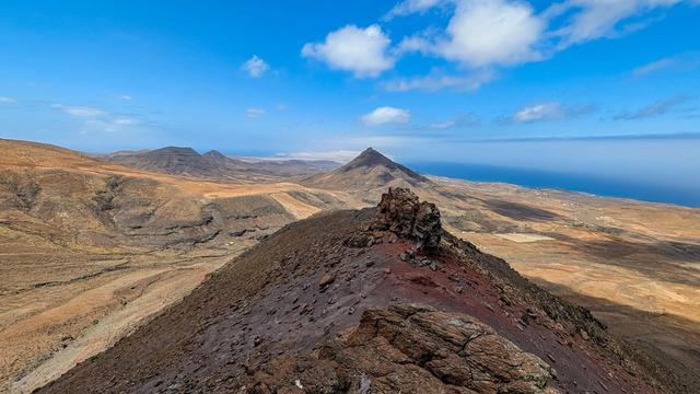
Pico de la Zarza, also called Pico de Jandía, is the highest mountain on Fuerteventura, rising to just over 800 metres on the Jandía peninsula in the municipality of Pájara. The peninsula is a natural park. The peak formed in the middle and late Miocene from olivine basalt lava flows. A signed path, part of the trail network of the Cabildo of Fuerteventura, climbs to the summit.
Pico de la Zarza
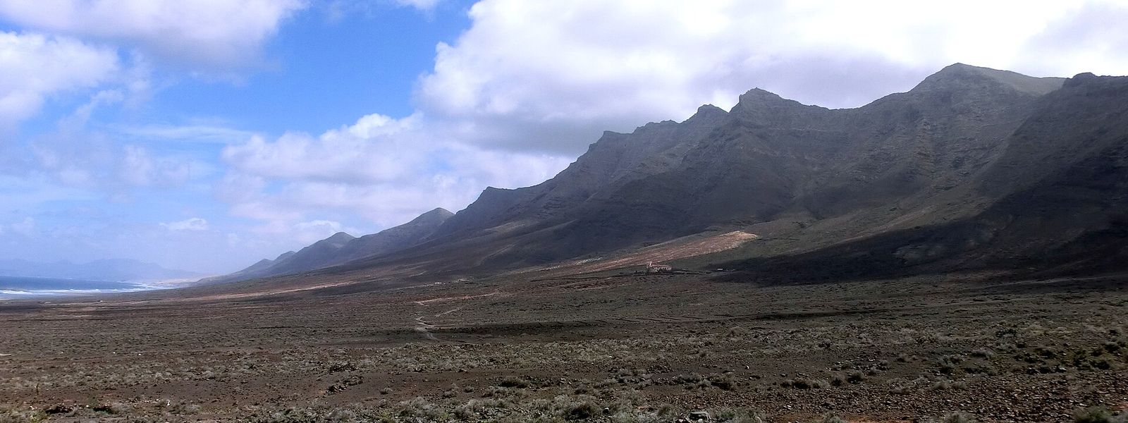
Basalt summit of just over 800 metres on the Jandía peninsula, with a signed trail and views down to Cofete beach.
- Entrance
- Free; there is no ticket.
- Accessibility
- Not accessible by wheelchair or for anyone who cannot walk far: the summit is reached only on foot, by a gravel mountain path with a steep final section.
- Parking
- Street parking in Solana Matorral at the start of the trail, for example on Calle de Quijote.
- Difficulty
- Moderate: a steady climb on gravel to just over 800 metres, steepest in the last kilometre. About two hours up and one down; no shade on the southern slope.
- Advance booking
- Not needed.
- Hours
- Open at any time. Set out early enough to be down before dark.
- Address
- 35626 Jandia, Las Palmas, Spain
What makes it special
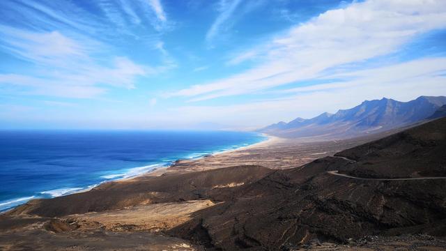
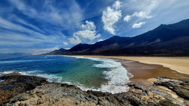
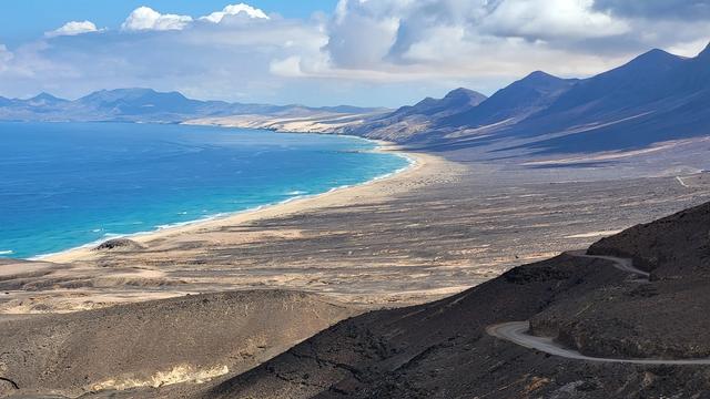
From the top, the Jandía peninsula splits in two: Morro Jable and the south coast on one side, the long sweep of Cofete beach (Playa de Cofete) far below on the other.
The climb runs up the bare southern slope, where low scrub of joraos and aulaga takes the sun and the trade wind never reaches. At the summit the ground changes. The damper north-facing slopes hold the only dry laurel forest on Fuerteventura, reduced to scattered laurel, tree heath, mocán and paloblanco, and the cliffs towards Pico del Mocán shelter island endemics such as the Jandía tajinaste. Even the name belongs to that side: zarza is the bramble, which on Fuerteventura grows only on these summits.
Good to know
- Carry plenty of water, at least 1.5 litres per adult. There is no drinking water and no toilet at the summit.
- Wear proper walking shoes: the path is gravel all the way, and the last kilometre is steep.
- Cloud blown in from the ocean can sit on the summit and take the view with it. Check the sky before you commit to the climb.
- The trail belongs to the Cabildo's signed network, but markings on the ground are not clear everywhere. Have the route on your phone.
Getting there
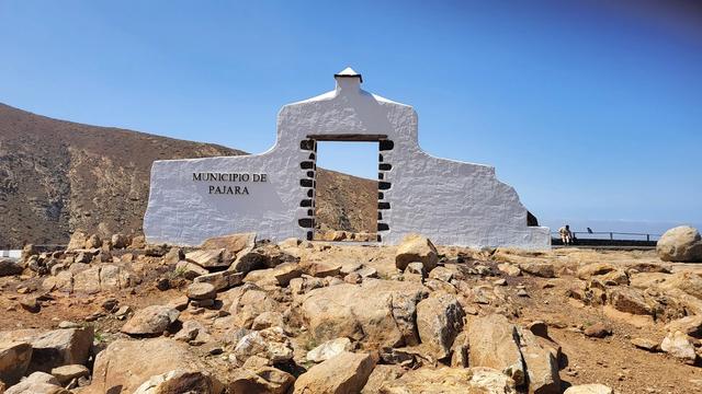
The trail to the summit starts on the south coast, in the Solana Matorral district at the eastern end of Morro Jable. Coming along the FV-2 from Costa Calma, turn right at the roundabout with the monument at the entrance to Solana Matorral and leave the car on the residential streets above it, such as Calle de Quijote. From there the signed path, the PR-FV 54, climbs inland towards the ridge.
The start lies within the town, so it can also be reached on the buses that run along the FV-2 to Morro Jable.
Best time to visit
Best: a clear morning, starting early.
Avoid: days when cloud hangs on the ridge, and the middle of a hot day.
The view is the reason to climb, and fog from the ocean wipes it out and turns the top muddy. The southern slope is bare and open to the sun, with no shade on the way up, so an early start keeps the steep final kilometre out of the midday heat.
Sun & daylight
Nearby Places
Similar Places
Pico de la Zarza on the map
Ocean cloud can close over the summit, cutting visibility and turning the path muddy, and the north side falls away in cliffs. In fog keep to the path, stay back from the edge, or turn round.
Get directions
Your whole travel map in one place
Get inspired by new places around the world and find the ones worth the journey
Frequently asked questions
How long does the climb to Pico de la Zarza take?
Just under two hours to two hours up and about an hour down. The whole walk takes two and a half to three hours.Is the trail hard?
It is a steady climb on gravel with no scrambling, and first-time hikers manage it. The last kilometre is steep, so bring good shoes and plenty of water.What can you see from the summit?
On a clear day, Morro Jable on one side and Cofete beach below the northern cliffs on the other.Is it worth going if the top is in cloud?
Not for the view: ocean cloud can cover the summit completely, and the top gets muddy in fog. Wait for a clear day.Do you need a ticket or a permit?
No. There is no ticket and no booking for the trail.