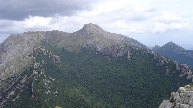
Puig de Galatzó is a mountain of 1,027 metres in the Serra de Tramuntana, the range that runs along the north-west of Mallorca, standing inland from the village of Estellencs. Its pointed limestone summit is a landmark across the west of the island. The ascent is a hike of four and a half to five hours there and back, on a path marked in places only by cairns and with sections of scrambling. Birds of prey are seen over the surrounding land.
Puig de Galatzó
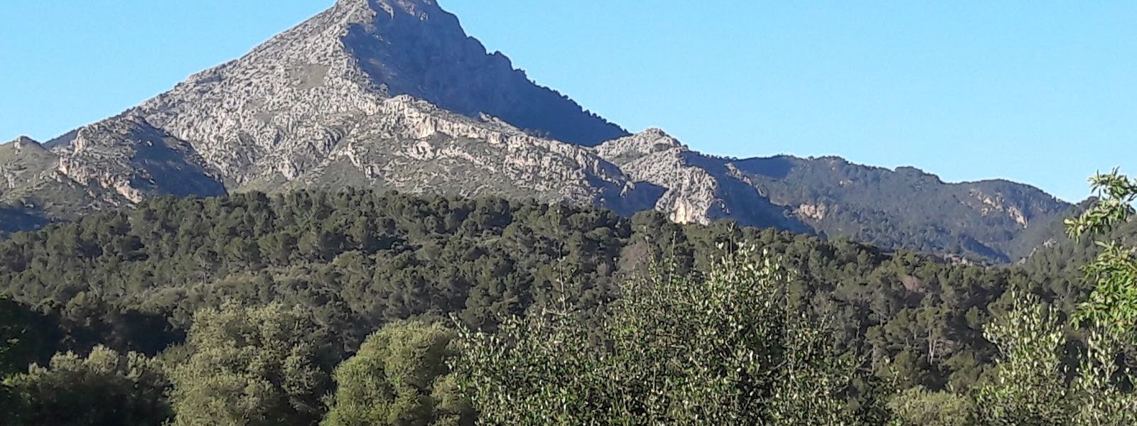
Limestone peak of 1,027 m in the Serra de Tramuntana, climbed on a cairn-marked path with sections of scrambling
- Accessibility
- Not accessible by wheelchair or for people with limited mobility: the summit is reached only on a rough mountain path with scrambling sections.
- Parking
- Font des Pi car park, about 1 km from the summit in a straight line; a second car park about 2 km away.
- Difficulty
- Demanding day hike: four and a half to five hours there and back, with scrambling over rock and a path that is hard to follow in places.
- Transport
- Nearest bus stops: Estellencs 1 and Estellencs 2, about 2.1 km from the summit in a straight line.
- Address
- Puig de Galatzó, 07184, Illes Balears, Spain
What makes it special
On the way up the path thins out, and on some stretches the only guide is a line of stacked stones. Finding the next cairn becomes part of the climb, and so does the scrambling, where the trail turns to bare rock and you use your hands.
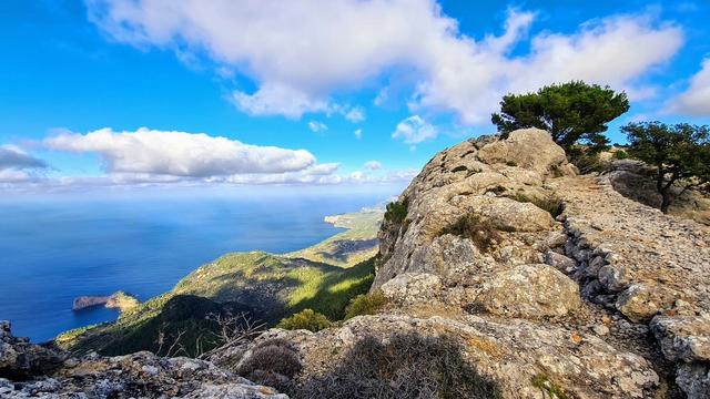
The reward is a summit of 1,027 metres with the west of Mallorca laid out below it: the ridges of the Serra de Tramuntana running along the coast, the open sea on one side and the farmland and valleys inland on the other. The round trip fills most of a day, long enough to stop for lunch at the top, and raptors often circle over the slopes.
Good to know
- Download an offline map or route app before you set off: the path is hard to find in places and cairns are sparse on some stretches.
- Carry 2 litres of water per person and a snack. There is no drinking water and no toilets near the summit.
- The climb and descent take four and a half to five hours, including a stop at the top.
- If you lose the trail, walk back to the last cairn and pick up the line again from there.
- Some sections are scrambles over rock; a fair level of fitness and a steady head matter more than experience.
Getting there
The climb starts from the car. The road up to the parking is in good condition, and the Font des Pi car park lies about 1 km from the summit in a straight line; a second car park sits about 2 km away. From there it is on foot the whole way, with guideposts on the approach, the highest of them about 470 m from the summit in a straight line. Above that, follow the cairns and check your map often, because wrong turns are easy to take.
The nearest bus stops are in Estellencs, about 2.1 km from the summit in a straight line and far below it.
Best time to visit
Best: spring and autumn, starting early in the day. Avoid: summer middays, and days of rain or low cloud.
The route is long and open to the sun, there is no water near the top, wet limestone on the scrambles loses its grip, and cloud on the summit takes the view away.
Sun & daylight
Nearby Places


Similar Places
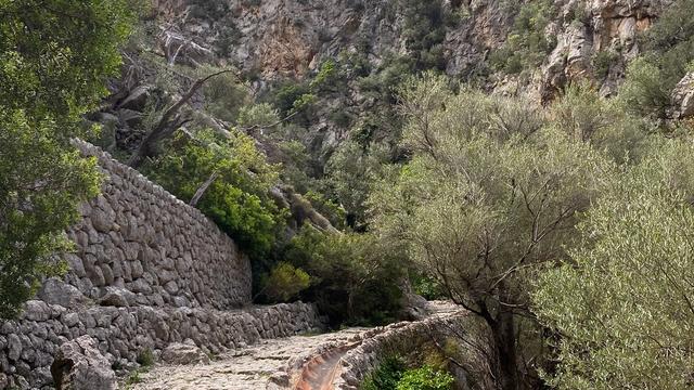
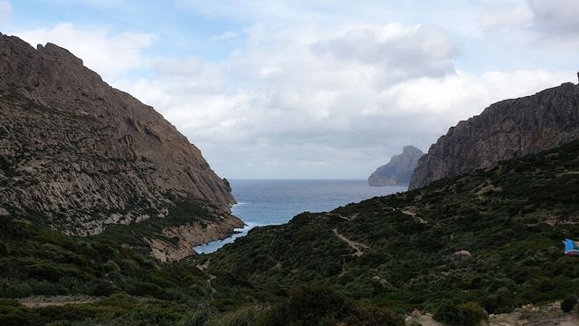
Puig de Galatzó on the map
The path is easy to lose and crosses scrambling ground on limestone that turns slippery when wet. Carry an offline map, go back to the last cairn when the line disappears, and stay off the mountain in rain or low cloud.
Get directions
Your whole travel map in one place
Get inspired by new places around the world and find the ones worth the journey
Frequently asked questions
How long does it take to climb Puig de Galatzó?
The climb and descent take four and a half to five hours, including a stop at the top.Is the trail to Puig de Galatzó well marked?
There are guideposts on the approach, but higher up the path is hard to find in places and cairns are sparse on some stretches. Download an offline map or route app before you go.Do I need climbing experience?
No mountaineering experience is needed, but there are sections of scrambling over rock, and the hike suits people who are fit and steady on their feet.Where do I park for Puig de Galatzó?
The Font des Pi car park lies about 1 km from the summit in a straight line, and a second car park sits about 2 km away.How much water should I bring?
Bring 2 litres per person and a snack. There is no drinking water near the summit.