Vereda do Larano is a coastal footpath on the north side of Madeira, near Machico. About 10.6 km long, it leads from the Machico side through the gap at Boca do Risco and along the sea cliffs to Porto da Cruz. The trail is known for its open views over the Atlantic and for exposed stretches on the cliff face, some of them fenced. Part of the route crosses a residential neighbourhood with local shops.
Vereda do Larano

Coastal footpath cut into the cliffs of Madeira's north coast, running from Boca do Risco to Porto da Cruz
- Accessibility
- Not suitable for wheelchairs or limited mobility: an exposed cliff path with constant climbs and descents, and no accessible parking.
- Parking
- Free car park, paid car park and free street parking; the nearest car park is about 3 km away in a straight line.
- Difficulty
- About 10.6 km one way with constant climbs and descents; Machico to Porto da Cruz takes about three hours. Not very difficult overall, though the exposed cliff sections and falling rocks need care.
- Transport
- Nearest public transport stop about 2.5 km away in a straight line.
- Hours
- Open at all hours.
What makes it special
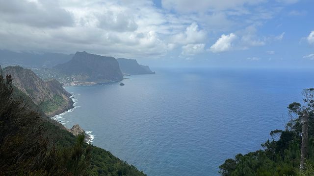
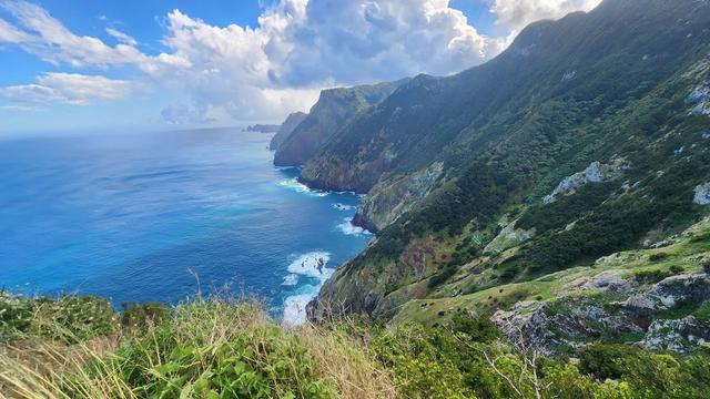
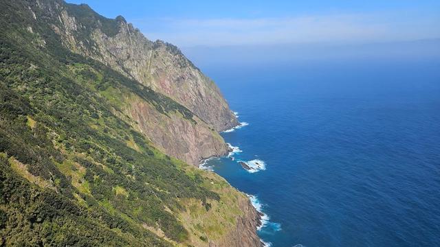
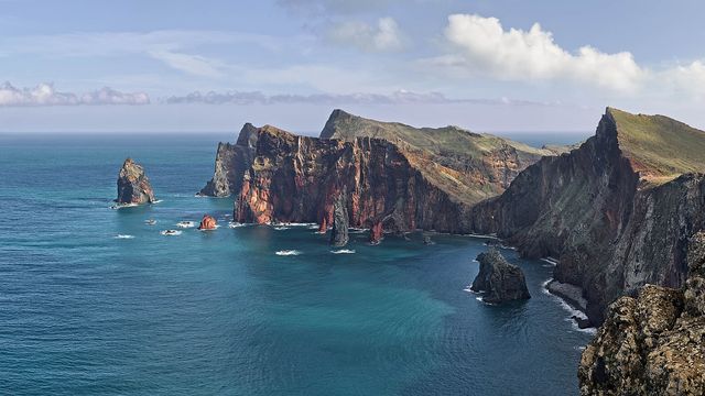
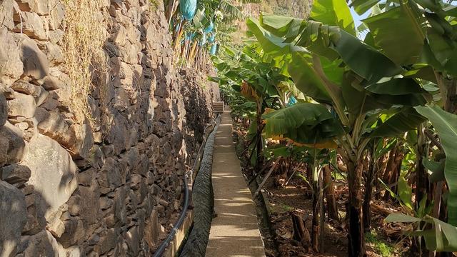
At Boca do Risco the ridge breaks open and the north coast of Madeira appears all at once: cliffs falling into the Atlantic, and the path running on along the slope ahead. From there the trail clings to the cliff face, climbing and dropping the whole way, with the sea below on one side. Parts of it lie in shade through the day, so the walk stays cooler than an exposed coast path usually does. On the way the route also passes through a neighbourhood of houses and local shops, a stretch of everyday island life between the wild sections.
Good to know
- Nothing marks the start. From where you park, follow the road on foot until it brings you to Boca do Risco.
- No toilets or drinking water nearby. Bring enough water and snacks for the constant climbs and descents.
- Wear hiking shoes or other footwear with grippy soles; some sections need close attention.
- The route is linear and ends in Porto da Cruz. With a car left in Machico, plan on a taxi back.
- The climb up Boca do Risco itself is hard going, and vegetation hides any view from the top.
Getting there
The walk starts on the Machico side. You can drive part of the way up and leave the car there, or set out on foot from lower down. Nothing marks where to begin: from the parking point, walk along the road and it brings you to Boca do Risco, where the cliff path carries on along the coast. The nearest car park is about 3 km away in a straight line, and the nearest public transport stop about 2.5 km.
The trail ends in Porto da Cruz, about three hours on foot from Machico. If the car stays in Machico, the way back is a taxi.
Best time to visit
Best: a dry, clear day, starting in the morning.
Avoid: rain, the days just after it, and strong wind.
Wet rock on an exposed cliff path turns slippery, rain loosens stones on the slopes above, and a morning start leaves time for the full walk and the ride back from Porto da Cruz.
Sun & daylight
Nearby Places

Similar Places

Vereda do Larano on the map
The path runs along exposed cliffs with fencing on only some stretches, and rocks fall from the slopes above. Watch your footing at the exposed edges and do not linger below loose rock.
Get directions
Your whole travel map in one place
Get inspired by new places around the world and find the ones worth the journey
Frequently asked questions
How long does the walk take?
The full trail is about 10.6 km. Walking from Machico to Porto da Cruz takes about three hours.Is there a shorter option?
Yes. The stretch between the old cable car and Boca do Risco can be walked there and back, at about an hour and a half each way.How do I get back from Porto da Cruz?
The trail is linear and ends in Porto da Cruz. If your car is in Machico, take a taxi back.Is it worth climbing to the top of Boca do Risco?
Only for the effort itself: the climb is hard, and uncut vegetation blocks the view from the top.