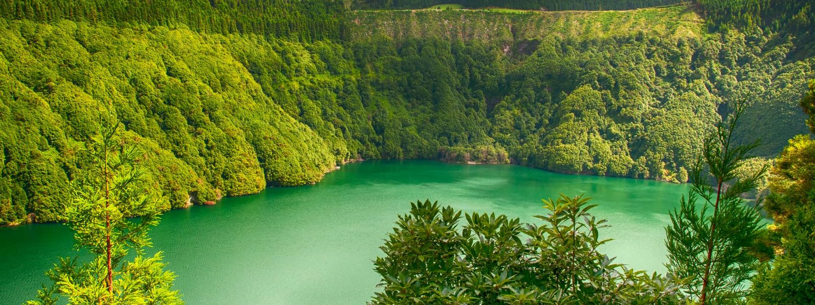
This group of nine volcanic islands form an autonomous region of Portugal in the North Atlantic, spread roughly 1,400 km west of the mainland. The islands vary widely in landscape—from lush calderas and crater lakes to windswept cliffs. Mount Pico, at 2,351 m, is Portugal's highest peak. Known for hiking, coastal walks, whale and bird watching, the Azores offer a slower pace of life distinct from mainland Europe.
Azores
- Currency
- Euro (EUR); cash often needed
- Language
- Portuguese; English widely spoken
- Power plug
- Type C / F, 230 V, 50 Hz
- Visa
- Schengen
- Time zone
- UTC−1 / UTC+0
- Tap water
- Safe to drink
- Tipping
- Not expected; 8–10% for great service
- Emergency
- 112
Things to do
All tours in Azores on GetYourGuide
Paid links: booking through them supports YowJourney.
When to go
High season
Jun – Aug
Warmest weather and peak season; school holidays and summer travel bring crowds. Ocean remains cool for swimming.
Shoulder
Apr – May
Mild weather with fewer crowds; excellent conditions for hiking.
Shoulder
Sep – Oct
Mild and quieter than summer; excellent for hiking.
Low season
Nov – Mar
Wet and windy; hiking is risky during frequent storms. Many services and accommodations reduce hours or close. Temperatures remain mild.
How long to stay
Allow 5–7 days to explore a single island in depth, including hiking and coastal drives. A fuller tour of the central islands and their inter-island ferries takes 10–14 days. To visit all three geographic clusters—eastern, central, and western—plan for at least 3 weeks.
Getting around
Car rental is the easiest and most practical option on each island; companies operate on every island and should be booked in advance. Main towns have pay-and-display parking requiring coins. For island-hopping, ferries (Atlanticoline) are cheaper but slower; planes (SATA Air Açores) are faster. Both ferry and flight prices are capped by authorities. In winter, ferry schedules reduce and stormy weather can disrupt timetables; flights tolerate rougher conditions better. Hitchhiking is viable—Azoreans readily pick up travellers, though bus services are limited. An Interjovem Card (available to ages 13–30) significantly discounts ferry travel and is sold through the official app, youth hostels, and travel agencies.
What to see
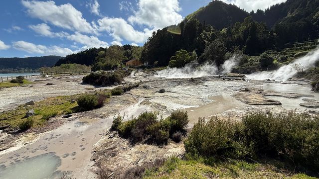
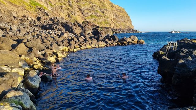
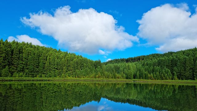
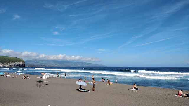


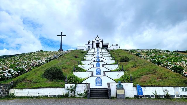
Destinations in the Azores
Islands (1)
Frequently asked questions
What's the weather really like?
Mild year-round but frequently changing, with rain and wind common. Expect chilly ocean water. A rain jacket is essential. Winter hiking is dangerous due to frequent storms and strong winds.Do I need to speak Portuguese?
Portuguese is official, but English is widely spoken, especially in tourism areas and by younger people. Many locals speak English due to historical migration links with North America.What should I eat?
Fresh fish and grass-fed beef dominate local cuisine; Bife à Regional is a signature dish. Seek out São Jorge island cheese and fresh pineapple from São Miguel. Vegetables can be hard to find.Is it safe?
Very safe with minimal crime. There are no reported crimes against tourists.Can I rely on my card?
The currency is the euro; ATMs are widely available. Cards are accepted in cities and tourist areas, but carry cash for smaller towns and villages.