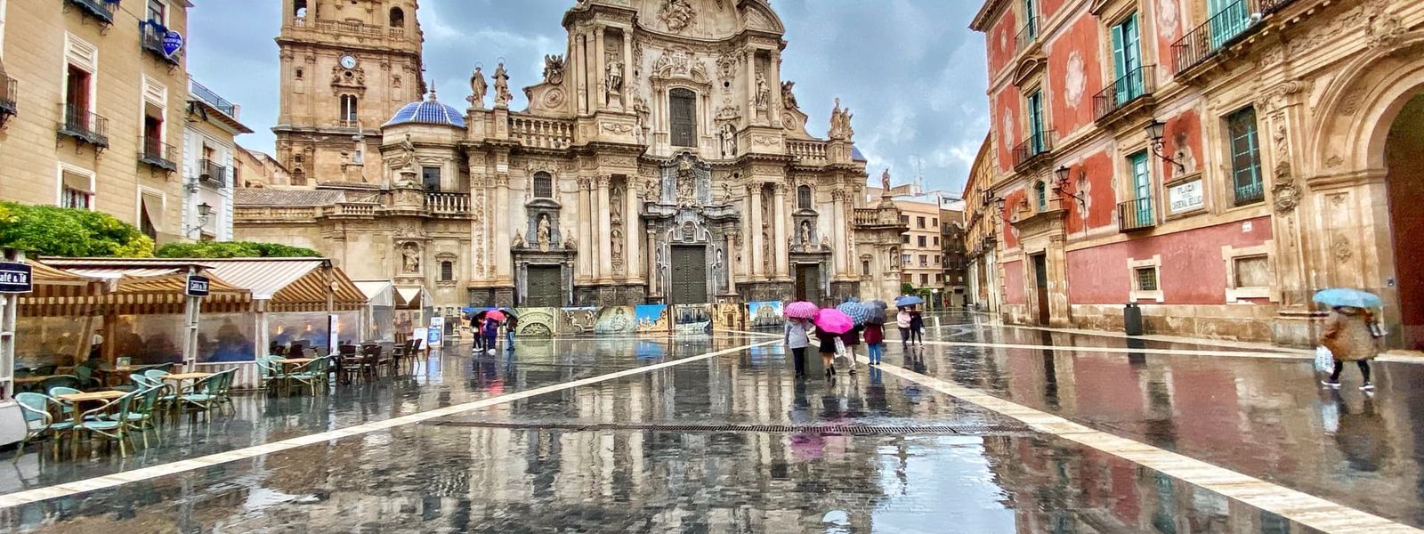
Murcia is an autonomous community in the south-east of the Iberian Peninsula, on the Mediterranean coast. It covers 11,313 km² and has about 1.57 million residents, a third of them in the capital. The coast runs 258 km, alternating beaches, cliffs and rocky shores, and the Mar Menor lagoon adds another 73 km of shoreline. Inland the ground rises to 2,014 m at Los Obispos Peak in the Revolcadores massif. The region has held its present form since 1982.
Murcia
- Currency
- Euro (EUR)
- Language
- Spanish; English in tourist areas
- Power plug
- Type C/F, 230 V
- Visa
- Schengen
- Time zone
- UTC+1 / UTC+2 (CET/CEST)
- Tap water
- Safe; mineral taste in the south
- Tipping
- Not expected; 5–10% for great service
- Emergency
- 112
Things to do
All tours in Murcia on GetYourGuide
Paid links: booking through them supports YowJourney.
When to go
Shoulder
Mar – May
Warm days and cool nights at 38° north. The mountain roads of the Revolcadores massif are open again, and the interior walks well before the summer heat arrives.
High season
Jun – Aug
Hot and dry across the region. The coast and the Mar Menor are the tolerable part; inland it is hotter still, and only the high ground stays cool.
Shoulder
Sep – Oct
The sea holds its summer warmth along all 258 km of coast. Inland the heat drops enough for full days outdoors.
Low season
Nov – Feb
Mild on the coast, cold on the tops. Snow settles on the highest ground around Los Obispos Peak, and roads up there are slow in winter.
How long to stay
Three or four days covers the essentials: the capital, the Mar Menor lagoon and a section of the 258 km coast. The region is compact at 11,313 km², so one base is enough and most drives run under two hours. Give it five or six days if the interior is part of the plan. The ground there climbs to 2,014 m at Los Obispos Peak, and mountain legs take far longer than the map distance suggests. Under three days the coast will take all of it.
Getting around
A hire car is the practical choice. Región de Murcia International Airport lies about 20 km south of the capital, which puts the coast, the Mar Menor and the interior within a couple of hours of landing. The region covers 11,313 km², and the roads that matter link the capital with the shore. Inland is a different proposition. Routes into the Revolcadores massif climb hard towards Los Obispos Peak at 2,014 m, and the surface distance means little. Treat the interior as its own day out, not as a detour on the way to the beach.
What to see
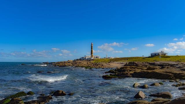
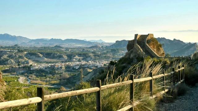
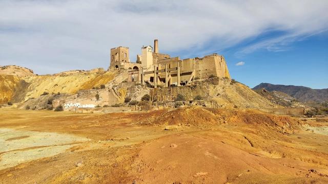
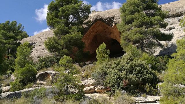
Destinations in Murcia
Nearby regions (2)
Frequently asked questions
Where is Murcia?
In the south-east of the Iberian Peninsula, on the Mediterranean coast. It is an autonomous community of Spain, in its present form since 1982, covering 11,313 km² with a population of about 1.57 million.Which airport serves the region?
Región de Murcia International Airport, roughly 20 km south of the capital. From there the coast, the lagoon and the interior are all within a short drive.What is the Mar Menor?
A coastal lagoon with 73 km of shoreline of its own, separate from the region's 258 km of open Mediterranean coast.How high do the mountains go?
To 2,014 m at Los Obispos Peak in the Revolcadores massif, the highest point in the region.What is the coast like?
It runs 258 km and alternates between beaches, cliffs and rocky shores. The Mar Menor lagoon adds a further 73 km of sheltered shoreline.