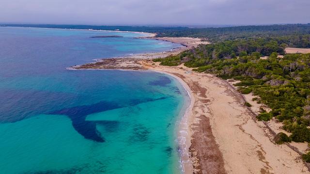
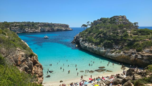
Cala Tuent is a cove on the Tramuntana coast in the northwest of Mallorca, in the municipality of Escorca. It lies between the headlands Morro des Forat and Penyal Foradat, below Puig Major, which at 1,445 metres is the highest mountain in the Tramuntana range. Its beach, Platja de Tuent, is 180 metres long and on average 55 metres wide, a mix of pebbles, stones and small patches of sand. The bay is known for clean water and a setting of pine forest on steep slopes.
Cala Tuent
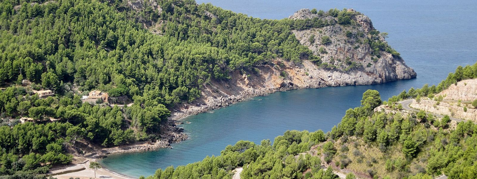
Pebble-and-stone cove below Puig Major, set in a long inlet between two headlands on the Tramuntana coast
- Entrance
- Free; there is no ticket.
- Accessibility
- The beach is pebbles and stones with only small patches of sand, hard going for a wheelchair or anyone unsteady on their feet. No toilets nearby.
- Parking
- A car park named Cala Tuent about 240 m away in a straight line, and a second about 560 m away.
- Difficulty
- The nearest car park is about 240 m away in a straight line; on the beach, pebbles and stones make the footing uneven.
- Transport
- Stop Cala Tuent, about 340 m away; a boat connection also runs from Port de Sóller into the bay.
- Advance booking
- No booking needed for the beach.
- Hours
- Open at any time.
- Address
- 07315 Cala Tuent, Balearic Islands, Spain
What makes it special
Puig Major fills the sky behind the beach. At 1,445 metres it is the highest mountain in the Tramuntana range, and its slopes drop steeply through pine forest almost to the water, with a few houses standing among the trees. The beach itself is bare: the restaurant that once stood in the middle of it has been demolished.
The inlet runs long between two headlands, Morro des Forat and Penyal Foradat, and that shape keeps the waves inside the bay moderate. The water is clean and boats are few. Underfoot it is pebbles and stones with small patches of sand, 180 metres from end to end. The Torrent de sa Coma reaches the sea here, fed by two seasonal streams, one of them rising at the summit of Puig Major.
Good to know
- No lifeguards. The bay is unsupervised, and the currents outside the marked swimming area run colder and can be strong.
- No toilets and no drinking water nearby. Fill up before you come.
- Nothing on the beach. The old restaurant building was demolished, so bring food and drink with you.
- Pebbles and stones underfoot. Water shoes make getting in and out of the sea easier.
Getting there
You arrive by car or by boat. The nearest car park sits about 240 m away in a straight line, with a second about 560 m out, and from either the last stretch to the pebbles is on foot. A boat connection runs from Port de Sóller into the bay itself. A public transport stop named Cala Tuent is about 340 m away, and a map board stands about 300 m away. There are no toilets and no drinking water nearby, so fill your bottles before you set off.
Best time to visit
Best: late spring and early autumn, early or late in the day.
Avoid: July and August at midday, and days of strong north wind.
The island fills up in high summer, the bare pebbles soak up the midday heat, and this northwest-facing coast is open to the northerly wind, which raises the sea.
Sun & daylight
Nearby Places

Similar Places


Cala Tuent on the map
Outside the marked swimming area the currents run colder and some are strong, and there are no lifeguards. Stay inside the marked area.
Get directions
Your whole travel map in one place
Get inspired by new places around the world and find the ones worth the journey
Frequently asked questions
Is Cala Tuent a sandy beach?
Mostly no. The beach is pebbles and stones, with only small patches of sand.Are there lifeguards at Cala Tuent?
No. The bay is unsupervised, and outside the marked swimming area there are colder currents, some of them strong.Is the sea calm enough for swimming?
The long inlet keeps wave movement inside the bay moderate, and the water quality is excellent. Stay within the marked swimming area.Can you reach Cala Tuent by boat?
Yes. A boat connection runs from Port de Sóller into the bay.Are there toilets or anywhere to eat at the beach?
There are no toilets or drinking water nearby, and the restaurant that stood on the beach has been demolished. Bring what you need.