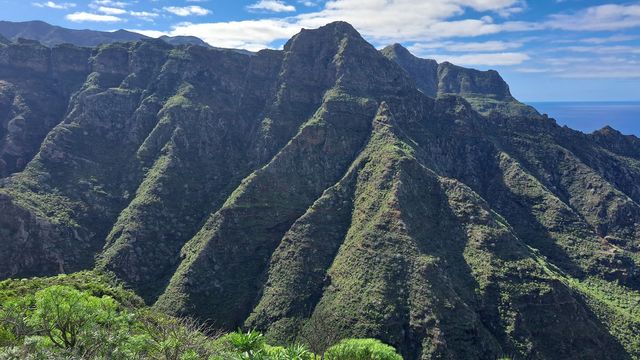
Roque de Taborno is a mountain in the Anaga massif at the north-eastern end of Tenerife, within the municipality of Santa Cruz de Tenerife. Its pointed profile has earned it the nickname "the Matterhorn of Tenerife". A loop trail starts beside the red church in the hamlet of Taborno and circles the peak along the ridge, looking down into a gorge and out over the coastline.
Roque de Taborno
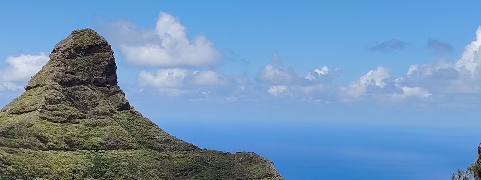
Pointed rock peak in the Anaga massif, circled by a ridge loop with views over a gorge and the coast.
- Entrance
- Free; there is no ticket.
- Accessibility
- Not accessible by wheelchair: a rocky mountain trail with exposed sections and steps, and the parking is not adapted.
- Parking
- Free street parking at the entrance to Taborno village, where the trail begins.
- Difficulty
- A loop of around two hours with stops; rocky and slippery in places, with exposed sections along the ridge and a climb up steps at the end.
- Transport
- Taborno bus stop (no. 2275), about 1.4 km in a straight line from the peak.
- Hours
- Open at all hours; it is an open mountain trail.
What makes it special
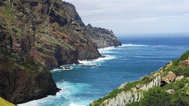
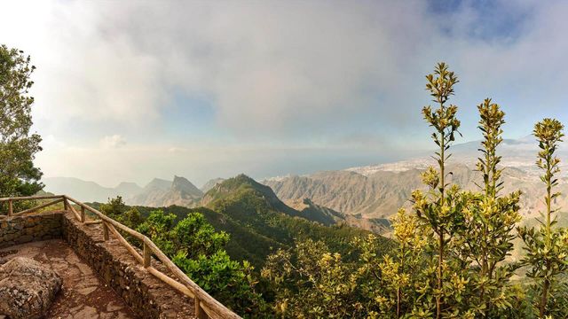
Cloud moves across the ridge while you walk, covering the rock and parts of the path, then clearing off again. When it lifts, the view opens in two directions at once: down into the gorge and out over the coastline.
The loop goes all the way round the peak, so the rock stays in sight for most of the walk and changes shape as you circle it. The edge of the ridge catches the sunset. The trail stays quieter than the island's busier spots, which leaves room to stop on the rocks for lunch and take the walk slowly.
Good to know
- There are no toilets or drinking water near the rock. Bring water and something to eat.
- Parts of the path are rocky and slippery, so wear shoes with good grip.
- Thorny shrubs lean across the path in a few short stretches; slow down and move them aside.
- Cloud and wind change quickly on the ridge. Check the forecast for gusts and cloud cover before you set off.
- The loop finishes with a climb up a flight of steps back to the village.
Getting there
You arrive in Taborno by road and park along the street at the entrance to the village. The trail starts beside the red church. From there the loop heads out onto the ridge, circles the peak and comes back up a flight of steps at the end. The round trip takes around two hours with stops for photos and food.
The Taborno bus stop sits about 1.4 km in a straight line from the peak.
Best time to visit
Best: a clear window with light wind and little low cloud, or late afternoon for the sunset from the ridge edge.
Avoid: days of thick low cloud, strong gusts or rain.
Cloud can close over the rock and the viewpoints partway through the loop, and wind or wet rock makes the exposed sections harder going. If you stay for the sunset, carry a torch for the walk back.
Sun & daylight
Nearby Places
Similar Places

Roque de Taborno on the map
The ridge path passes exposed, unfenced edges, and the rock turns slippery. Keep back from the drop in wind or cloud, and wear shoes with good grip.
Get directions
Your whole travel map in one place
Get inspired by new places around the world and find the ones worth the journey
Frequently asked questions
How long does the Roque de Taborno loop take?
Around two hours for the round trip, including stops for photos and food.Where does the trail start, and where do I park?
The trail starts beside the red church in Taborno. Park along the street at the entrance to the village.Is the trail hard?
The path is rocky and slippery in places and passes exposed sections on the ridge. The steepest effort is the flight of steps at the end. Anyone uneasy with heights or unsure of their balance should take extra care.When is the best time to go?
Pick a clear window with little cloud and light wind, since cloud can cover the rock and the viewpoints quickly. The ridge edge is a good place for the sunset; bring a torch for the way back.