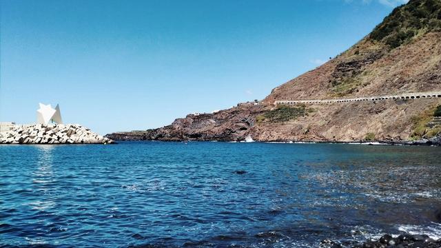
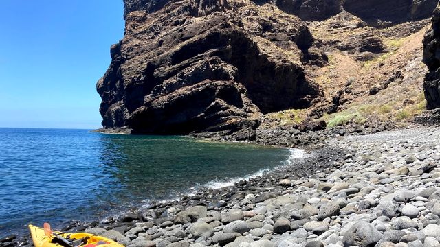
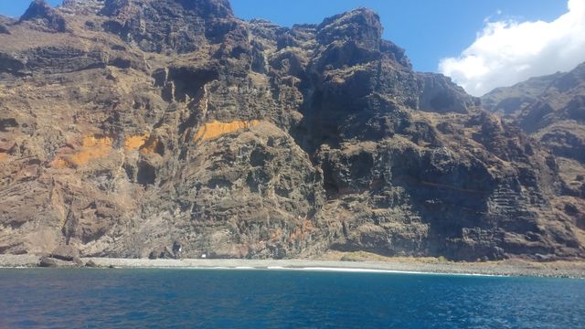
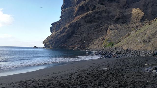
Tamadite Beach is a rocky beach at the mouth of a ravine on the north coast of Anaga, the mountainous north-eastern tip of Tenerife, inside Anaga Rural Park. The approach is on foot: about 2.7 km each way from Afur, or a longer coastal route from Taganana. The beach is known for the walk in and for its isolation. Strong waves make it unsuitable for swimming.
Tamadite Beach
Local name: Playa del Tamadite
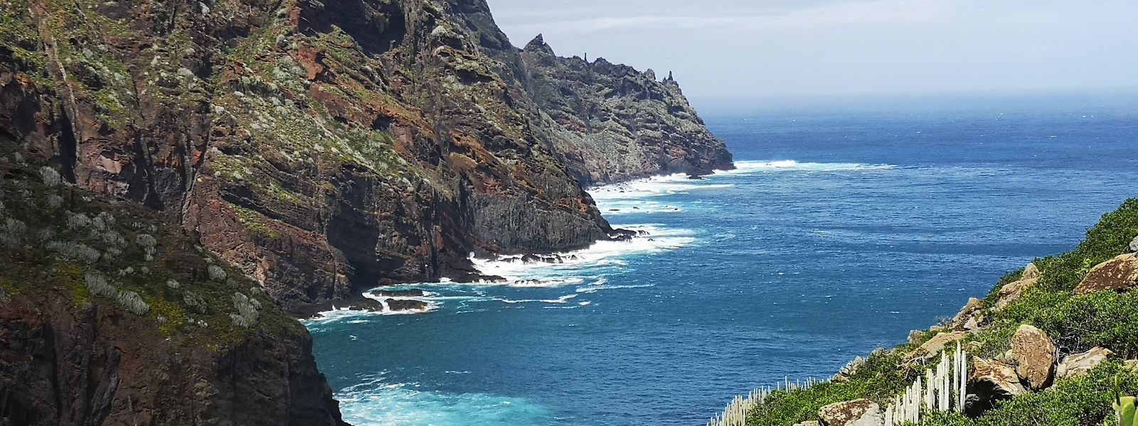
Rocky, surf-beaten beach on the Anaga coast, reached on foot by trails from Afur or Taganana.
- Entrance
- Free; open beach with no ticket.
- Accessibility
- Not accessible by wheelchair or for anyone with limited mobility: the only approach is a hiking trail with a lot of climbing, and the beach is rocky.
- Parking
- Two free asphalt car parks, about 1.7 km from the beach in a straight line.
- Difficulty
- A hike: about 2.7 km each way from Afur, or about 10 km there and back from Taganana with around 500 m of ascent (three to three and a half hours). The return is uphill and harder, with no shade on the way.
- Transport
- Nearest bus stops: Afur, about 1.75 km away in a straight line, and El Salto, about 2 km.
- Hours
- Open at all times.
What makes it special
The walk is the point. The route from Taganana runs high above the ocean almost the whole way, with the green ridges of Anaga on one side and open Atlantic on the other, and the beach at the end comes as the reward. From Afur the path is shorter, about 2.7 km each way down towards the sea.
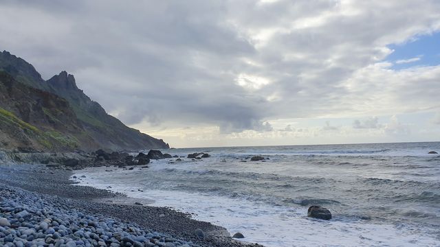
The beach itself is dark volcanic stone with surf breaking hard along it. Few people make the effort to get here, so you often have the shore to yourself. Sit on the rocks, eat what you carried in, and save your legs for the climb back.
Good to know
- Swimming is out: the beach is rocky and the waves are too strong.
- There is no shade on the path or on the beach. Bring sun protection and plenty of water.
- No toilets and no drinking water at the beach, and none nearby. Fill up before you set off.
- The return is the harder half, with most of the climbing. Wear proper walking shoes and take your time.
Getting there
The last stretch is on foot whichever way you come. The nearest car parks sit about 1.7 km from the beach in a straight line, and the nearest bus stops, Afur and El Salto, are about 1.75 km and 2 km away.
From Afur the trail runs about 2.7 km each way down to the sea. The alternative starts in Taganana: about 10 km there and back on a path above the ocean, with around 500 m of ascent, and it takes three to three and a half hours. The beach lies almost at sea level, so the walk out from either village ends in a climb.
Best time to visit
Best: an early start on a clear day, so most of the walking is done before midday.
Avoid: the middle of a hot day, and days when a heavy swell is running.
There is no shade anywhere on the route or the beach, and a north-facing shore like this one takes the full Atlantic swell, which builds in winter.
Sun & daylight
Nearby Places

Similar Places
Tamadite Beach on the map
Strong waves break on a rocky shore and swimming is not safe. Stay out of the water and never turn your back on the sea.
Get directions

Your whole travel map in one place
Get inspired by new places around the world and find the ones worth the journey
Frequently asked questions
Can you swim at Tamadite Beach?
No. The beach is rocky and the waves are too strong for swimming.How long is the hike to Tamadite Beach?
From Afur it is about 2.7 km each way. From Taganana it is about 10 km there and back with around 500 m of ascent, and takes three to three and a half hours. The return is the harder half, as most of the climbing comes on the way back.Is the hike suitable for children?
The Taganana route is strenuous for young children but doable. There is no shade on the way and no swimming at the beach, so plan for heat and bring plenty of water.Are there any facilities at the beach?
No. There are no toilets and no drinking water at the beach or nearby, so carry everything you need.