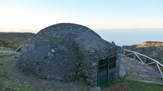
Levada do Barreiro (PR 4) is a hiking route on Madeira, officially graded easy and managed by Funchal City Council. It follows a levada, one of the island's irrigation channels, from Poço da Neve, an igloo-shaped ice house dating from 1813 near the ER 202 regional road, to Casa do Barreiro in the Funchal Ecological Park, between 1650 m and 975 m. It is known for its high-altitude vegetation of tree heath and mountain grapevines, and for its views over the Ribeira de Santa Luzia valley and Funchal.
Levada do Barreiro (PR 4)
Local name: PR 4 - Levada do Barreiro
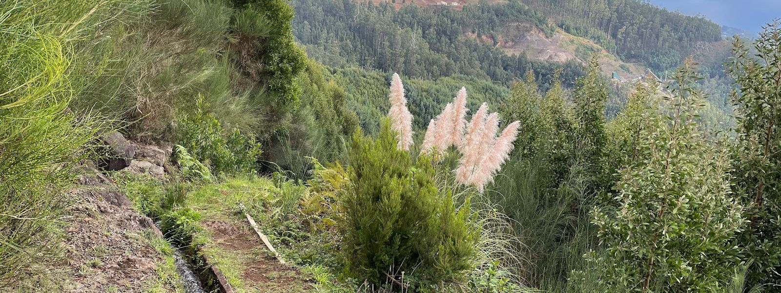
Mountain levada walk from an igloo-shaped 1813 ice house to Casa do Barreiro, with views over Funchal.
Levada do Barreiro (PR 4) on the map
- Route length
- 4.9 km · one way
- Entrance
- Free: the trail is run by Funchal City Council and sits outside the IFCN fee system.
- Walking time
- 2 h 10 min one way officially; about 3.5 h from the Ecological Park on to Monte with many photo stops.
- Difficulty
- Easy. Well-maintained path with some steep parts, reaching 1650 m; good shoes are needed.
- Parking
- Near the route: paid dirt car park about 460 m away, free asphalt one about 870 m away, in a straight line.
- Transport
- Bus 56 from Funchal to the Ecological Park; buses 20, 21 and 22 to Funchal from the botanical garden at Monte.
- Accessibility
- Accessible signposted trail to Ribeira das Cales beside the Ecological Park Interpretation Centre; PR 4 itself has steep parts.
- Advance booking
- No booking: PR 4 is outside the SIMplifica system, which covers only trails managed by IFCN.
What makes it special
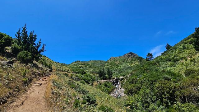
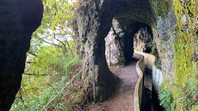
The walk starts at an igloo-shaped ice house dating from 1813, once used to store the snow and hail that fell occasionally on these mountains and keep Funchal supplied with ice. From there the levada runs on as a narrow stone channel, like a gutter, until its water races downhill in a levada waterfall.
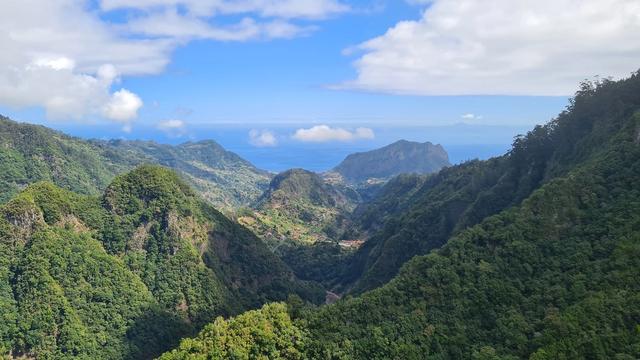
The views carry the rest: the Ribeira de Santa Luzia valley, Funchal beyond it, and the air full of the smell of plants. The landscape is much altered, with broom and acacia spread where native forest once stood. Crowds stay away.
The route
At Poço da Neve, on the ER 202 towards Pico do Areeiro, the official route starts at the ice house and loses height from here, between 1650 m and 975 m.
Along the levada the path runs through tree heath and mountain grapevines, then opens onto the Ribeira de Santa Luzia valley and Funchal. Stop at the Barreiro viewpoint.
At the Ecological Park reception, a second way in, a map and signs are there even when it is shut. Pink signs lead to a point where you carry on to Casa do Barreiro or go back. A third way in leaves the road at the "Casa do Barreiro" sign: a smaller channel runs into the larger one, and further along the water races downhill.
At Casa do Barreiro you turn back or take the very steep road to Monte.
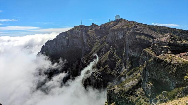
Heading uphill instead, PR 4 stops short of Pico do Areeiro. The last stretch follows PR 3 to the top, where you cross to PR 1. PR 3 also combines with PR 4 for a loop to the Ecological Park.
Good to know
- The route runs one way. Decide before you set off whether to walk back along the levada or go on to Monte for a bus.
- The road from Casa do Barreiro to Monte is very steep, and it comes at the end of the walk.
- There are no toilets or drinking water by the levada, so bring your water. Public toilets stand at the botanical garden at Monte.
- Sundays are thinner: buses run less often, and neither the Ecological Park reception nor Casa do Barreiro can be counted on to open.
Getting there
The official start, Poço da Neve, is on the ER 202, the regional road that leads to Pico do Areeiro. Two car parks lie near the route, about 460 m and 870 m away in a straight line; with a car, plan to walk back along the levada.
Bus 56 from Funchal stops at the Ecological Park, and the Ribeira das Cales stop is about 3.5 km away in a straight line. From Casa do Barreiro you can continue on foot by the very steep road to Monte and take a bus back to Funchal from the botanical garden. Buses run less often on Sundays than on weekdays, which leaves less room for a late finish.
Best time to visit
Best: a clear day, and a weekday if you are coming by bus.
Avoid: low cloud if the views are the point, and winter days with snow or hail forecast on the high ground.
The views over the Ribeira de Santa Luzia valley and Funchal need clear air, weekday buses run more often than Sunday ones, and the ice house stands where it does because snow and hail fall occasionally on these mountains. Rain alone is no reason to cancel: the path stays wide enough and walkable, and wet weather empties it.
Things to do nearby
All tours in Madeira on GetYourGuide
Paid links: booking through them supports YowJourney.
Sun & daylight
Along the route

Similar Places

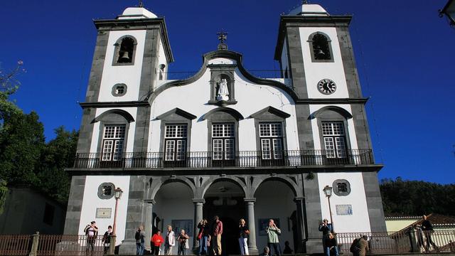
Levada do Barreiro (PR 4) on the map
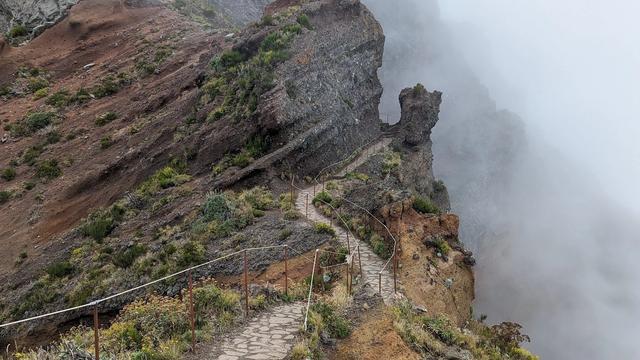
Cloud and rain close in fast on the high ground near Poço da Neve, at up to 1650 m, and the temperature drops with them. Carry a waterproof layer and keep to the signed path when visibility goes.
Get directions
Your whole travel map in one place
Get inspired by new places around the world and find the ones worth the journey
Frequently asked questions
How long does the walk take?
The official time is 2 hours 10 minutes one way, from Poço da Neve to Casa do Barreiro. From the Ecological Park on to Monte, with many photo stops, it takes about three and a half hours.How do I get back from Casa do Barreiro?
Walk back along the levada, or take the very steep road to Monte and catch bus 20, 21 or 22 to Funchal from the botanical garden.Can I reach the top of Pico do Areeiro on PR 4?
PR 4 itself stops short of the summit. The last stretch follows PR 3 to the top, where you can cross to PR 1.Is the walk worth doing in the rain?
The path is wide enough and stays walkable in rain, and wet weather empties it. Low cloud can take the views.