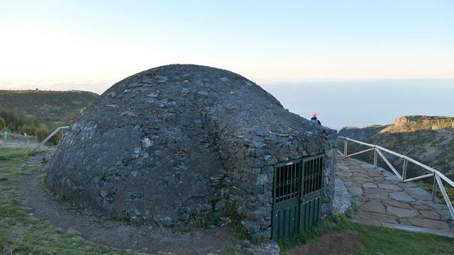
Vereda do Burro, classified as PR 3 and managed by the Câmara Municipal do Funchal, is a trail on Madeira linking Pico do Areeiro with the Funchal Ecological Park Welcome Centre at Ribeira das Cales. It starts at 1805 m, a little below the 1818 m summit of the third-highest peak in the archipelago, and descends to 1130 m through the typical flora of the island's high-altitude regions. It is known for Poço da Neve, an igloo-shaped reservoir from 1813 that once stored snow and hail, the ice going to hospitals, hotels and the making of ice cream.
Vereda do Burro (PR 3)
Local name: PR 3 - Vereda do Burro
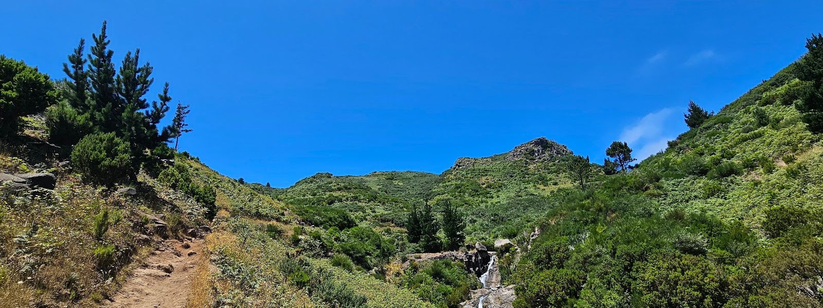
One-way mountain trail from Pico do Areeiro down to Ribeira das Cales, past an igloo-shaped snow reservoir of 1813.
Vereda do Burro (PR 3) on the map
- Route length
- 7.2 km
- Entrance
- Free. PR 3 sits outside the IFCN trail fee system.
- Walking time
- 2 h 40 min to 2 h 45 min, one way.
- Difficulty
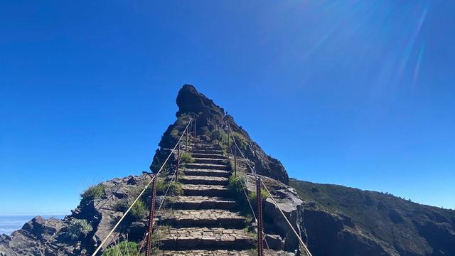
- Easy. Almost all downhill, from 1805 m to 1130 m, over many stairs, dusty sand and rock; hard on knees, feet and ankles.
- Parking
- Two car parks at Pico do Areeiro: one free with an asphalt surface, one paid. The walk ends elsewhere, so a car left here needs collecting.
- Transport
- No stop at the start: the nearest, Pico Furão-Final and Saída do Túnel-C Freiras, are about 3.4 km and 3.5 km away in a straight line.
- Accessibility
- No wheelchair or pushchair access: the route has many stairs, dusty sand and rock. The stairs are hard going for a child.
- Advance booking
- No booking needed. PR 3 is managed by the Câmara Municipal do Funchal and sits outside the IFCN booking system.
What makes it special
On the way down you pass an igloo-shaped reservoir built in 1813 to hold snow. Poço da Neve stored what fell, now and then, as snow and hail on the highest ground above Funchal, and the ice went on to hospitals, hotels and ice-cream makers.
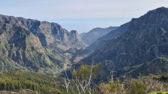
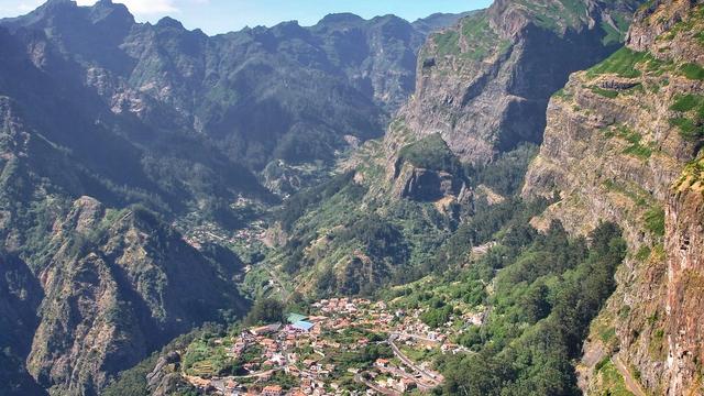
The walk opens a little below Pico do Areeiro, the third-highest peak in the archipelago, with views over the Ribeira do Cidrão valley and across to the Paul da Serra plateau. Then comes a long descent through Madeira's high-altitude flora, lush in places and marked by forest fire in others, on a path that stays quiet. The name means Donkey Path, and donkeys are there at the finish, next to a café.
The route
At Pico do Areeiro the path sets off at 1805 m, a little below the 1818 m summit, with views over the Ribeira do Cidrão valley, whose stream joins the Ribeira dos Socorridos at Curral das Freiras, and across to the Paul da Serra plateau.
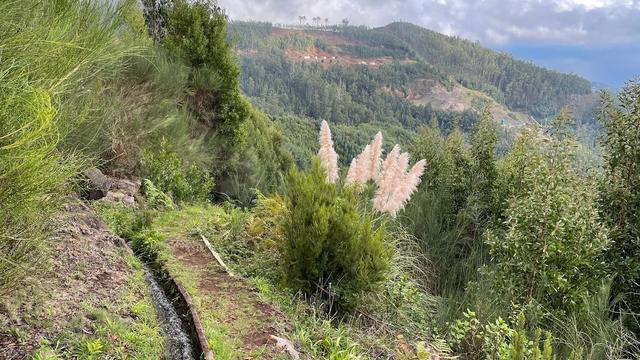
On the way down it is almost all descent, over many stairs, dusty sand and rock, through high-altitude flora and past Poço da Neve. Some stretches are lush and green; others show forest-fire damage.
At Ribeira das Cales, at 1130 m, the walk ends by the Funchal Ecological Park Welcome Centre. The route does not loop back to the top. PR 3.1 carries on from here, its last part a plain walk downhill and then through the city to a bus stop.
Good to know
- One way: the walk ends at Ribeira das Cales, so plan your ride back before you set off.
- Knees and ankles: almost all of it is downhill, over many stairs, dusty sand and rock, and that is what wears you out.
- Kit: wear boots or trail shoes and carry a rain jacket. T-shirts and road trainers fall short once the weather turns.
- Water and toilets: no drinking water at the top, so fill up before you come. The toilets there charge a fee.
- At the finish: a café and donkeys wait at the end. Bring some vegetables for the donkeys.
Getting there
The walk starts a little below the top of Pico do Areeiro, and you reach it by car or taxi. A taxi suits this walk best: the path ends at Ribeira das Cales, and a car left at the top means finding a way back up to it.
No bus stop serves the top. The nearest stops, Pico Furão-Final and Saída do Túnel-C Freiras, lie about 3.4 km and 3.5 km away in a straight line, and further than that on the ground.
Sort out your ride from the Welcome Centre before you set off. The other way out is on foot: PR 3.1 continues from the finish, downhill and through the city, to a bus stop.
Best time to visit
Best: a dry, clear day, starting in the morning.
Avoid: rain and low cloud without proper kit and, in winter, snow or ice on the top.
The views over the Ribeira do Cidrão valley and out to Paul da Serra need clear air, cloud on high ground builds as the day warms, and the stairs and rock turn slippery once wet.
Things to do nearby
All tours in Curral das Freiras on GetYourGuide
Paid links: booking through them supports YowJourney.
Sun & daylight
Along the route
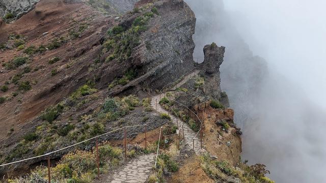
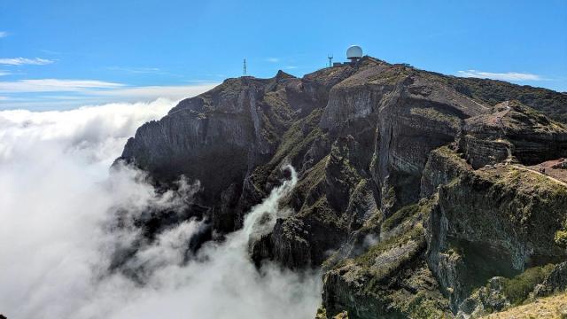
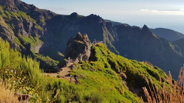

Similar Places

Vereda do Burro (PR 3) on the map
Rain and cloud can close in partway down at this altitude, and the stairs, sand and rock turn slippery underfoot. Set out in boots or trail shoes with a rain jacket, even if the top looks clear.
Get directions
Your whole travel map in one place
Get inspired by new places around the world and find the ones worth the journey
Frequently asked questions
Is Vereda do Burro a loop?
No. It runs one way from Pico do Areeiro to the Funchal Ecological Park Welcome Centre at Ribeira das Cales, so plan your ride back before you start. PR 3.1 continues from the finish on foot, downhill and through the city, to a bus stop.How hard is it on the legs?
There is little to climb: almost all of it is downhill, from 1805 m to 1130 m. The strain comes from the many stairs and the dusty sand and rock, which are hard on knees, feet and ankles.What is Poço da Neve?
An igloo-shaped reservoir from 1813, beside the route, once used to store the snow and hail that fell sporadically on the highest ground above Funchal. The ice went to hospitals and hotels and into ice cream.Does it work as a substitute when PR 1 is closed?
Yes. PR 3 starts at Pico do Areeiro as PR 1 does, so a closure need not waste the trip up. It is a different walk, a long descent to Ribeira das Cales that does not bring you back to the top.