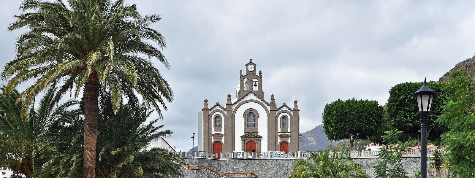
Santa Lucía de Tirajana runs from the mountains of south-eastern Gran Canaria down to the coast. The old town of Santa Lucía sits up in the hills at 680 m, while most of the municipality's 78,584 people live in Vecindario, El Doctoral and Cruce de Sardina, near the GC-1 motorway. Travellers come up for La Fortaleza, a protected archaeological site, and for the 19th-century water mills on the Riego de la Zarcilla.
Santa Lucía de Tirajana
- Currency
- Euro (EUR)
- Language
- Spanish; English, German in resorts
- Power plug
- Type C/F, 230 V
- Visa
- Schengen
- Time zone
- UTC+0 / UTC+1 (WET/WEST)
- Tap water
- Safe; mineral taste in the south
- Tipping
- Not expected; 5–10% for great service
- Emergency
- 112
Things to do
All tours in Santa Lucía de Tirajana on GetYourGuide
Paid links: booking through them supports YowJourney.
When to go
High season
Nov – Mar
The island's winter-sun season: the hills are at their greenest after the winter rain, and the mountain town turns cool once the sun drops.
Shoulder
Apr – Jun
Mild days in the hills and longer light make spring the easiest time to walk around La Fortaleza.
Low season
Jul – Oct
Summer heat sits on the bare rock of the mountains at midday, and the trade wind blows hardest along the coast; go up early.
How long to stay
Half a day to a full day covers the mountain side: the old town of Santa Lucía, the rock of La Fortaleza and the two restored mills at El Valle. Vecindario and the other coastal towns are where people live, work and shop, and most visitors only pass them on the GC-1 on the way up. Staying longer makes sense only as a base for exploring the rest of the island's south-east.
Getting around
The municipality splits into two halves. Vecindario, El Doctoral and Cruce de Sardina lie on the flat ground near the coast, where the GC-1 motorway crosses the south-east of Santa Lucía de Tirajana. The old town sits inland at 680 m, so reaching it means leaving the motorway and climbing into the mountains.
The road up winds through bends above steep slopes. Take it slowly, and keep your eyes on the tarmac rather than the view.
What to see

Destinations in Santa Lucía de Tirajana
Frequently asked questions
Is Vecindario part of Santa Lucía de Tirajana?
Yes. Vecindario, El Doctoral and Cruce de Sardina are the municipality's larger towns and lie near the coast. The town of Santa Lucía itself is up in the mountains at 680 m.What is La Fortaleza?
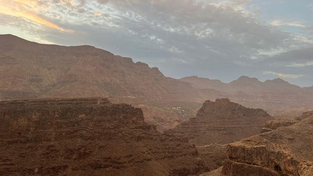
An archaeological site in the mountains of the municipality, listed as a Property of Cultural Interest. It is a rock outcrop riddled with caves left by the island's pre-Hispanic inhabitants, who made one of their last stands here against the Castilian conquest. The rock has steep, unfenced edges: watch your footing and keep children close.What are the mills of El Valle?
Two of the nine 19th-century water mills built on the Riego de la Zarcilla. One pressed olive oil, the other ground gofio, the toasted grain flour of the Canaries. Most of the nine kept working until the 1970s. The two at El Valle were declared Properties of Cultural Interest in 2003: the council of Gran Canaria repaired the gofio mill that year, and the restoration of the oil mill, which is privately owned, was completed in 2004.How big is Santa Lucía de Tirajana?
The municipality covers 61.56 km² and has 78,584 inhabitants, most of them in the coastal towns.