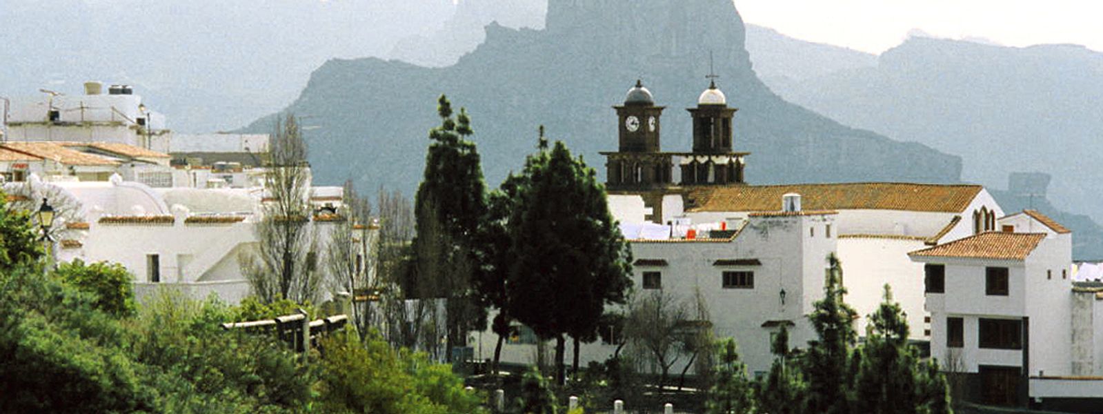
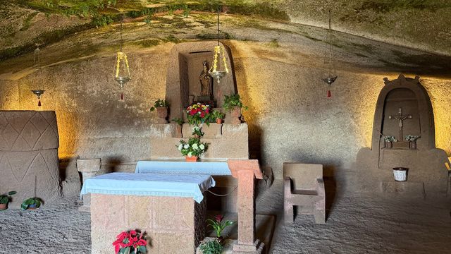
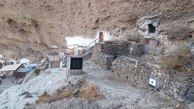
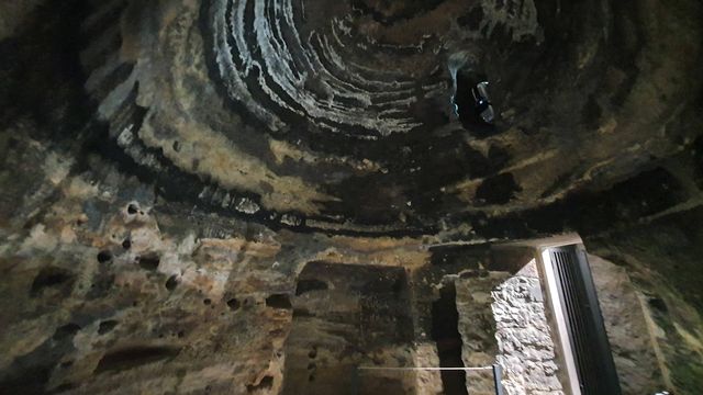
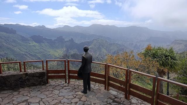
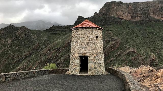
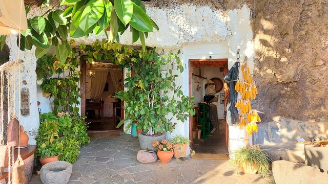
Doors and windows are set straight into the rock here. Artenara's cave houses and its chapel cut into the hillside sit on a ridge at 1,270 m, looking out over the pine-covered mountains of western Gran Canaria. Just over 1,000 people live across the municipality's 66.7 km², the smallest population of any municipality on the island. Travellers come up for the mountain air, the views into the island's interior and a village that still lives partly inside the rock.
Artenara
- Currency
- Euro (EUR)
- Language
- Spanish; English, German in resorts
- Power plug
- Type C/F, 230 V
- Visa
- Schengen
- Time zone
- UTC+0 / UTC+1 (WET/WEST)
- Tap water
- Safe; mineral taste in the south
- Tipping
- Not expected; 5–10% for great service
- Emergency
- 112
Things to do
All tours in Artenara on GetYourGuide
Paid links: booking through them supports YowJourney.
When to go
Low season
Nov – Feb
Winter brings cold nights at 1,270 m, and cloud can settle over the ridge and hide the views for a whole day.
Shoulder
Mar – Jun
Spring leaves the uplands green after the winter rain, and the air is often clear enough to see far across the island's interior.
High season
Jul – Oct
Summer and early autumn are dry and warm, and the village stays cooler than the beaches on the coast below.
How long to stay
A day is enough for the village itself: the cave houses, the chapel in the rock and the views from the ridge. Most people drive up from the coast and go back down the same day. At 1,270 m the evenings turn cool, so pack a warm layer if you stay into the dark.
What to see
Destinations in Artenara
Frequently asked questions
Where is Artenara?
In the mountains of western Gran Canaria, 24 km south-west of Las Palmas.How high is the village?
Artenara stands at 1,270 m. The air is noticeably cooler than on the coast, so bring a warm layer, especially in winter.How big is Artenara?
It is the smallest municipality on Gran Canaria by population, with just over 1,000 residents spread across 66.7 km².