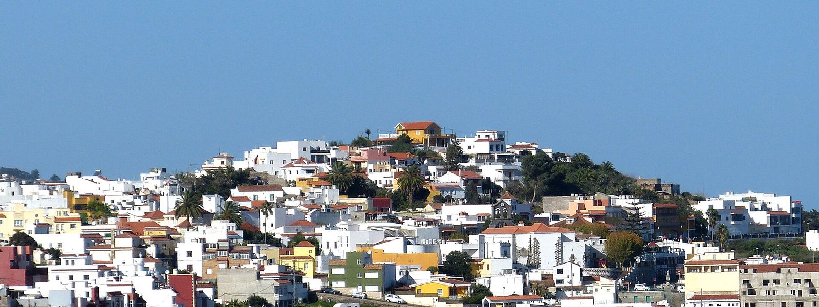
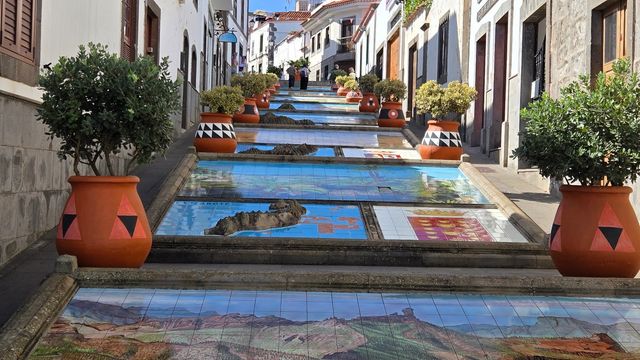
On Gran Canaria, Firgas is called the balcony of the Atlantic: from its streets in the mountains, the view runs down over green farmland to the island's north coast. Founded in 1488, it is the smallest municipality on the island at 15.77 km², and bottled water is produced in the town. The main sight is the Paseo de Gran Canaria, where a 30-metre-high waterfall is laid out beside relief models of the Canary Islands. The church and town hall stand on the central San Roque square.
Firgas
- Currency
- Euro (EUR)
- Language
- Spanish; English, German in resorts
- Power plug
- Type C/F, 230 V
- Visa
- Schengen
- Time zone
- UTC+0 / UTC+1 (WET/WEST)
- Tap water
- Safe; mineral taste in the south
- Tipping
- Not expected; 5–10% for great service
- Emergency
- 112
Things to do
All tours in Firgas on GetYourGuide
Paid links: booking through them supports YowJourney.
When to go
Low season
Nov – Feb
November and December are the wettest months, with 54 mm of rain each, and January is the coolest, averaging 14.4 °C; up in the hills it feels cooler than on the coast.
High season
Mar – Jun
The winter rains have passed and the farmland below the town is still green, which makes these the best months for the views over the north coast.
Shoulder
Jul – Oct
July and August are almost rainless at 1 mm each, and August is the warmest month, averaging 21.8 °C.
How long to stay
Half a day covers Firgas: a walk along the Paseo de Gran Canaria, the San Roque square with its church and town hall, and time at the viewpoints over the north coast. The municipality borders Moya, Valleseco, Teror and Arucas, so Firgas fits into a day spent on the hill towns of the island's north.
What to see
Destinations in Firgas
Frequently asked questions
Why is Firgas called the balcony of the Atlantic?
The town sits in the mountains of northern Gran Canaria, and its viewpoints look out over the island's north coast and the ocean beyond.What is the waterfall in Firgas?
It is part of the Paseo de Gran Canaria, a street in the town where a 30-metre-high waterfall has been laid out together with relief models of the Canary Islands.Is Firgas on the coast?
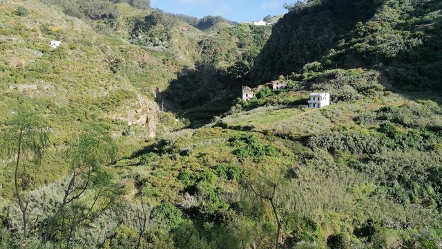
No. The municipality has no coastline. Its lowest point, at 41 m, lies in the Quintanilla ravine on the boundary with Arucas, and its highest is Pico de Osorio at 967 m.How big is Firgas?
At 15.77 km², it is the smallest municipality on Gran Canaria, with about 7,700 residents.