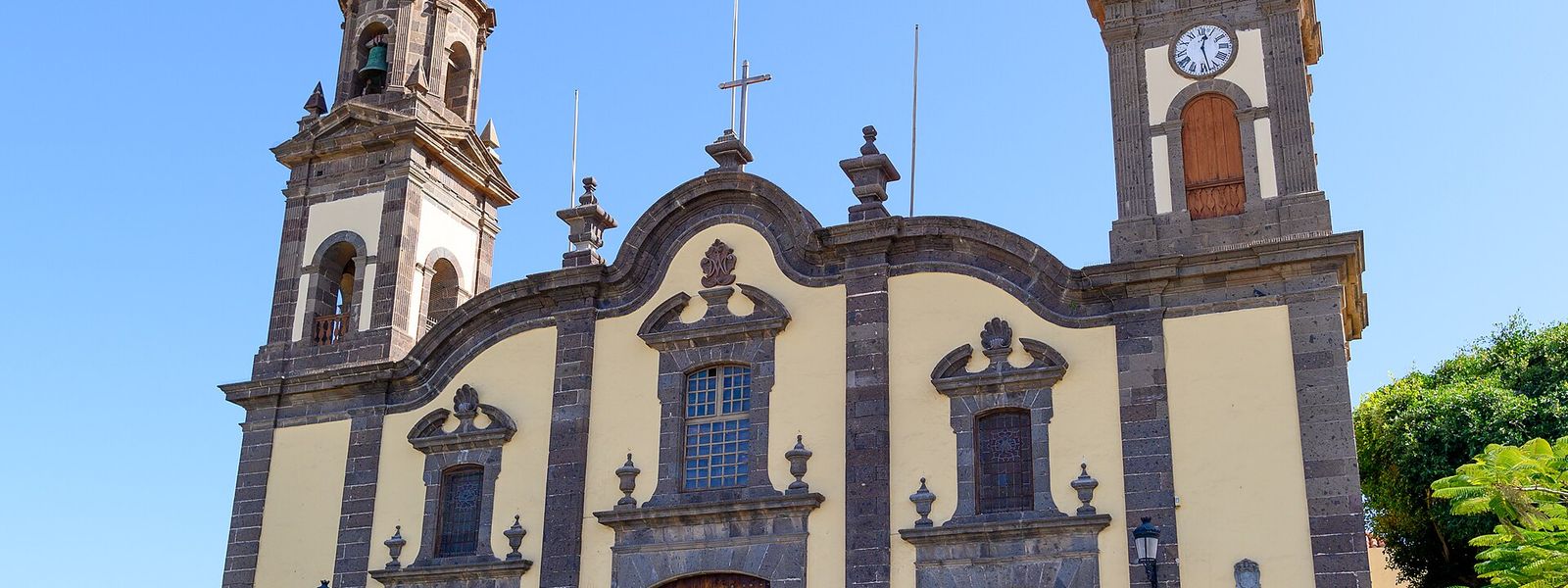
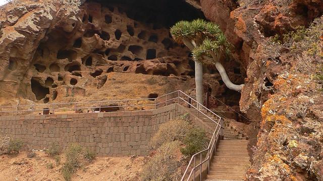
Santa María de Guía sits in a valley 2 km from the north coast of Gran Canaria, its historic centre gathered around the Plaza Mayor. On the square stands the sixteenth-century Quintana House, its Mudéjar wooden balcony carrying the Guanarteme and Quintana arms. Travellers come for the Cenobio de Valerón, the largest pre-Hispanic collective granary, a honeycomb of caves in the hillside, and for queso de flor, the local cheese curdled with thistle flowers.
Santa María de Guía de Gran Canaria
- Currency
- Euro (EUR)
- Language
- Spanish; English, German in resorts
- Power plug
- Type C/F, 230 V
- Visa
- Schengen
- Time zone
- UTC+0 / UTC+1 (WET/WEST)
- Tap water
- Safe; mineral taste in the south
- Tipping
- Not expected; 5–10% for great service
- Emergency
- 112
Things to do
All tours in Gran Canaria on GetYourGuide
Paid links: booking through them supports YowJourney.
When to go
Low season
Dec – Mar
Winter brings the wettest weather, and the interior of the municipality takes more rain and less sun than the coast.
Shoulder
Apr – May
Spring leaves the higher ground green after the winter rain, and the old centre is at its calmest.
High season
Jun – Sep
San Felipe beach is covered with sand in summer and the coast sees most use, while trade-wind cloud often sits over the north.
Shoulder
Oct – Nov
Autumn keeps the sea warm from summer before the first winter rain reaches the hills.
How long to stay
Half a day covers the old centre around the Plaza Mayor and a visit to the Cenobio de Valerón. It fits easily into a day along the north coast, with Las Palmas 19 km to the east. Give it longer only if you want the interior: the municipality climbs from the coast into the mountains, and the upper slopes are cooler, wetter country.
Getting around
The GC-2 motorway passes north of the town, and Las Palmas lies 19 km to the east. From the coast the municipality climbs into the mountainous interior in three bands: the coastal zone up to 300 m, the medianías between 300 and 600 m, and the high zone above that.
The caveat is the weather, which changes on the way up. The higher ground gets fewer sunny days, more rain and lower temperatures than the coast, so take a layer when you head inland.
What to see
Destinations in Santa María de Guía
Frequently asked questions
What is the Cenobio de Valerón?
Also called the caves of Valerón, it is the largest pre-Hispanic collective granary, protected as an archaeological site of cultural interest. Its size reflects how farming on Gran Canaria was built on plantations, much of them grain, which set the island apart from the other Canaries, where stock-breeding dominated.Where does the name Santa María de Guía come from?
Before the conquest of 1483 the settlement on this spot was called Aguía. Afterwards it became Villa de Guía, and in the nineteenth century Guía de Gran Canaria, partly to tell it apart from Guía de Isora on Tenerife. In 1963 the name was changed to Santa María de Guía de Gran Canaria, adding the invocation of the hermitage founded at the end of the fifteenth century.Is there a beach?
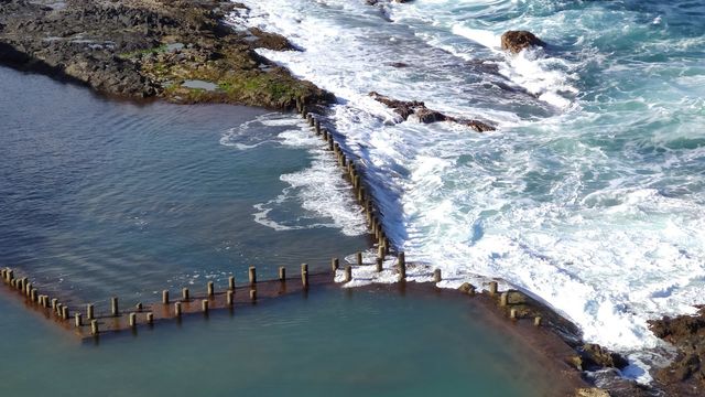
The coast is mostly rocky, with cliffs worn down by erosion. San Felipe beach is the exception, and it is covered with sand in summer. This is an open Atlantic shore that takes breaking waves: do not turn your back on the sea.