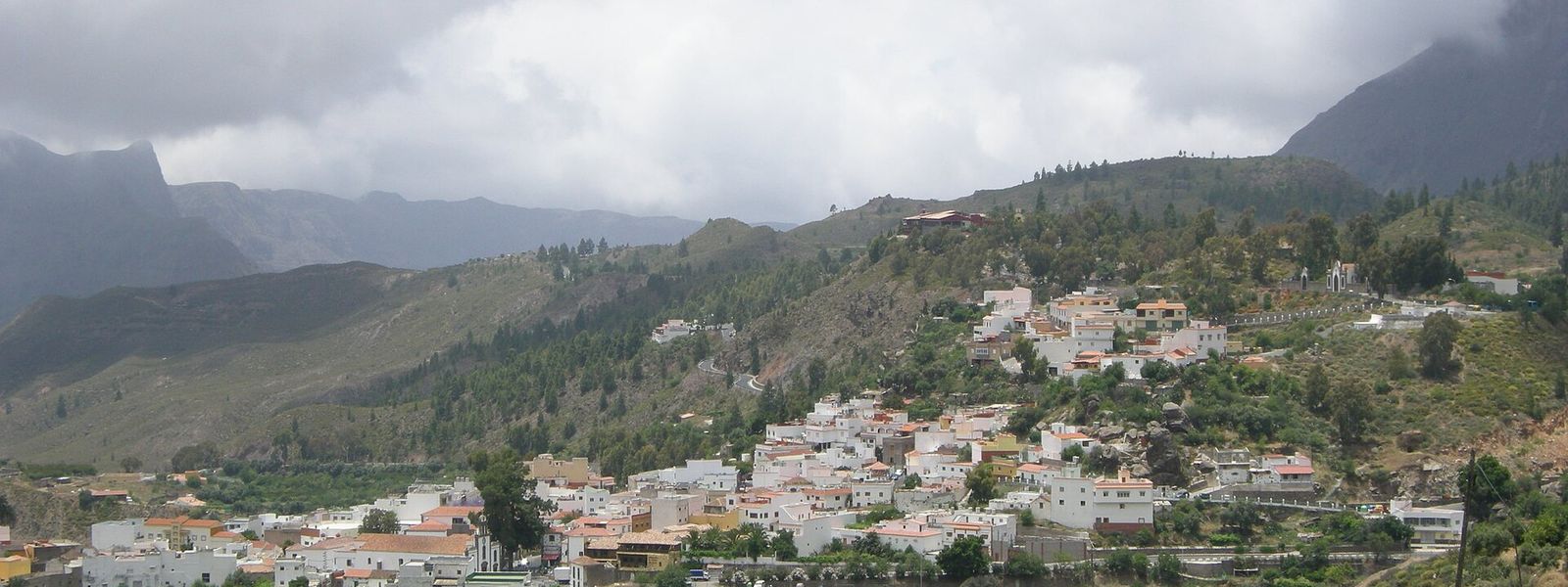
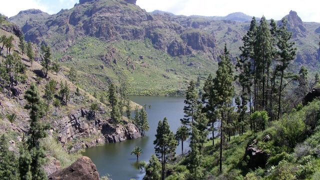
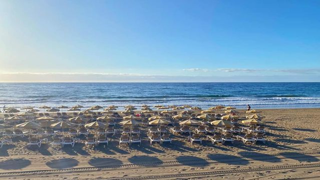
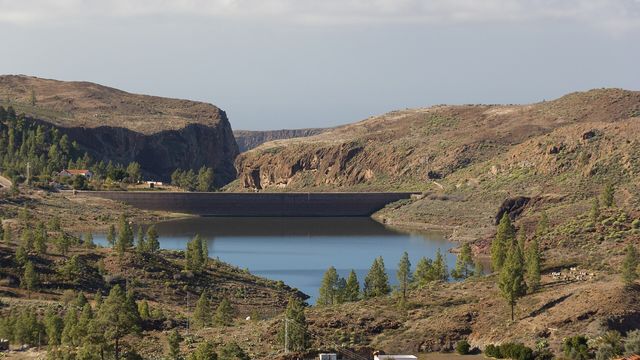
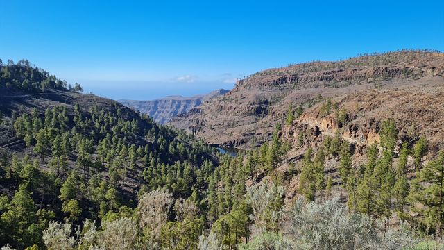
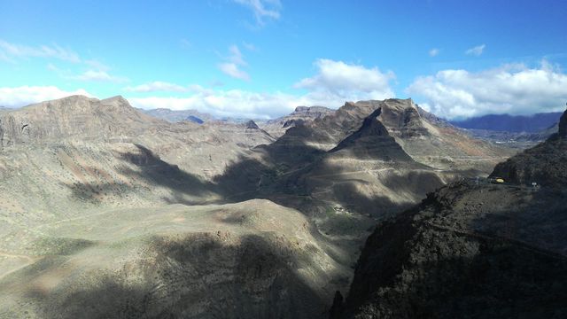
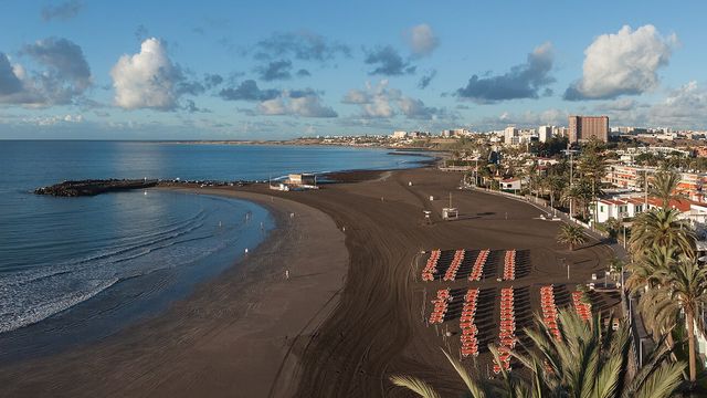
San Bartolomé de Tirajana covers more than a fifth of Gran Canaria, and it holds two very different places. The coast carries the big resorts of Maspalomas, Playa del Inglés and San Agustín, with long golden-sand beaches, the Maspalomas dune field and its brackish pool. Inland the ground climbs through deep ravines to Tunte, the municipal seat, and to Pilancones Natural Park and the Fataga Protected Landscape, where the air is cooler and farming takes over from tourism.
San Bartolomé de Tirajana
- Currency
- Euro (EUR)
- Language
- Spanish; English, German in resorts
- Power plug
- Type C/F, 230 V
- Visa
- Schengen
- Time zone
- UTC+0 / UTC+1 (WET/WEST)
- Tap water
- Safe; mineral taste in the south
- Tipping
- Not expected; 5–10% for great service
- Emergency
- 112
Things to do
All tours in San Bartolomé de Tirajana on GetYourGuide
Paid links: booking through them supports YowJourney.
When to go
High season
Oct – Apr
Main season for European visitors: mild days on the coast, and what little rain the south gets falls in these winter months.
Low season
May – Aug
Outside the main season; August is the warmest month, and the open dunes and beaches give no shade at midday.
Shoulder
Sep – Sep
The turn of the year here: the high season starts in September or October, as the heat eases on the coast.
How long to stay
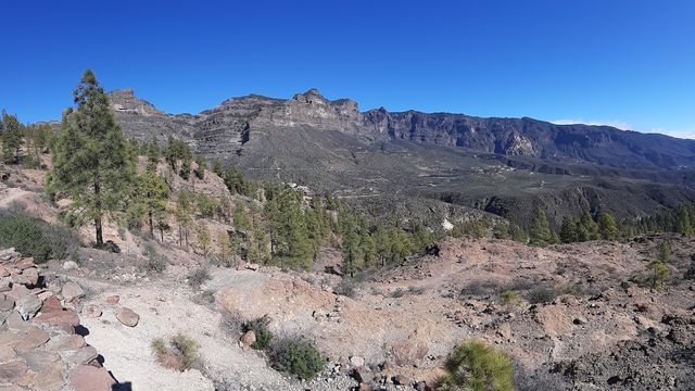
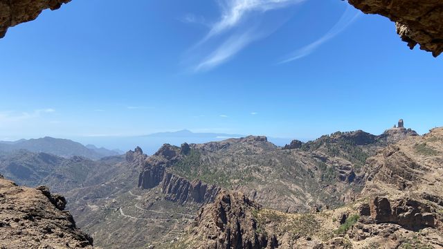
A week suits a beach stay on the coast, based in Maspalomas, Playa del Inglés or San Agustín. Give the uplands a separate day or two. Tunte, the municipal seat, sits in the mountains 17 km from the coast at 850–900 m, and Pilancones Natural Park, the Fataga Protected Landscape and the Riscos de Tirajana Natural Monument lie in the same high country.
Getting around
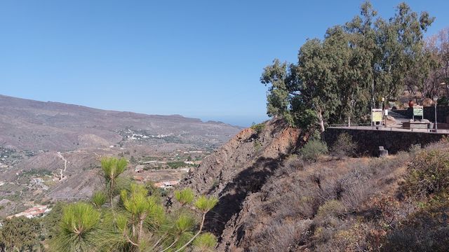
The GC-1 motorway crosses the southern part of the municipality and ties the coastal resorts to Las Palmas de Gran Canaria and Gran Canaria Airport. Everything else runs uphill. Above the built-up coastal plain the land rises towards the centre of the island, cut by deep ravines, and Tunte sits 17 km inland at 850–900 m. The motorway stays on the coastal strip, so the mountains are a separate trip from the beach side.
What to see

Destinations in San Bartolomé de Tirajana
Frequently asked questions
Is Maspalomas part of San Bartolomé de Tirajana?
Yes. The municipality contains the resorts of Maspalomas, including Playa del Inglés and San Agustín, along with the Maspalomas dune field. Most of its population lives along this coast.Where is the town of San Bartolomé de Tirajana itself?
The municipal seat is the village of Tunte, up in the mountains 17 km from the coast at 850–900 m. The municipality's highest point, Morro de la Agujereada, reaches 1,957 m.Is the whole coast sandy beach?
No. The centre of the coast has the long, wide golden-sand beaches and the dunes. The northern end is rocky, and the southern end runs to cliffs.Which protected areas lie in the municipality?
The Riscos de Tirajana Natural Monument, Pilancones Natural Park, the Fataga Protected Landscape, the Maspalomas Dunes Special Nature Reserve and the Juncalillo del Sur Site of Scientific Interest. Nublo Rural Park and the Los Marteles Special Nature Reserve are shared with neighbouring municipalities.When is the main tourist season?
From September or October through April, when mild temperatures draw visitors from across Europe. Rain is low and falls mostly in winter, since the south sits in the lee of the island, sheltered from the humid north-east winds.