Soria Reservoir lies behind a concrete dam in the hills of San Bartolomé de Tirajana, in the south of Gran Canaria, and is the largest reservoir on the island. It forms the lower basin of the Chira–Soria pumped-storage scheme, which links it to the Chira reservoir (Presa de Chira) upstream and runs water through hydroelectric turbines. Building the scheme is one of the largest concrete projects in the Canary Islands, and the reservoir was drained for the works.
Soria Reservoir
Local name: Embalse de Soria
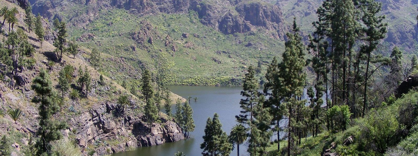
Mountain reservoir behind a concrete dam in the hills of southern Gran Canaria, tied into a hydroelectric scheme
- Entrance
- Free — there is no ticket.
- Parking
- Two car parks, about 530 m and 740 m from the reservoir in a straight line.
- Transport
- Nearest bus stop: Pie de Cuesta, about 4.5 km away in a straight line.
- Advance booking
- No booking needed.
- Hours
- Open countryside with no set hours.
- Address
- Embalse de Soria, Las Palmas, Spain
What makes it special
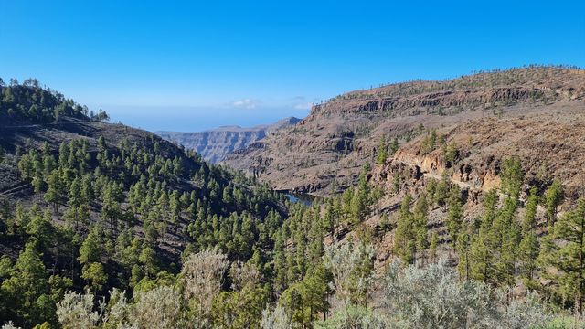
The way up is the reason to come. The route climbs through the hills of the south all the way to the top, the views hold the whole distance, and coffee waits at the end.
At the head of it stands the dam, a concrete wall closing off the ravine and holding back the largest reservoir on Gran Canaria. For now the basin is a dry bed and a construction site: the reservoir was emptied for the Chira–Soria hydroelectric scheme, one of the biggest concrete projects the Canary Islands have taken on. Once its turbines run, water will move between Soria and the Chira reservoir higher up, storing power for the island.
Good to know
- The reservoir was emptied for the hydroelectric works, which are expected to run until at least 2027. Expect a dry basin.
- No toilets and no drinking water near the reservoir. Fill up before you come.
- The two car parks lie about 530 m and 740 m from the reservoir in a straight line, so the last stretch is on foot.
- The S-60 walking trail passes about 450 m away, marked by a Cabildo de Gran Canaria guidepost.
Getting there
The nearest bus stop, Pie de Cuesta, is about 4.5 km away in a straight line, so this is a trip to plan by car. The route climbs all the way to the top, and the views come with it.
Two car parks sit about 530 m and 740 m from the reservoir in a straight line. From either one, the rest is on foot. A Cabildo de Gran Canaria guidepost for the S-60 trail stands about 450 m from the reservoir, for anyone who wants to carry on walking.
Best time to visit
Best: early morning or late afternoon. Avoid: the middle of a summer day, and any visit built around seeing a full reservoir while the hydroelectric works go on.
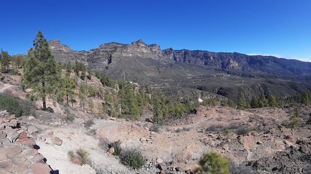
The ravine slopes are bare rock with little shade, and low sun takes the edge off the heat while it brings out the shape of the hills.
Sun & daylight
Nearby Places
Similar Places

Soria Reservoir on the map
The slopes around the reservoir are steep and largely unfenced, and the basin is an active works site. Keep to the road and marked paths, and stay out of the dry bed.
Get directions

Your whole travel map in one place
Get inspired by new places around the world and find the ones worth the journey
Frequently asked questions
Is there water in Soria Reservoir?
The reservoir was emptied for the works on the Chira–Soria hydroelectric scheme, which are expected to continue until at least 2027.Where can I park?
There are two car parks, about 530 m and 740 m from the reservoir in a straight line. The last stretch is on foot.Can I get there by bus?
The nearest stop, Pie de Cuesta, is about 4.5 km away in a straight line, so plan on driving.Are there toilets or drinking water?
No toilets and no drinking water near the reservoir. Bring water with you.Is there a walking trail nearby?
The S-60 trail passes about 450 m from the reservoir, marked by a Cabildo de Gran Canaria guidepost.