The Camino de Santiago of Gran Canaria is the island's pilgrim way, named after the Way of St James. At San Bartolomé de Tirajana, in the mountainous interior of southern Gran Canaria, it is walked as a circular route of 14 to 17.5 km with around 420 m of climbing and wide views over the landscape below. Beyond the loop the path continues north to the Degollada de la Cruz Grande viewpoint and on through pine forest to the Bailico campsite.
Camino de Santiago of Gran Canaria
Local name: Camino de Santiago de Gran Canaria
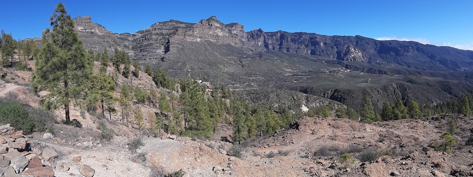
Circular hill walk from San Bartolomé de Tirajana on the island's Camino de Santiago, with views down over the Tirajana basin.
- Entrance
- Free. It is an open walking route with no ticket.
- Accessibility
- Not suitable for wheelchairs or limited mobility: a mountain footpath with steep climbs and descents.
- Parking
- Two car parks nearby: one about 150 m away, and a free one about 380 m away.
- Difficulty
- Circular walk of 14–17.5 km with around 420 m of ascent, steep in places. Sturdy footwear needed; walking sticks help.
- Transport
- Bus stop San Bartolomé de Tirajana, about 700 m away.
- Advance booking
- Not needed for the walk.
- Hours
- Open at any time.
- Address
- C. San Antonio, 27, 35290 San Bartolomé de Tirajana, Las Palmas, Spain
What makes it special
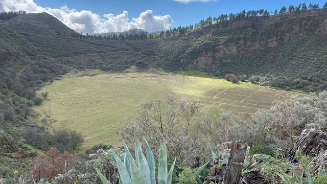
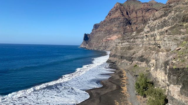
The path climbs out of San Bartolomé de Tirajana, gently in some stretches and steeply in others, and the village drops away until the whole basin lies open below. The views are the reason to come. The country is wild all the way round: no café, no kiosk, nothing on the loop except the trail itself.
For walkers who want more, the path runs on past the loop to the Degollada de la Cruz Grande viewpoint (Mirador Degollada de la Cruz Grande), then north through rocky mountains and pine forest to the Bailico campsite (Zona de Acampada de Bailico). Fit walkers who set off early cover the whole way from San Bartolomé de Tirajana in a day. The campsite has tap water, benches and barbecue pits.
Good to know
- There is nowhere to buy food or drink on the route. Fill your bottles at the water point in San Bartolomé de Tirajana before setting out.
- San Bartolomé de Tirajana itself has few places to eat, so bring your own food for the day.
- The path is usually clear, but the first descent on the loop is easy to miss. Check the route on a map before you leave.
- Wear sturdy boots; walking sticks help on the steep climbs and the descents.
- Walking on to the Bailico campsite in one day takes good fitness and an early start.
Getting there
You arrive in San Bartolomé de Tirajana, a village in the mountains of southern Gran Canaria, and the walk starts from there. Two car parks lie close by, about 150 m and 380 m away in a straight line. The nearest bus stop, also called San Bartolomé de Tirajana, is about 700 m away. Free public toilets and a water point sit at about the same distance, and they are the last ones before the trail, so use them. A PR GC 40 guidepost marks the way.
Best time to visit
Best: early morning, in the cooler months of the year. Avoid: the middle of a summer day. There is no water on the route, and the mountain interior of the island heats up quickly once the sun is high; an early start also leaves enough daylight for the longer walk on to Bailico.
Sun & daylight
Nearby Places
Similar Places
Camino de Santiago of Gran Canaria on the map
The route has no water or refreshments and climbs steep, exposed mountain ground. Carry plenty of water and sun protection, and start early in hot weather.
Get directions

Your whole travel map in one place
Get inspired by new places around the world and find the ones worth the journey
Frequently asked questions
How long is the circular walk from San Bartolomé de Tirajana?
Between 14 and 17.5 km, with around 420 m of climbing and some steep sections.Can I get water or food along the way?
No. The route runs through open country with no stops for refreshments. Fill your bottles at the water point in San Bartolomé de Tirajana and bring food with you.Is the route easy to follow?
The path is usually clear and a PR GC 40 guidepost marks the way, but the first descent on the loop is easy to miss. Check the route on a map before you set off.Can I walk further than the loop?
Yes. The trail continues to the Degollada de la Cruz Grande viewpoint and north through rocky mountains and pine forest to the Bailico campsite. Fit walkers who start early reach the campsite from San Bartolomé de Tirajana in one day.