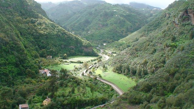
Barranco de los Cernícalos is a ravine on the eastern slopes of Gran Canaria, in the hills between Telde and Valsequillo de Gran Canaria. A stream runs along its floor, rare on an island of mostly dry ravines, and feeds a strip of Canarian willow woodland, cane thickets and ferns. A hiking trail, marked SL-1, climbs the ravine past a series of waterfalls to a narrow canyon where the path ends. The name comes from the kestrels (cernícalos) that nest on its walls.
Los Cernicalos Ravine
Local name: Barranco de los Cernícalos
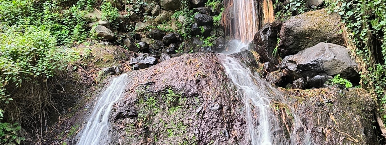
Willow-shaded ravine with a running stream, cane tunnels and a chain of waterfalls in eastern Gran Canaria
- Accessibility
- Not accessible by wheelchair. The trail follows a narrow canal, crosses the stream on stones and ends in a climb over wet rock; low branches overhang the path in places.
- Parking
- Two parking areas at the start of the trail; spaces run short when the trail is busy.
- Difficulty
- 6–7 km round trip along the ravine floor, mostly in shade. Most of it is straightforward walking with stream crossings and a narrow canal edge; the final canyon is a scramble over wet rock. Good footwear needed.
- Transport
- Nearest bus stops: La Cantera and Los Llanetes, about 1.7 km away in a straight line.
- Address
- Caserio, C. Lomo Fregenal, 9, 35217, Las Palmas, Spain
What makes it special
Water is the surprise. On an island where most ravines stand dry, a stream runs down this one, and the trail goes with it. It edges along a canal no wider than 40 cm, like a Madeiran levada in miniature, hops back and forth across the stream on stones and ducks through tunnels of cane. Willows close over the path, so most of the walk is in shade.
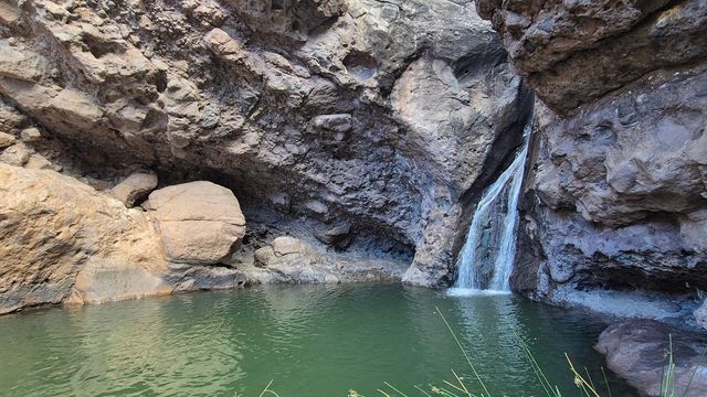
Higher up, the waterfalls come one after another, and you can climb past the first few. The trail ends in a narrow canyon where the stream slides over wet rock and there is no way on. That is the turning point, and the place to sit for a while before heading back down.
Good to know
- No toilets and no drinking water at the start or nearby. Carry enough water for the whole round trip.
- Wear shoes with grip: the trail crosses the stream several times and the upper part means climbing over wet stones.
- Low branches hang over the path in places, which makes a child in a back carrier hard work.
- Where the path splits and you are unsure, follow the water.
- There are a few picnic tables.
Getting there
Start from the parking at the head of the trail. Some hikers try to enter the ravine from other points, and those routes are impassable or dangerous. From the parking, the first 300 m run along a road that is a dead end for cars, and a guidepost marked SL-1 and an information board stand close to the start. After that the footpath takes over and follows the stream up the ravine.
The nearest bus stops, La Cantera and Los Llanetes, are about 1.7 km away in a straight line, so arriving by bus means at least that much extra walking before the trail begins.
Best time to visit
Best: a weekday, starting in the morning.
Avoid: Sundays, and days during or after heavy rain.
The shade makes this a good walk on a hot day and an early start leaves time for the slow going near the top, while on Sundays the narrow paths fill with walkers and rain turns the stream high and the rock slick.
Sun & daylight
Nearby Places
Similar Places
Los Cernicalos Ravine on the map
The last stretch is a scramble over wet, slippery rock in a narrow canyon; turn back where the climbing starts if you are not sure-footed. Stay out of the ravine in heavy rain, when the stream can rise fast.
Get directions

Your whole travel map in one place
Get inspired by new places around the world and find the ones worth the journey
Frequently asked questions
How long is the Barranco de los Cernícalos hike?
The round trip to the main waterfall is 6–7 km. It takes longer than the distance suggests, because of the stream crossings and the climbing on the upper part.Is the trail suitable for children?
The lower part is walkable with small children. The final canyon section means climbing over wet rock and is not for everyone, and low branches make a back carrier awkward.Where does the trail start?
At the parking by the SL-1 guidepost. Entering the ravine from other points leads onto ground that is impassable or dangerous.Are there toilets or drinking water?
No. There are no toilets and no drinking water at the start or nearby, so bring all the water you need.Can you get there by bus?
The nearest stops, La Cantera and Los Llanetes, are about 1.7 km from the trail in a straight line, so the bus adds a road walk at both ends.