Pico de las Nieves is a stratovolcano in the middle of Gran Canaria, rising to 1,949 m where the municipalities of Tejeda, Vega de San Mateo and San Bartolomé de Tirajana meet. It has long been counted as the island's highest peak, though neighbouring Morro de la Agujereada measures 1,956 m. A military base with a ball-shaped radar occupies most of the summit plateau; below it, a public viewing platform takes in half the island. The name, 'peak of the snows', comes from snow pits built into its slopes from 1694.
Pico de las Nieves
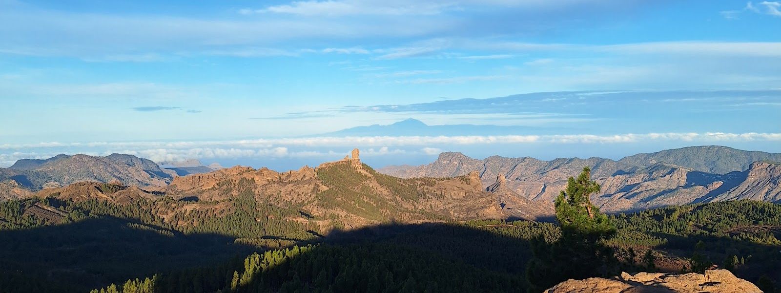
Volcanic summit at 1,949 m with a viewing platform facing Roque Nublo and Teide
- Entrance
- Free; there is no ticket for the viewpoint.
- Accessibility
- The viewpoint has no wheelchair-accessible entrance. The car park sits right beside the platform.
- Parking
- Free car park beside the viewing platform, a second free car park about 470 m away, and roadside parking further down when both are full.
- Difficulty
- Barely any walking: the road ends at a car park beside the platform. The effort is the drive up a winding mountain road.
- Transport
- Nearest bus stop: Cruz de los Llanos, about 1,850 m away in a straight line.
- Advance booking
- Not needed for the viewpoint. Stargazing trips with telescopes come up here as organised tours and are booked separately.
- Hours
- Open 24 hours.
- Address
- 35299 San Bartolomé de Tirajana, Las Palmas, Spain
What makes it special
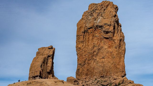
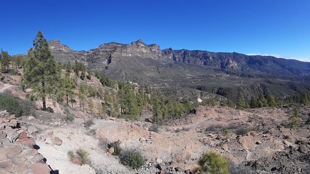
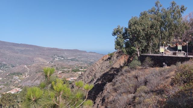
On a clear morning the platform sits above the cloud and the island falls away on every side. Roque Nublo stands up out of the ridges below, and across the sea the cone of Teide rises on Tenerife. Half of Gran Canaria is in view at once. Behind you, the army's radar sits on the summit like a giant golf ball.
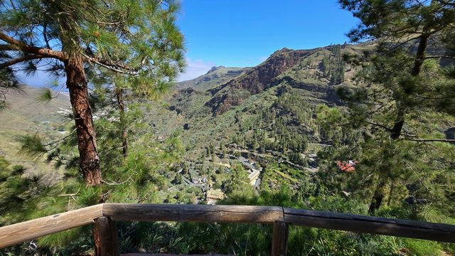
The name, 'peak of the snows', goes back to the snow trade. From 1694 labourers shovelled winter snow into covered pits on the slopes and packed it in rows between layers of straw. In June the ice went down to Las Palmas on horseback, a ride of five or six hours, to cool drinks for the upper class and bring down fevers in the yellow fever and cholera epidemics. The pines on the slopes are Canary Island pine, reintroduced in the 1950s.
After dark, with the coast lights far below, the stars come out sharp over the summit.
Good to know
- It is cold and windy at nearly 2,000 m, even when the coast is hot. Bring a warm layer.
- There are no toilets and no drinking water at the viewpoint or nearby. Come supplied.
- Cloud decides the visit: on a broken day some directions are clear and others are a white sea below you.
- The road up winds tightly along the mountainside, and drivers uneasy with heights find it hard going.
- The car park at the top gets busy, and late arrivals end up parking down the road.
Getting there
You arrive by car, on a road that twists up through the pines to the summit. A free car park sits right beside the viewing platform, and a second free one lies about 470 m away. When both are full, cars line the road further down and the last stretch is on foot along the tarmac.
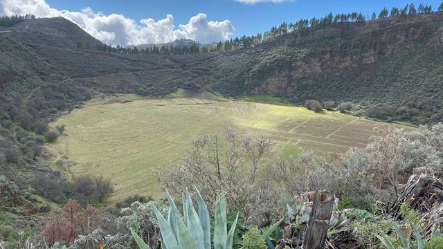
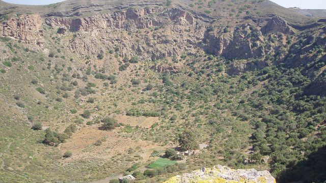
Near the top, the Caldera de los Marteles opens beside the road, a crater worth pulling over for on the way up or down.
The nearest bus stop, Cruz de los Llanos, is about 1,850 m away in a straight line, so arriving without a car leaves a walk of at least that distance to the top.
Best time to visit
Best: a cloudless day, either early in the morning before the car park fills or after dark for the stars. Avoid: days when low cloud sits on the peaks.
The whole point is the view, and on a clear day it reaches from Roque Nublo to Teide; in late afternoon the sun drops towards Tenerife, on the western horizon.
Access & restrictions
Most of the summit plateau is occupied by a military base, crowned by its ball-shaped radar, and it is closed to civilians. Visitors are allowed onto the viewing platform that sits below the base, and that platform is as high as the public goes on this peak.
Sun & daylight
Nearby Places
Similar Places
Pico de las Nieves on the map
The summit road is narrow, winding and exposed, and cloud can drop visibility on it fast; drive slowly. In winter the high road can carry ice and the summit is bitterly cold in the wind.
Get directions

Your whole travel map in one place
Get inspired by new places around the world and find the ones worth the journey
Frequently asked questions
Is Pico de las Nieves the highest point on Gran Canaria?
Traditionally yes, at 1,949 m. Morro de la Agujereada, right next to it, measures 1,956 m, which would make it the higher of the two.Can you drive to the top of Pico de las Nieves?
Yes. A road climbs to a free car park beside the viewing platform. The summit plateau above it is a military base and closed to the public.Can you see Teide from Pico de las Nieves?
In good weather, yes: Teide stands across the sea on Tenerife, and half of Gran Canaria is in view, with Roque Nublo below. Cloud can hide some or all of it.Are there toilets or water at Pico de las Nieves?
No toilets and no drinking water at the viewpoint or nearby. Bring water and plan a stop before the drive up.Why is it called the 'peak of the snows'?
From 1694 snow was packed into covered pits on its slopes and carried down to Las Palmas as ice in summer, for cooling drinks and treating fevers.