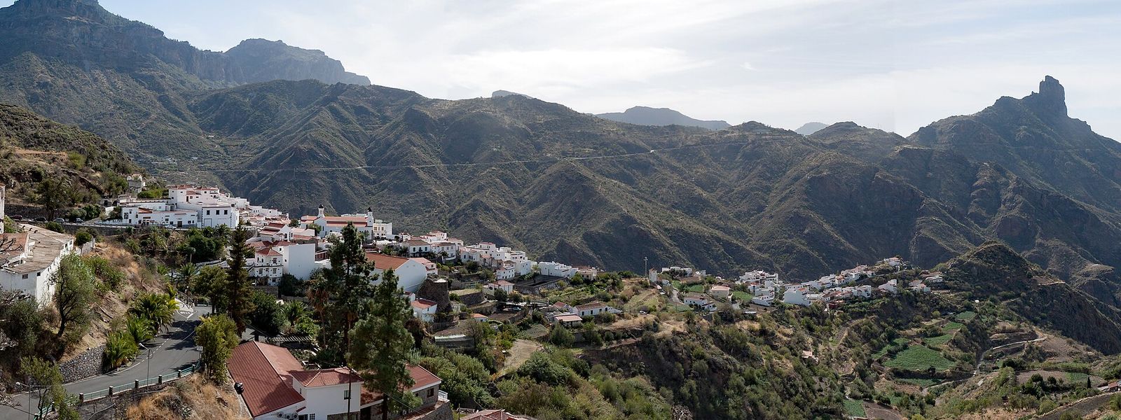
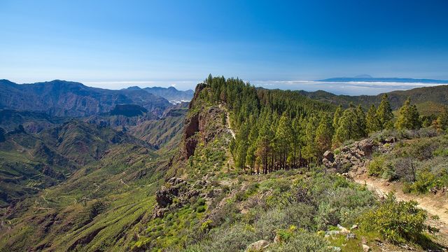
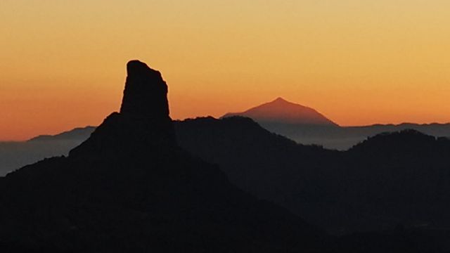
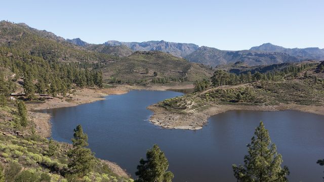
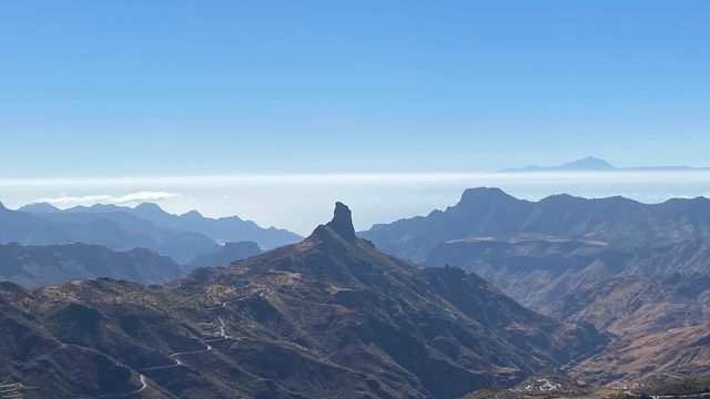
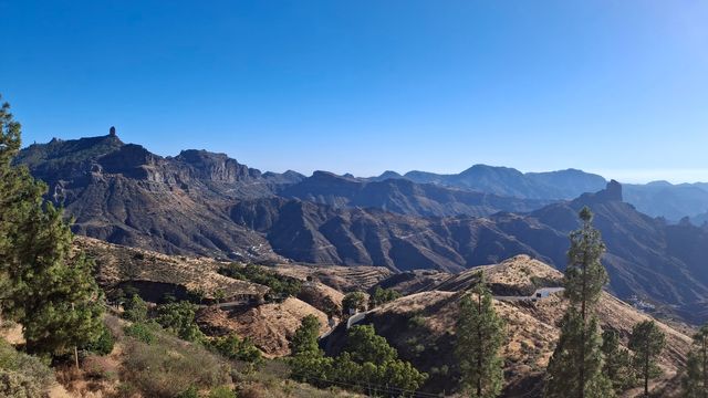
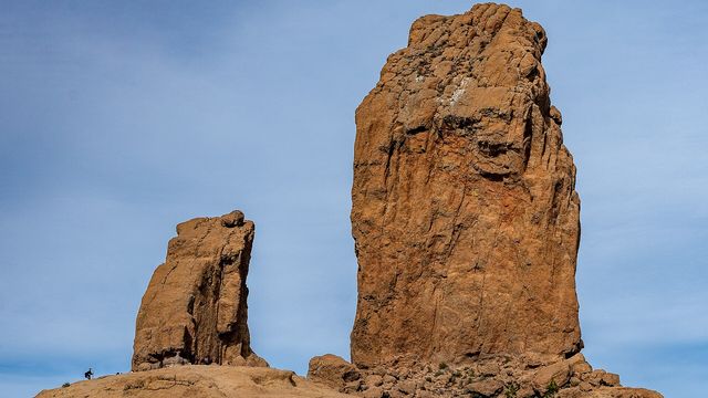
Tejeda sits at 1,050 m on the eastern rim of the Caldera de Tejeda, a collapsed volcanic basin 28 km by 18 km whose broken walls and upright rocks fill the view to the west. The municipality holds Pico de las Nieves, at 1,949 m the second-highest point on Gran Canaria, along with Roque Nublo and Roque Bentayga, the site of an ancient ritual place, an almogarén. West of Bentayga lie the cave villages of Cuevas del Rey and Acusa Seca. Travellers come for the rocks, the caves and the caldera itself.
Tejeda
- Currency
- Euro (EUR)
- Language
- Spanish; English, German in resorts
- Power plug
- Type C/F, 230 V
- Visa
- Schengen
- Time zone
- UTC+0 / UTC+1 (WET/WEST)
- Tap water
- Safe; mineral taste in the south
- Tipping
- Not expected; 5–10% for great service
- Emergency
- 112
Things to do
All tours in Tejeda on GetYourGuide
Paid links: booking through them supports YowJourney.
When to go
Low season
Dec – Feb
At over 1,000 m winter nights turn cold, cloud can settle on the caldera rim and frost is possible on the highest ground, so bring warm layers.
High season
Mar – Jun
Spring brings the mildest walking weather in the mountains, with slopes still green from the winter rain and long, clear days over the caldera.
Shoulder
Jul – Nov
Summer days are hot and the exposed ridges give little shade, so start walks early; the heat eases as autumn comes in.
How long to stay
One day covers the village and one of the big rocks. Two to three days give you Roque Nublo, Roque Bentayga and the cave villages of Cuevas del Rey and Acusa Seca without rushing, and a chance to see the caldera in both morning and evening light, when the walls throw long shadows across the basin.
What to see
Destinations in Tejeda
Frequently asked questions
Where exactly is Tejeda?
In the mountainous centre of Gran Canaria. The village lies 6 km north-west of Pico de las Nieves and 23 km south-west of the island capital, Las Palmas, at 1,050 m above sea level.What is the Caldera de Tejeda?
A huge volcanic basin, 28 km by 18 km, formed when the island's old magma chambers blew out and the ground collapsed. Only half of its perimeter still stands. The eruption produced ignimbrite, a pink rock dotted with white crystals, found around the outside of the caldera.Which sights lie within the municipality?
Pico de las Nieves, the second-highest point on Gran Canaria at 1,949 m; Roque Nublo; Roque Bentayga with its almogarén, an ancient ritual place; the cave village and granaries of Cuevas del Rey, 1 km west of Bentayga; and the cave village of Acusa Seca, 2 km further west. All of these are listed as Bien de Interés Cultural, Spain's heritage protection.