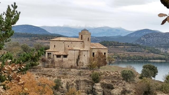
The Hermitage of San Emeterio and San Celedonio is a hermitage church in the municipality of La Fueva, in the Huesca province of Aragon, northern Spain. It stands on high ground above cliffs, reached by the climb up at Samitiers, and a second hermitage and a castle stand in the same view. The draw is what surrounds it: mountain ranges across the horizon, a reservoir in the background, isolated lakes off to the sides, and a large anticline folded into the rock of the cliffs below.
Hermitage of San Emeterio and San Celedonio
Local name: Ermita de San Emeterio y San Celedonio
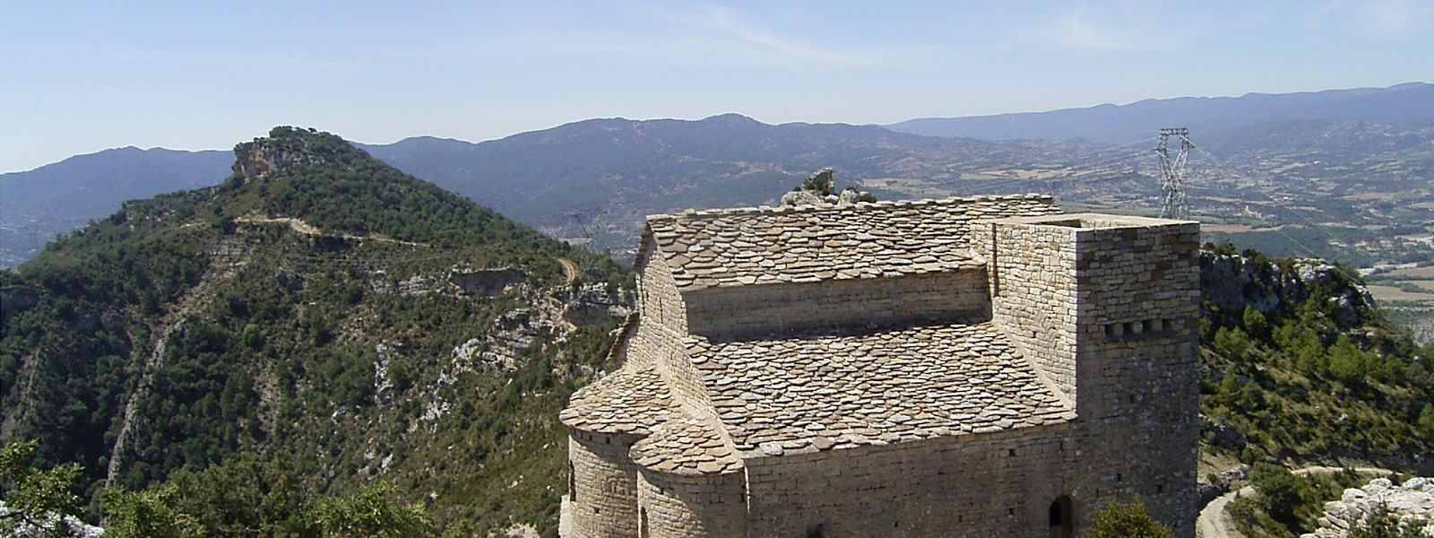
Hermitage church on the cliffs above a reservoir, with a castle and a second hermitage in the same view.
- Accessibility
- Reached only on foot by an uphill climb from the car park about 950 m away; no step-free approach.
- Parking
- Two car parks: the nearer one about 950 m away in a straight line, free and open to all; a second about 1.8 km out.
- Difficulty
- An uphill climb on foot from the car park about 950 m away — an easy one, with the outing running to about two and a half hours.
- Transport
- Nearest marked stop about 1.4 km away in a straight line; no route is listed for it.
- Advance booking
- No booking needed.
- Hours
- Open at any hour, every day.
- Address
- La Fueva, 22394, Huesca, Spain
What makes it special
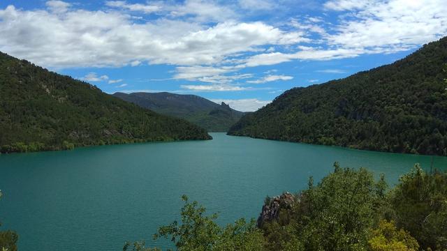
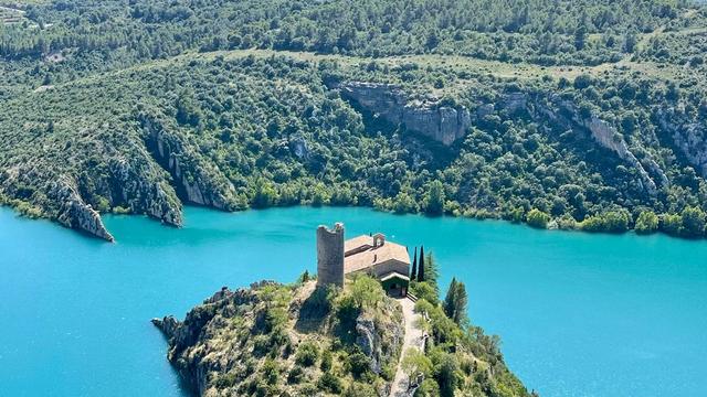
The view does the work here. The ground falls away to a reservoir, the mountain ranges stack up behind it, and isolated lakes sit off to the sides; the two hermitages and the castle line up in one frame, which is the picture most people leave with. Then there are the cliffs themselves — the rock beds are bent into a large anticline, a fold you can trace across the face with your eye. The climb up is an easy one, and as a family outing the whole trip runs to about two and a half hours.
Good to know
- No water, no toilets: there is nothing of the kind within 800 m of the hermitage, so carry what you need for the climb up and back.
- The walk is the visit: the nearest car park sits about 950 m away in a straight line, and everything past it is uphill on foot.
- Allow the time: as a family outing the trip runs to about two and a half hours, though the climb itself is an easy one.
- An information board stands within about 60 m of the hermitage.
Getting there
The driving ends well below the church. The nearest car park sits about 950 m from the hermitage in a straight line, with a second one about 1.8 km out, and the rest is on foot: the climb at Samitiers, uphill the whole way but an easy one, with the view opening wider as you gain height. An information board stands within about 60 m of the hermitage, so you can get your bearings on the ranges and the reservoir once you are up.
Best time to visit
Best: a clear day. The climb pays off in what you can see from the top — the ranges, the reservoir below, the fold in the cliffs — and cloud or haze empties all of it out.
Avoid: starting late. The way up is a climb with no lighting on it, the outing can run to two and a half hours there and back, and the ground at the top sits above cliffs.
Sun & daylight
Nearby Places
Similar Places
Hermitage of San Emeterio and San Celedonio on the map
The hermitage stands above cliffs and the edges are unfenced. Keep well back from the drop and keep children in hand near the top.
Get directions

Your whole travel map in one place
Get inspired by new places around the world and find the ones worth the journey
Frequently asked questions
Is there a walk in, or can you drive to the door?
There is a walk. The nearest car park lies about 950 m away in a straight line and the rest is the uphill climb at Samitiers — an easy one, with the whole outing running to about two and a half hours.What can you see from the hermitage?
Mountain ranges across the horizon, a reservoir in the background and isolated lakes off to the sides, with a second hermitage and a castle in the same view. The cliffs below carry a large anticline.Are there toilets or drinking water?
No. Nothing of the kind stands within 800 m of the hermitage, so bring water for the climb up and back.Can you get there by public transport?
The nearest marked stop sits about 1.4 km away in a straight line, and no route is listed for it. In practice the site is reached by car and then on foot.