Levada do Caniçal is an irrigation channel in the municipality of Machico, in eastern Madeira, whose maintenance path serves as a walking trail. It runs for about 12 km along the hillsides above Machico, past cultivated plots and thick stands of invasive acacia, with views over the town and the coast. The path has no tunnels and is easy walking, though rocky in places. It lies outside Madeira's network of classified PR trails.
Levada do Caniçal (Machico)
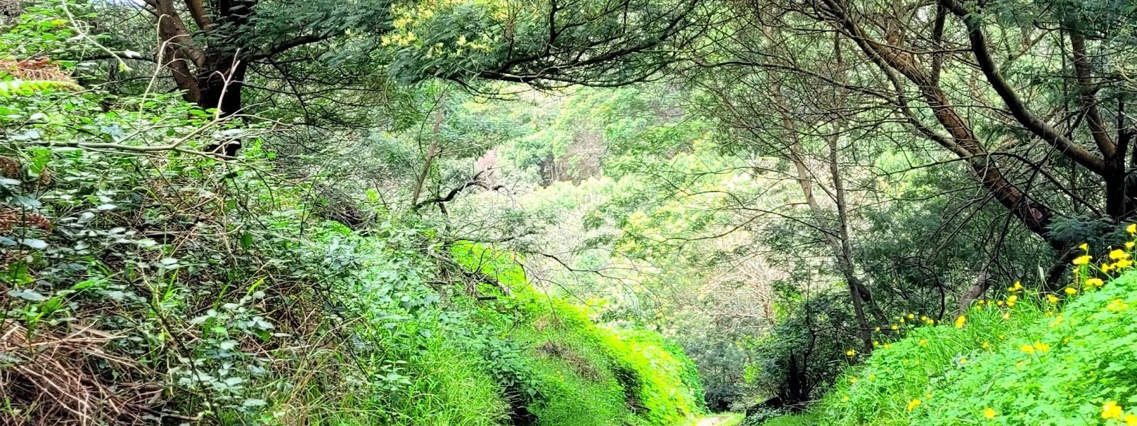
Easy levada path in the hills above Machico, with views to the coast and no tunnels.
- Entrance
- Free; there is no ticket.
- Accessibility
- Not suitable for wheelchairs: neither the parking nor the trail has wheelchair access, and the path is rocky in places.
- Parking
- Two car parks nearby: one about 150 m away in a straight line, and a free one about 650 m away.
- Difficulty
- Easy walking along the levada with no tunnels; the path is rocky in places. It is out-and-back, so the return doubles whatever distance you cover. The unsigned climb to Boca do Risco makes it a much longer day.
- Transport
- A bus shelter stands about 10 m away in a straight line.
- Advance booking
- No booking needed.
- Hours
- Open at any time.
What makes it special
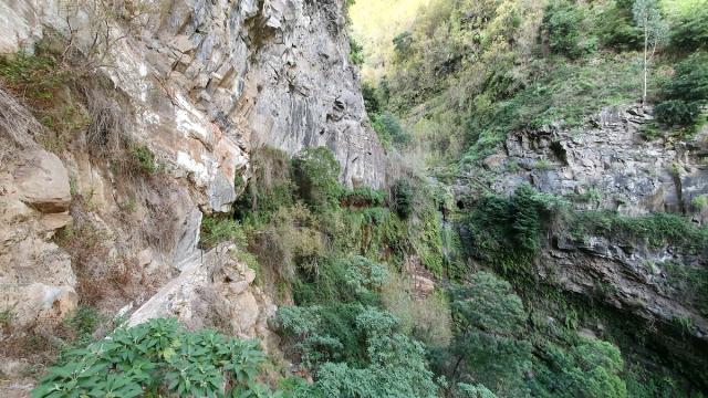
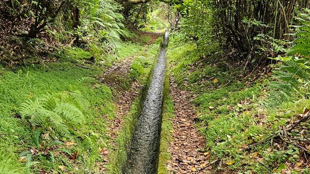
Below the path, farmers work their plots by hand, and beyond them Machico and its bay sit far down the valley towards the coast. The Levada do Caniçal follows its water channel along the hillside with no tunnels to pass through. The walking is easy, so your attention stays on the view and on the plants along the edge.
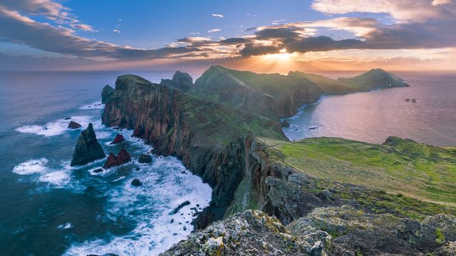
Acacia grows thickly beside the trail: this is Australian wattle, which has spread across these slopes and crowds out native species. The route sits outside Madeira's classified PR trails, and it is quiet, with the few people on it mostly locals. If you want more, you can climb from the levada to Boca do Risco, a notch in the cliffs of the north coast.
Good to know
- Plan it as an out-and-back walk: you return along the same path, so every kilometre out is one more on the way back.
- The full levada is about 12 km. Turning round after 3.5 or 6 km still gives you the views over Machico.
- The path up to Boca do Risco has no signs. Carry a map or a GPS track before you leave the levada.
- The path is rocky in places, so wear proper walking shoes.
- A free public fountain (Fontanário do Paraíso) is about 35 m away. The nearest toilets are about 730 m away in a straight line.
Getting there
The Levada do Caniçal lies in the hills above Machico, at the eastern end of Madeira. Two car parks sit near the trail, about 150 m and 650 m away in a straight line, and a bus shelter stands about 10 m away. From there you walk the levada path for as far as you choose, then turn round and come back the same way. The climb to Boca do Risco branches upwards from the levada and has no signs.
Best time to visit
Best: a clear morning, when Machico and the coast are sharp in the distance and the sun is not yet high.
Avoid: the hours after heavy rain, when the rocky sections turn slippery.
The view down to the bay is the reason to walk here, and low cloud or haze takes it away.
Sun & daylight
Nearby Places
Similar Places


Levada do Caniçal (Machico) on the map
The climb from the levada to Boca do Risco has no signs, and at the top the north-coast cliffs drop away unfenced. Carry a map or track and keep well back from the edge.
Get directions
Your whole travel map in one place
Get inspired by new places around the world and find the ones worth the journey
Frequently asked questions
Is the Levada do Caniçal one of Madeira's classified PR trails?
No. It lies outside the classified PR network, and there is no ticket to walk it.How long is the Levada do Caniçal walk?
The levada runs about 12 km, and you walk back along the same path. You can turn round wherever you like: 3.5 or 6 km out still takes in the views over Machico.Are there tunnels on the Levada do Caniçal?
No. The route has no tunnels and is easy walking, though the path is rocky in places.Can you reach Boca do Risco from the Levada do Caniçal?
Yes, by climbing up from the levada, but the way has no signs. It makes a long day, because you then have to walk all the way back.