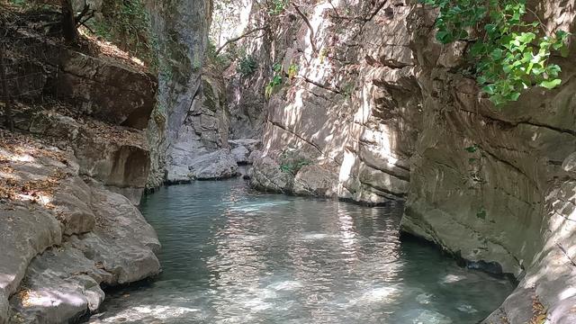
Los Bolos Waterfall is a waterfall in the municipality of Dúrcal, in the province of Granada, Andalusia. It is reached by a walking route that follows a Mozarabic irrigation channel and then the river upstream, with much of the way spent in the water. The final section passes several pools before ending at a large waterfall. The route is a popular hot-weather outing and is suitable for children and dogs.
Los Bolos Waterfall
Local name: Cascada de los Bolos
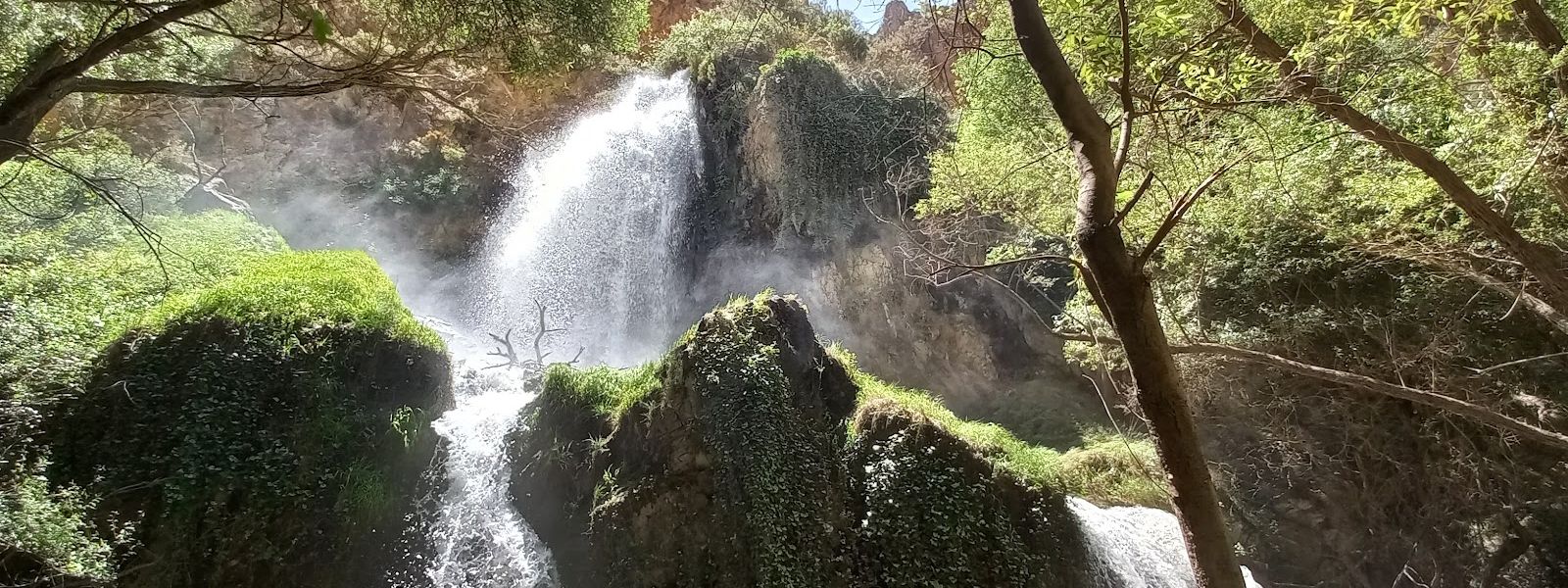
Waterfall in Dúrcal with a string of pools, reached by wading up a Mozarabic irrigation channel
- Entrance
- Free; there is no ticket.
- Accessibility
- Not wheelchair accessible: the route wades through water and climbs uphill sections, and neither the parking nor the entrance is wheelchair-accessible.
- Parking
- Free car park about 2.5 km away in a straight line; another car park about 3.4 km away. Parking near the high school in Dúrcal is also an option. About a 15-minute walk from parking to the trailhead.
- Difficulty
- About 15 minutes on foot from parking to the trailhead, then more than an hour wading upstream through an irrigation channel and the river, with some uphill sections and sparse signage. Suitable for children.
- Transport
- Nearest bus stop: Marchena, about 3.3 km away in a straight line.
- Advance booking
- No booking needed.
- Hours
- Open at all times. It is an open-air route, so plan to finish in daylight.
- Address
- 18650 Dúrcal, Granada, Spain
What makes it special
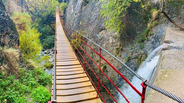
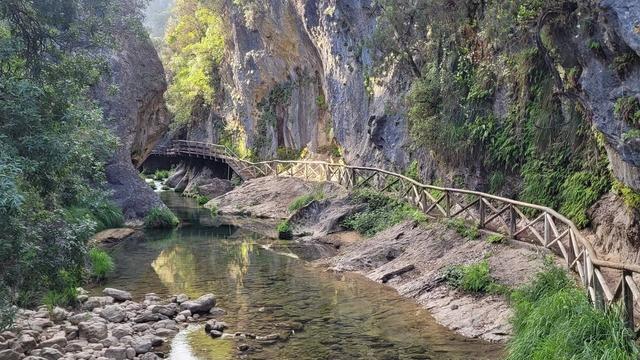
Your feet are wet from the first steps and stay that way for more than an hour. The route wades upstream along a Mozarabic irrigation channel, then through the river itself, and on a hot day the water underfoot is the whole point. Children take to it from the very start.
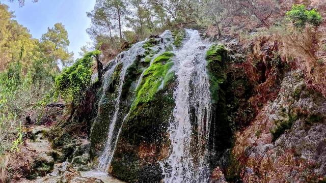
The best of it comes last. The final section opens into several pools and ends at a large waterfall, the reward for all that splashing. Even in mid-July the channel still carries plenty of water.
Good to know
- Wear shoes and clothes that can get wet, and leave a dry change in the car.
- Signage along the route is sparse; carry a map or a downloaded track.
- The water sometimes runs murky and muddy, which makes the falls hard to reach. Check recent photos before you go.
- Dogs manage the route, but small ones may need carrying on the uphill sections.
- There are no toilets and no drinking water at the falls, and none nearby. Fill up before you set out, and take your rubbish home.
Getting there
The nearest car park sits about 2.5 km from the falls in a straight line, and you can also leave the car near the high school in Dúrcal. From parking to the trailhead is about a 15-minute walk.
From there the route follows the irrigation channel and then the river upstream: more than an hour of wading, with some uphill sections, before the pools and the waterfall come into view. Signage is sparse, so keep a map to hand.
The nearest bus stop, Marchena, is about 3.3 km away in a straight line.
Best time to visit
Best: a hot summer day, on a weekday if you can.
Avoid: cold weather, and days when the water runs high or muddy.
The whole walk is spent in water, which is a relief in summer heat and a slog in the cold, and murky water turns the approach to the falls into hard going.
Sun & daylight
Nearby Places
Similar Places
Featured in our guides

Los Bolos Waterfall on the map
The route runs through moving water over wet rock that slips underfoot. Take each step slowly in the river, and turn back if the water is running high or muddy.
Get directions

Your whole travel map in one place
Get inspired by new places around the world and find the ones worth the journey
Frequently asked questions
How long is the walk to Los Bolos Waterfall?
About 15 minutes from parking to the trailhead, then more than an hour wading upstream along the irrigation channel and the river to the falls.Will I get wet?
Yes. Most of the route is spent with your feet in the water. Wear shoes and clothes that can get wet, and leave dry clothes in the car.Is the route suitable for children and dogs?
Yes, for both. Small dogs may need carrying on the uphill sections.Is there still water in summer?
Yes. Even in mid-July the channel carries plenty of water. Its condition varies, though: at times it runs murky and muddy, which makes the waterfall hard to reach.Is the route signposted?
Signage is sparse. Carry a map or a downloaded track.