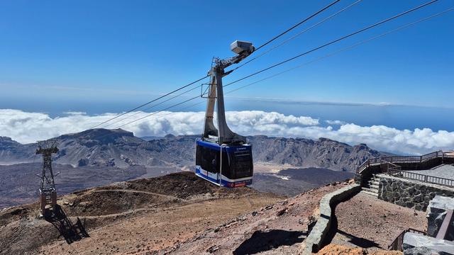
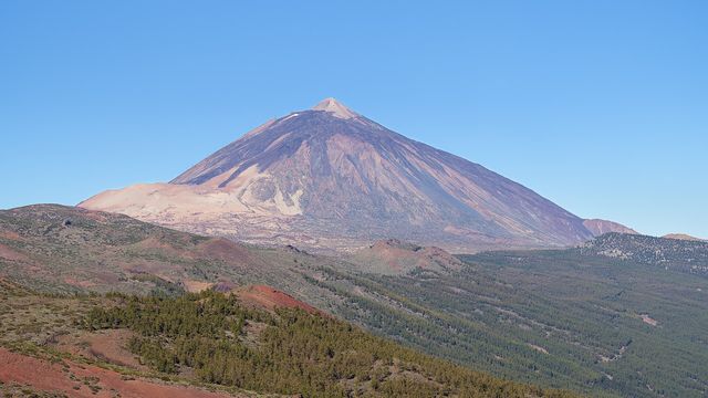
The Montaña Blanca Trail climbs Mount Teide, the highest peak in Spain, from the road through Teide National Park in the municipality of La Orotava on Tenerife. It sets off across the pale pumice of Montaña Blanca, then zigzags up past the Altavista refuge to the top station of the cable car, where the final stretch to the crater begins. The climb to the summit takes four to six hours, and permits are required for the upper sections.
Montana Blanca Trail
High-altitude trail over pale pumice slopes to the summit of Teide, with permits for the upper sections.
- Entrance
- Permits required: one for the section from about halfway up to the cable car top station, a separate one for the summit.
- Accessibility
- No wheelchair access. A long, steep mountain trail at high altitude, unsuitable for anyone with limited mobility.
- Parking
- Paved parking area at the start of the trail; free car park at the Mirador de Tabonal Negro, about 750 m away in a straight line. The cable car station car park is another option, followed by a walk along the road.
- Difficulty
- Technically easy and well marked, with no climbing, but long and steep: a gentle first hour, then steep ground to the cable car top station and again below the summit. Four to six hours up; the air thins above 3,000 m.
- Transport
- Bus to the Montaña Blanca stop, at the start of the trail.
- Advance booking
- Yes: book the permits for the upper sections and the summit before you go.
- Hours
- Open 24 hours.
- Address
- 38300 La Orotava, Santa Cruz de Tenerife, Spain
What makes it special
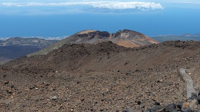
The ground changes colour as you climb. The first stretch crosses the pale pumice of Montaña Blanca, scattered with round dark lava boulders known as Teide's Eggs (Huevos del Teide). Higher up, the path switches back and forth over black volcanic rock, and near the top the air smells of sulphur from the vents around the crater.
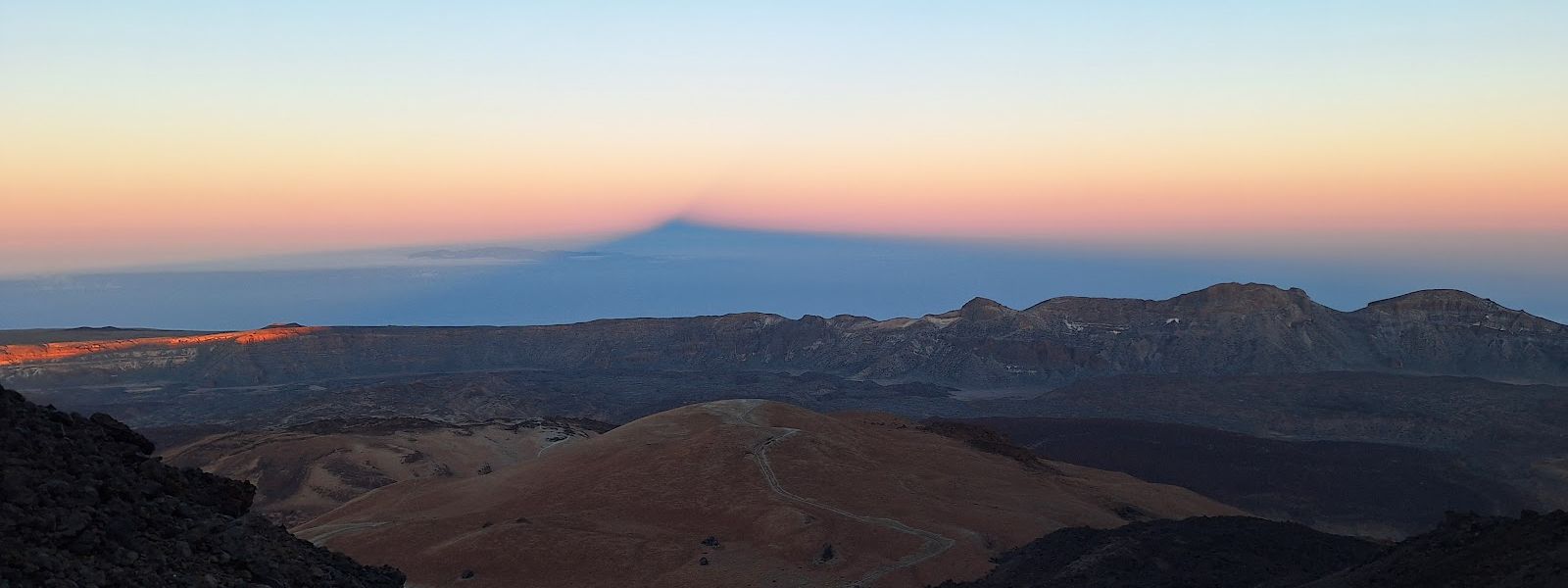
The trail is well marked and needs no climbing, so the summit of Spain's highest mountain is within reach of a fit walker who paces the thin air. From the top the island falls away on every side, and at sunrise Teide throws its shadow out across the clouds and the sea.
Good to know
- Permits: one covers the stretch from about halfway up to the cable car top station, another the summit. Rangers check them on the trail.
- Kit gets checked: rangers can send walkers without proper equipment back down. Bring warm layers and good shoes, even when the coast is hot.
- Thin air: above 3,000 m dizziness and headaches come on if you go fast. Keep a slow, steady pace.
- No water or toilets at the start or nearby. Carry what you need for four to six hours of climbing.
- Parked car: leave nothing inside it while you walk.
Getting there
The trail starts beside the road that crosses Teide National Park. The Montaña Blanca bus stop and a guidepost stand together at the start, with a paved parking area next to them. The free car park at the Mirador de Tabonal Negro is about 750 m away in a straight line. Another option is to leave the car at the cable car station and walk or hitch a lift along the road to the start.
From there everything is on foot. The first hour or so runs at an easy gradient across the pumice; after that the path turns steep for one to two hours up to the cable car top station, and steepens again on the last section below the summit.
Best time to visit
Best: an early start, or a night walk that reaches the top for sunrise; the trail is open at all hours.
Avoid: winter, when snow and ice can cover the upper slopes, and the middle of the day on the exposed lower track.
The pumice slopes offer no shade, while up high the night temperature can fall below 10 °C and bring drizzle even when the coast is sweltering.
Access & restrictions
The trail lies inside Teide National Park, and rangers patrol it. They check permits for the upper sections and the summit, make sure walkers stay on the marked path, and can send anyone without proper equipment back down. Keep to the trail the whole way, on the way up and on the descent.
Sun & daylight
Nearby Places
Similar Places

Montana Blanca Trail on the map
Above 3,000 m the thin air brings dizziness and headaches: climb slowly and turn back if they get worse. The weather at altitude turns cold and wet fast, and in winter snow and ice cover the upper trail.
Get directions
Your whole travel map in one place
Get inspired by new places around the world and find the ones worth the journey
Frequently asked questions
How long does it take to climb Teide by the Montaña Blanca Trail?
Four to six hours up to the peak. The first hour is gentle; the steep part follows, up to the cable car top station and again below the summit.Do I need a permit?
Yes. One permit covers the section from about halfway up to the cable car top station, and a separate one is needed for the summit. Book them before you go: rangers check them on the trail.Is the trail technically difficult?
The trail is well marked and involves no climbing, and good shoes are enough underfoot. The effort comes from the long steep stretches and the thin air above 3,000 m.What should I bring?
Warm, waterproof layers, good shoes, and all the water you need: there is none at the start or nearby. Rangers can turn back walkers who are not properly equipped.Where can I park?
There is a paved parking area at the start, and a free car park at the Mirador de Tabonal Negro about 750 m away in a straight line. Leave nothing in the car.