Puig de l'Ofre is a mountain of 1,093 metres in the municipality of Escorca, in the Serra de Tramuntana range of northwest Mallorca. Its trails climb through pine forest and past old lime kilns to a summit that looks out over the coast and two large reservoirs in the valley below. Walkers reach it from Sóller and Biniaraix, or from the Cúber reservoir.
Puig de l'Ofre
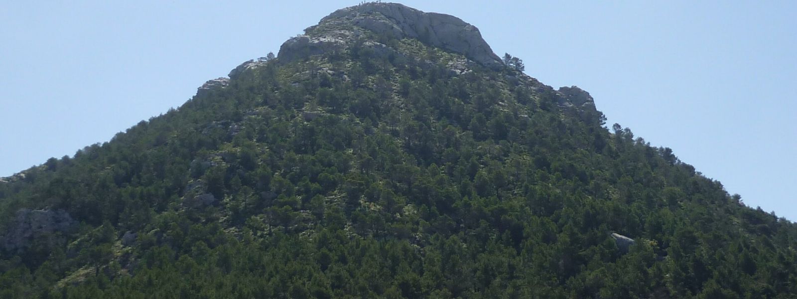
Pointed 1,093 m peak in the Serra de Tramuntana, climbed on trails past pine woods and old lime kilns
- Accessibility
- Reached only on foot by mountain trail, with a slippery, awkward final climb; not suitable for wheelchairs or visitors with limited mobility.
- Parking
- The nearest car parks lie about 2.8 km and 3 km from the summit in a straight line.
- Difficulty
- A mountain hike to 1,093 m. The last stretch is poorly marked, with only cairns to follow, and the final 100 m can be slippery and hard to climb. Good shoes and plenty of water are essential.
- Transport
- The nearest stops are Fornalutx and Orient, about 3.1 km and 3.3 km from the summit in a straight line.
- Address
- Puig de l'Ofre, 07315, Illes Balears, Spain
What makes it special
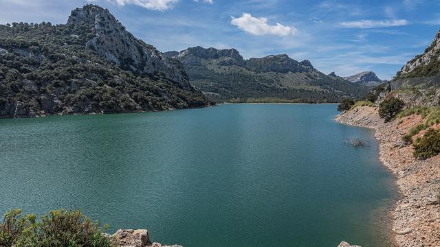
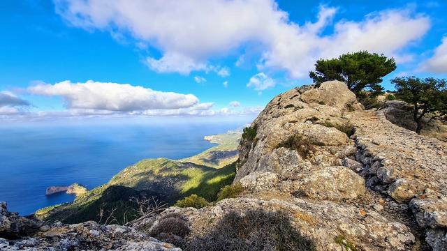
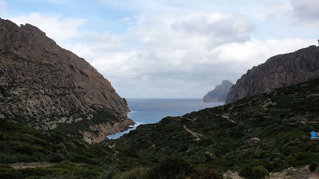
From the top the island opens out around you: the coast in one direction, two large reservoirs lying in the valley below, and on a clear day most of Mallorca laid out to the horizon.
The climb earns its share of the day. The trail winds up through pine forest and passes the round stone lime kilns where limestone was once burnt for mortar and whitewash, a trace of the people who worked these slopes. One route makes a full traverse of it: up from the Cúber reservoir, over the summit, then down through Biniaraix and on into Sóller.
Good to know
- The final stretch to the summit is poorly marked. Small stone cairns show the way but are easy to miss, so carry a trail map.
- The last 100 m can be slippery and awkward to climb; wear shoes with good grip.
- There are no toilets or drinking water near the summit. Carry plenty of water from the start.
- The Cúber to Sóller route is one-way, so work out how you will get back before you set off.
Getting there
The summit is reached on foot. Trails come up from Sóller and Biniaraix, and from the Cúber reservoir; walkers also link the two, climbing from Cúber and descending through Biniaraix into Sóller.
The nearest car parks sit about 2.8 km and 3 km from the peak in a straight line, and the nearest stops, at Fornalutx and Orient, lie about 3.1 km and 3.3 km away. The distance on the trail is longer than that. Guideposts stand on the paths within about 700 m of the summit, but the final section is marked only by cairns.
Best time to visit
Best: spring and autumn, on a clear, dry day, setting off early.
Avoid: midsummer middays, the days after rain, and winter spells of snow or ice on the tops.
There is no water near the summit and the open upper slopes give little shade in summer heat, wet rock makes the slippery final climb harder, and only a clear day delivers the view across the island.
Sun & daylight
Nearby Places


Similar Places
Puig de l'Ofre on the map
The final climb is slippery and the upper path is marked only by cairns, which are easy to lose in cloud. Wear shoes with good grip and turn back if mist hides the way.
Get directions
Your whole travel map in one place
Get inspired by new places around the world and find the ones worth the journey
Frequently asked questions
How high is Puig de l'Ofre?
The summit stands at 1,093 metres.Where does the hike to Puig de l'Ofre start?
Routes start from Sóller, from Biniaraix and from the Cúber reservoir. One popular line climbs from Cúber, crosses the summit and descends through Biniaraix to Sóller.Is the trail well marked?
Guideposts stand on the lower paths, but the last stretch to the top is poorly marked and relies on small stone cairns that are easy to miss. Bring a trail map.What can you see from the summit?
The coast, two large reservoirs in the valley below, and on a clear day most of Mallorca.Is there water or a toilet on the way?
There are no toilets or drinking water near the summit. Carry plenty of water and wear good shoes.