Tamadaba Natural Park covers about 75 km² in the north-west of Gran Canaria, across the municipalities of Agaete, Artenara and La Aldea de San Nicolás. It was declared a natural park in 1987, and since 2019 part of it has fallen within the UNESCO World Heritage cultural landscape of Risco Caído and the Sacred Mountains. It holds one of the best-preserved natural pine forests on the island and more than 200 plant species, six of them found nowhere else.
Tamadaba Natural Park
Local name: Parque Natural de Tamadaba
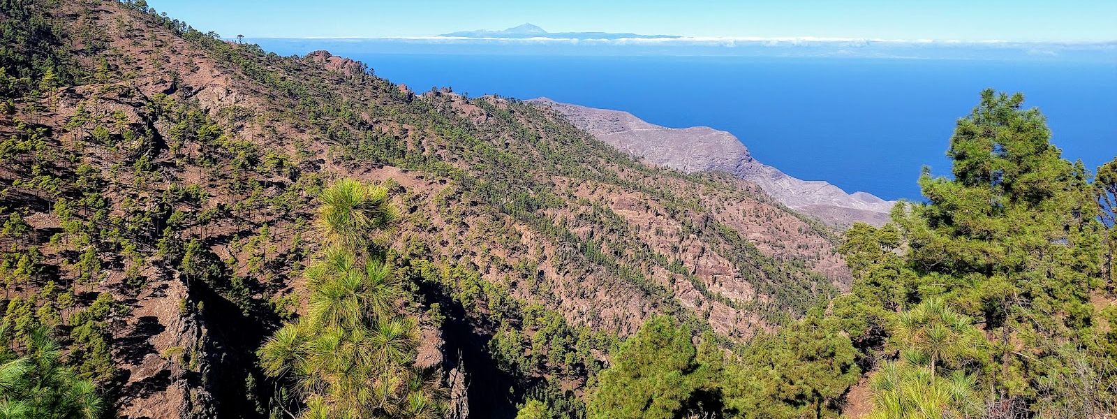
Protected pine forest on the north-west heights of Gran Canaria, with deep ravines and sea cliffs below.
- Entrance
- Free; there is no ticket.
- Accessibility
- No wheelchair-accessible entrance; the park is explored on mountain trails.
- Parking
- Two mapped car parks, about 1.2 km and 1.8 km away in a straight line.
- Difficulty
- Mountain hiking on trails with unfenced edges; the heights can be windy and cloudy. Wear proper walking shoes. A 2 km trail is manageable for children.
- Transport
- Nearest bus stop: Ceip El Risco, in El Risco.
- Advance booking
- No booking is needed to visit the park.
- Hours
- Open at all times.
- Address
- Agaete, Las Palmas, Spain
What makes it special
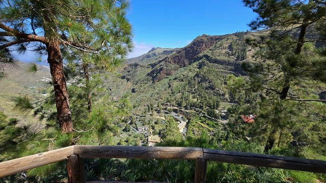
The road climbs out of bare volcanic ground and into pine forest, and the air changes with it: cooler, resin-scented, with cloud often drifting between the trunks. It feels like a different island.
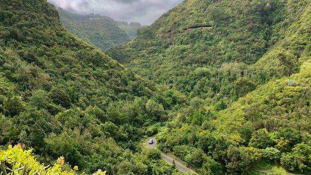
The north-facing slopes catch the moisture of the trade winds, and the pines there grow over an undergrowth of tree heath, Canary holly and scraps of laurel forest. This humid pine forest is the only one of its kind in the Canaries. Gran Canaria's blue chaffinch and its own great spotted woodpecker nest in the pines, and buzzards, kestrels and peregrines work the air above the canopy.
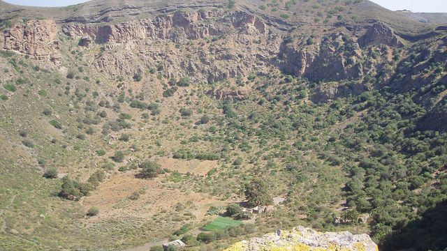
At the edges the plateau breaks into escarpments and ravines that drop towards the Atlantic. On the cliffs of Guayedra grow plants found only here, and the giant Gran Canaria lizard suns itself on the lower, drier slopes among palms and cardón spurge.
Good to know
- Signal: mobile coverage is weak or missing across much of the park. Download your trail maps before you set out.
- Weather on top: the heights get windy and cloudy. Bring warm layers and proper walking shoes, and check the forecast.
- Supplies: carry enough water and food for the whole walk.
- Dead end: the old coast road past Mirador del Balcón is closed 5 km beyond the viewpoint, so you drive back the way you came.
- Dogs are allowed in the park.
Getting there
Most visitors come by car. The roads are mostly in good condition, with some tight spots on the bends. On the coastal side, the old road runs past Mirador del Balcón, where the cliffs fall straight to the sea; it is closed 5 km beyond the viewpoint, and the drive to the end of the road is still worth it.
The nearest mapped car parks lie about 1.2 km and 1.8 km away in a straight line. Buses stop at Ceip El Risco, in the village of El Risco on the park's coastal side. From the car, the rest is on foot along the hiking trails.
Best time to visit
Best: a clear day, staying on for sunset over the sea to the west.
Avoid: days when cloud and wind settle on the heights.
The trade winds that keep the pine forest green also push cloud over the ridge, which hides the views and turns the air cold; at sunset the viewing platform gets crowded, and quieter spots lie along the road.
Access & restrictions
Tamadaba is a protected natural park and a special protection area for birds, and part of it lies within a UNESCO World Heritage site. Six of its plant species grow nowhere else in the world, most of them on the cliffs. Keep to the paths, leave plants, fungi and stones where they are, and never light a fire in the pine forest.
Sun & daylight
Nearby Places

Similar Places
Tamadaba Natural Park on the map
The park is cut by escarpments and deep ravines, and the edges along the trails are unfenced. Cloud can close in on the heights: keep to the path and turn back when fog hides the ground ahead.
Get directions

Your whole travel map in one place
Get inspired by new places around the world and find the ones worth the journey
Frequently asked questions
Do you pay to enter Tamadaba Natural Park?
No. There is no ticket, and the park is open at any hour.Is Tamadaba suitable for children?
Yes. One of the trails is 2 km long and climbs to a high viewpoint, a walk children manage and enjoy. Keep them close near the unfenced edges.Is there phone signal in the park?
Coverage is weak or missing across much of the park. Download trail maps and check the weather before you leave.Can I bring my dog?
Yes, dogs are allowed.Where is the best place to watch the sunset?
The viewing platform gets crowded at sunset. Quieter spots lie along the road on the way there.