Arnarstapi Harbour lies at the foot of basalt cliffs on the southern side of the Snæfellsnes Peninsula, in West Iceland. It is a small harbour rather than a resort: a quay, boats, picnic tables, and the swell breaking on black rock just beyond. Most people come for the coast, not the port. The path to Hellnar starts here and runs about 2.5 km along the cliff top, past sea arches, stacks and seabird ledges.
Arnarstapi Harbour
Local name: Höfnin á Arnarstapa
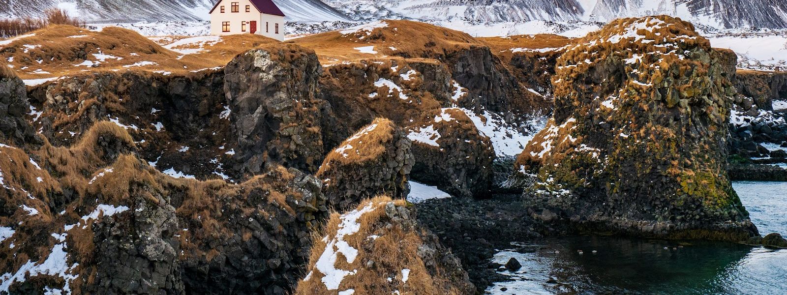
Down on the quay there are picnic tables, so you can eat lunch with the cliffs and the surf in front of you.
- Entrance
- Free. No ticket and no gate.
- Accessibility
- Wheelchair-accessible parking spaces at the car park by the harbour.
- Parking
- Free car parks about 100 m from the harbour, by the stone bridge. Free street parking as well.
- Difficulty
- The coast path to Hellnar runs about 2.5 km one way from the harbour. The quay lies below the car park, so the visit starts with a walk down.
- Transport
- Nearest bus stop: Arnarstapi, about 800 m from the harbour. The Hellnar stop is about 2.5 km away.
- Hours
- Open 24 hours, every day.
- Address
- Arnarstapavegur, 356 Arnarstapi
What makes it special
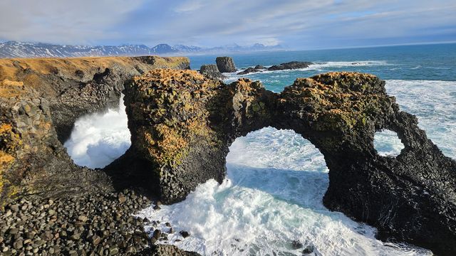
The harbour is cut into black lava at the foot of the cliffs, and it is a small one — a quay, boats, rock on both sides. What makes it worth the stop is the coast around it. Eroded stacks and arches stand offshore, the swell works into hollows in the rock, and the cliff walls are used by nesting seabirds. Picnic tables stand down at the port, above the water, which is why people who planned a photo stop end up eating lunch here. The coast path to Hellnar starts at the harbour as well, so the place doubles as a trailhead and as a viewpoint.
Good to know
- Toilets: none at the harbour. The nearest are about 750 m away and charged; another one close by is for customers only.
- Water: no drinking-water point is recorded around the harbour. Fill your bottles before you come.
- Exposure: the quay is open to the Atlantic. Wind and spray come straight in, so bring a windproof layer even on a clear day.
- Information boards: boards stand near the harbour. Read them before you start along the coast path.
Getting there
Almost everyone arrives by car. The car parks sit close to the harbour, by the stone bridge, and the rest is on foot: the port lies below the level of the car park, so you walk down to the quay. Buses stop up in the village, not at the harbour. The other way in is the coast path from Hellnar, which reaches the harbour from the west.
Sun & daylight
Nearby Places
Similar Places



Featured in our guides
Arnarstapi Harbour on the map
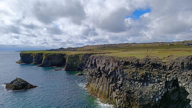
The path runs along the top of sea cliffs, and the swell breaks on black rock directly below. Keep back from the edge: turf above a sea cliff can overhang the drop.
Get directions

Your whole travel map in one place
Get inspired by new places around the world and find the ones worth the journey
Frequently asked questions
What is there to see at Arnarstapi Harbour?
A small harbour set in black lava, with eroded stacks and arches offshore and cliffs on either side. Picnic tables stand down at the port, and information boards are set up nearby.Where does the coast path from the harbour go?
West along the cliff top to Hellnar, past arches and rock formations. The harbour is the trailhead, and you can turn back at any point.Is Arnarstapi Harbour suitable for children?
Yes, with the cliffs as the caveat. The ground is open and the picnic tables give somewhere to stop, but the drop to the sea runs close to the path.