Snæfellsnes peninsula: a 2-day itinerary (Iceland in miniature)
11 min read11 destinations
West Iceland · Iceland
Snæfellsnes is a roughly 90-km peninsula reaching off West Iceland into the Atlantic, capped by the Snæfellsjökull glacier-volcano at its tip — compact enough that the whole loop genuinely fits into two days. This itinerary drives it as a loop: Day 1 takes the south coast out to the glacier's tip, Day 2 comes back along the north shore through Grundarfjörður and Stykkishólmur.
Paid links: booking through them supports YowJourney.
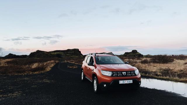
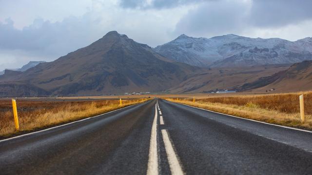
Three things to sort before you leave Reykjavík. The road: Route 54 and the coastal 574 that ring the peninsula are paved almost the entire way, and there is no F-road on this route — unlike Iceland's highland interior, an ordinary 2WD rental copes fine outside storm days (the one exception is the last stretch out to Svörtuloft lighthouse, which turns to bumpy gravel). The cave: book the Vatnshellir lava cave tour online before you go — it's the only way in, and summer slots sell out. And the light: West Iceland gets roughly 4–5 hours of daylight around the December solstice, which turns this two-day, 20-plus-stop itinerary into an unrealistic one outside May–September — plan to cut hard or spread it over three days.
Day 1 — the south coast to Snæfellsjökull's tip
From Reykjavík, it's about an hour to Borgarnes via the Hvalfjörður tunnel, then another 30–40 minutes on Route 54 to Vegamót, where the peninsula properly begins. If you've got 90 minutes to spare, Eldborg is a near-perfectly symmetrical spatter crater from a 5,000–8,000-year-old eruption, reached via a signed turn to Snorrastaðir farm — the walk to the rim and back is about 6 km and 1.5 hours, with free parking. A few minutes further, Landbrotalaug is the opposite of a tourist attraction: a wild hot pool barely big enough for two people, no changing hut, no sign beyond a small marker — bring a towel and low expectations of privacy if someone else finds it first. Both are easy to skip if you're behind schedule.
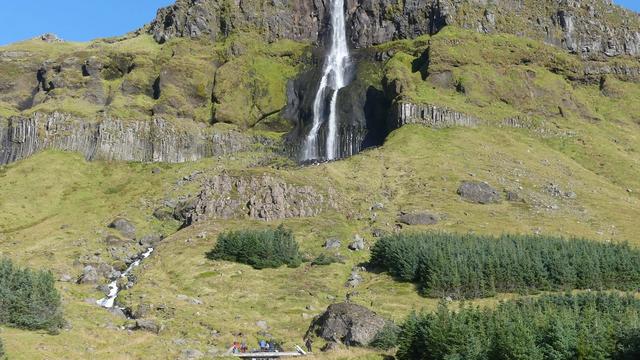
The south coast road itself starts earning its keep past Vegamót. Ytri Tunga is Iceland's most reliable seal-watching beach — common and grey seals haul out on the rocks at low tide, so time your stop against the tide table if you can, and bring binoculars rather than expecting to walk up close. A little further on, Lýsuhólslaug's warm spring is unusual for Iceland in being genuinely mineral-rich rather than just geothermal — greenish, algae-tinted water instead of the usual clear blue. Then Búðir: a jet-black wooden church standing alone against green fields and ocean (Búðakirkja, rebuilt in 1987 after decades as a ruin), with Bjarnarfoss's two-tier drop over basalt a couple of kilometres inland — worth the short walk to the lower viewpoint even if you don't go further up.
The south coast proper


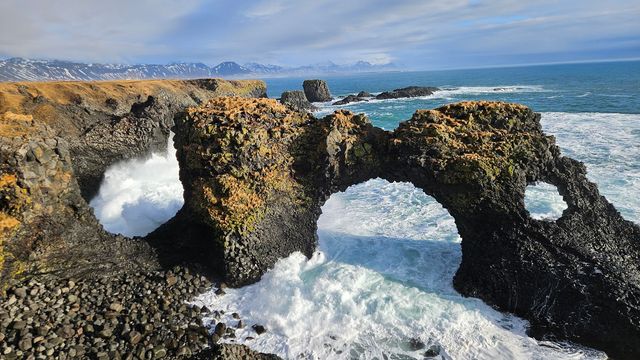
Arnarstapi, the fishing hamlet where most people base a coffee stop, sits at the foot of Snæfellsjökull itself and is the trailhead for the coastal path to Hellnar — about 2.5 km one-way over columnar basalt, sea arches and nesting cliffs (kittiwakes and fulmars in summer). Walking the full there-and-back is close to two hours; if you're short on time, the first 20 minutes out from Arnarstapi past the Gatklettur arch covers the best of it.

Rauðfeldsgjá, a narrow, mossy gorge you can walk into a short way (expect wet feet) — one of ten stops in our guide to Iceland's best canyons — and Sönghellir, a small cave famous for an echo that turns a whisper into a chorus — and for two centuries of visitors' initials carved into its walls — both sit just off the road nearby and add maybe half an hour each.
Off the coastal path

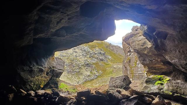
Vatnshellir is the only lava cave on the peninsula you can actually go inside, and the only way in is a guided, 45-minute tour (Summit Adventure Guides, the sole operator, ISK 5,900 for an adult, running year-round with fewer departures in winter) — book online rather than showing up, since exact times only appear in their booking system and summer slots go fast. A spiral staircase drops 35 metres into an 8,000-year-old tube with lava stalactites and a "chocolate" mineral sheen on the walls; helmets and headlamps are provided, but bring warm layers and shoes with grip — it sits just above freezing down there in any season.

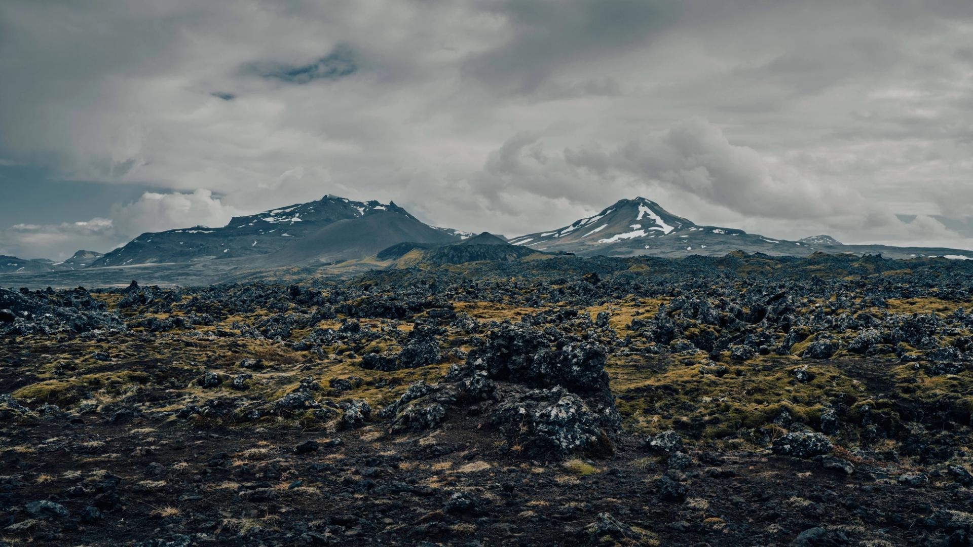
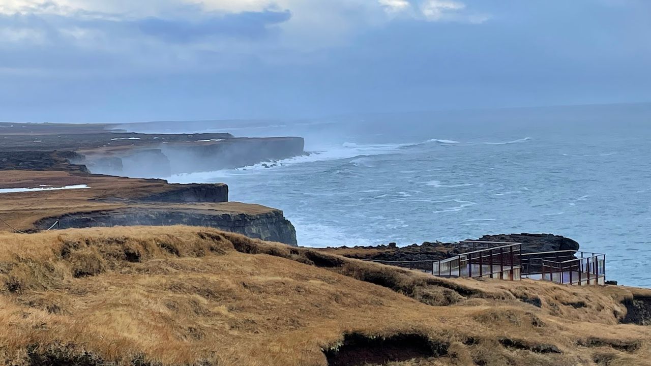
From Vatnshellir it's a few minutes to Londrangar, two basalt sea stacks — 75 m and 61 m — that are the eroded remains of an old crater, and Malarrif, a 24-metre lighthouse standing alone in the lava field that's said to have inspired the scenery in Jules Verne's Journey to the Center of the Earth. Both are five-minute pull-offs on the same short loop.
Londrangar View Point
The viewing platform faces the two basalt towers head-on — the remains of an old volcanic crater that centuries of Atlantic surf have stripped down to its hardest core, with the lava field running straight into the sea around them. Local lore holds the stacks are home to Iceland's hidden people, which is as good an explanation as any for how otherworldly they look from the rail.
End the day at Djúpalónssandur, a black pebble beach reached down a short path through a lava maze — it made our list of Iceland's black-sand beaches too, if you want to see how it compares with the South Coast's better-known ones. Rusted fragments of the trawler Epine, wrecked here in a 1948 blizzard with 14 lives lost and five survivors, are still scattered on the sand. Near the path down, four lifting stones — Fullsterkur (154 kg), Hálfsterkur (100 kg), Hálfdrættingur (54 kg) and Amlóði (23 kg) — were once used to test which fishermen were strong enough to be hired onto a boat crew; try Amlóði before you try to look impressive.

That's roughly 220–230 km of driving from Reykjavík with all of the above included — a full but doable summer day if you leave by 9 a.m.; in winter light, keep to Arnarstapi, Vatnshellir and Djúpalónssandur and let the rest go. Sleep in Hellissandur, Ólafsvík or Grundarfjörður to start Day 2 close to the action rather than driving back out.
Things to do in West Iceland
Paid links: booking through them supports YowJourney.
Day 2 — the north coast back through Grundarfjörður and Stykkishólmur
Start early if you want Svörtuloft to yourself. The road is paved as far as Skarðsvík — a small cove of pale gold sand and turquoise water that stands out hard against the black lava around it, and the site of a Viking-age burial find — then turns to a bumpy, narrow gravel track for the last 3 km to the lighthouse; a 4x4 isn't strictly required but is a lot more comfortable, and the road gets genuinely muddy after rain. Budget 30–40 minutes for the round trip from the paved road.
Svortuloft Lighthouse
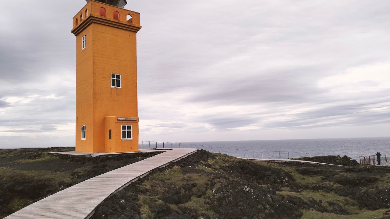
The bright-red tower stands right on the lip of black basalt cliffs that drop sheer into the Atlantic — that colour clash against dark rock and open water is what everyone drives the gravel for, and it has made the lighthouse one of the peninsula's signature images. From the end of the track a short maintained path leads out to it and the cliff edge.
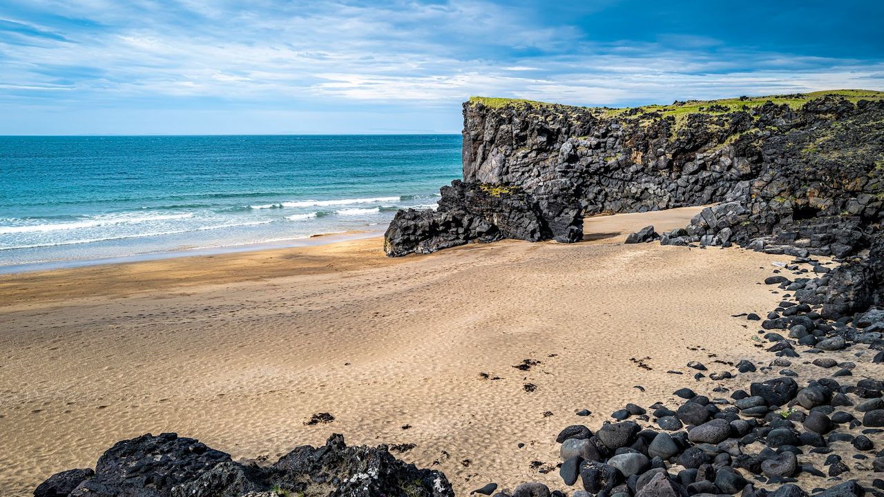
Skardsvik Beach
Up close the cove feels almost Mediterranean — until you register the black lava hemming it in on every side. The basalt cliffs take some of the wind off the sand, but the surf stays powerful and unpredictable: treat it as a stop for a walk and photographs, not a swim, however inviting the turquoise shallows look.
Saxhóll is the easiest crater climb on the peninsula — and a good introduction to the Icelandic craters you can actually walk up to: an iron staircase — 160 m long, almost 400 steps, and a well-regarded piece of design — takes you up a 3,000-year-old scoria cone in about ten minutes, no hiking gear needed, for a view over the Neshraun lava field to the coast on one side and Snæfellsjökull on the other.

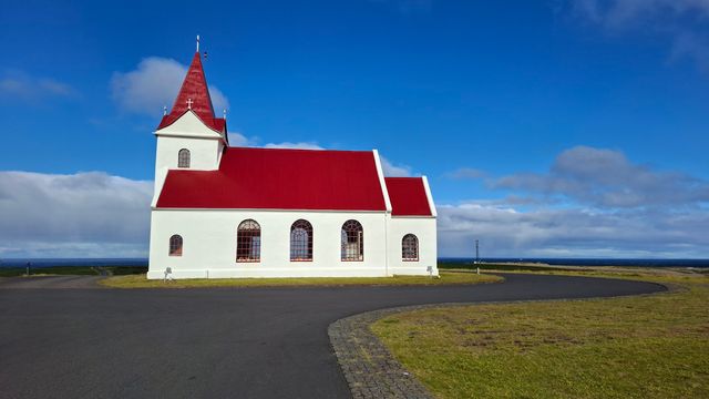
Ingjaldshólskirkja, on a hill above Hellissandur at the end of a straight lupine-lined road, is often cited as one of the oldest concrete churches in the world (built 1903) — and, per an unverified but persistent local legend, the place where Christopher Columbus wintered in 1477 while researching old Norse sailing routes; there's a painting of the story inside, and no proof beyond it. Ten minutes on, Ólafsvík has two waterfalls worth the short walk: Bæjarfoss drops right behind the town centre (5–10 minutes on foot from Ólafsvíkurkirkja), and Svöðufoss, a broader fall over a basalt ledge, sits a few minutes further out. Skip Kerlingarfoss and Klukkufoss unless you're a completionist — they're the same idea, smaller.
Hellissandur to Ólafsvík

Bulandshöfði, a high headland between Ólafsvík and Grundarfjörður with visibly layered lava and sedimentary rock, is the last big pull-off before Kirkjufell comes into view — and then it comes into view fast.
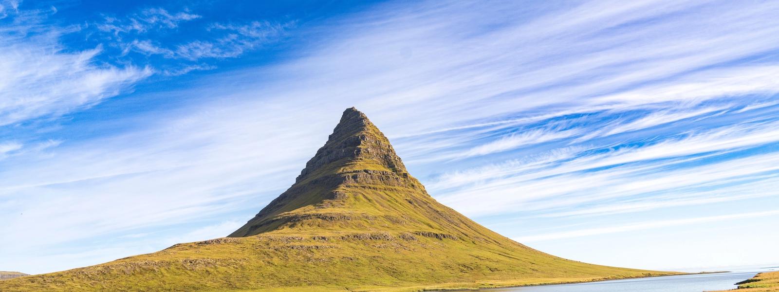
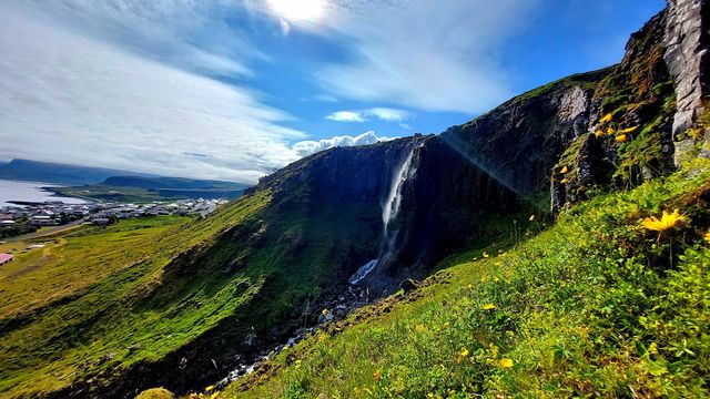
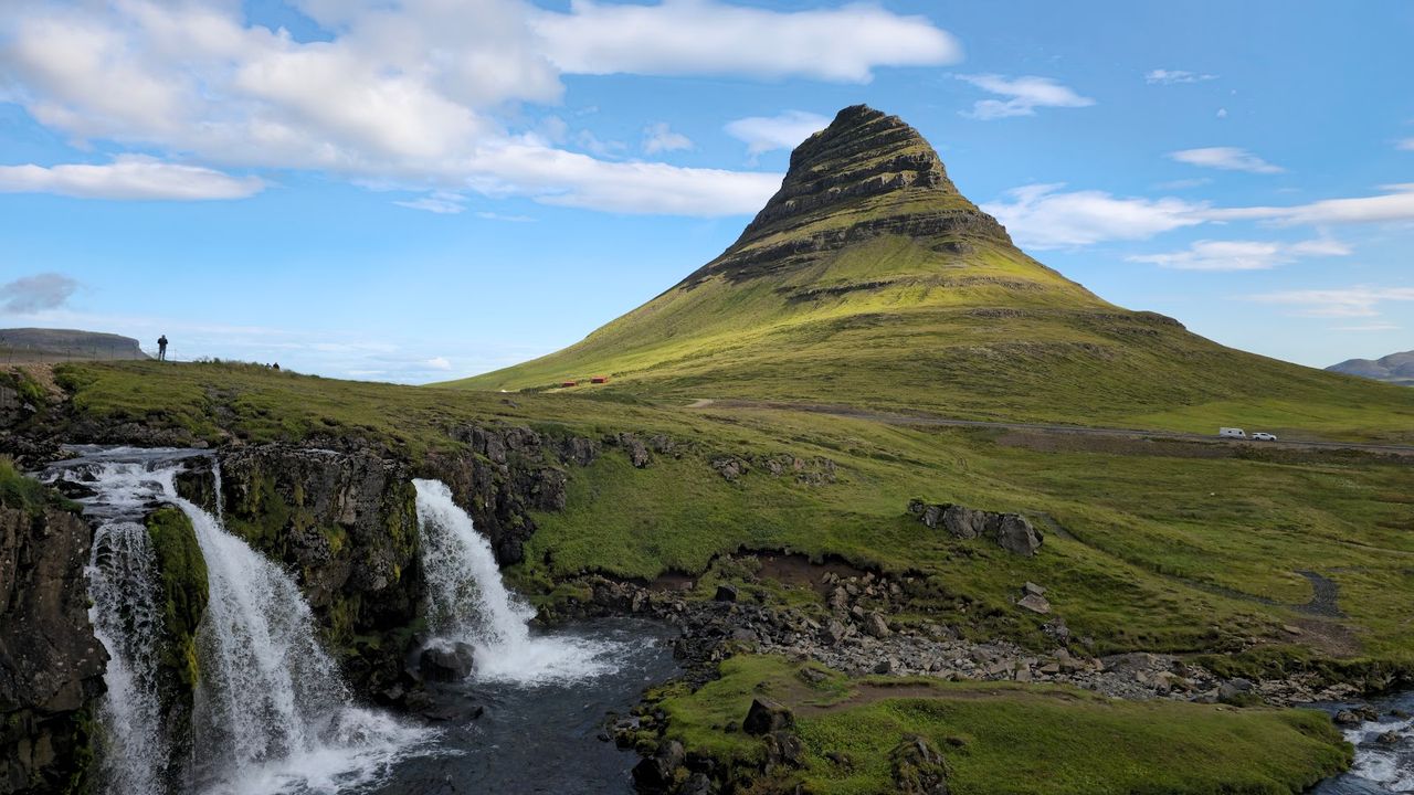
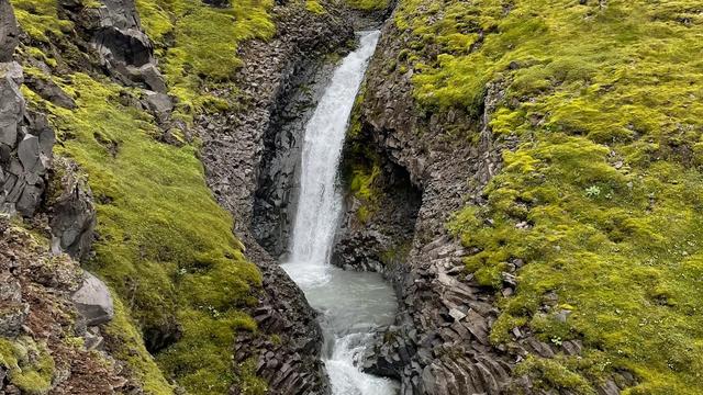
Kirkjufell, the 463 m former nunatak that Wikipedia and pretty much everyone else calls Iceland's most photographed mountain, lines up with Kirkjufellsfoss's small cascades for the shot you've already seen a hundred times; the free car park by the falls fills early on clear summer evenings. If you'd rather skip the crowd, Grundarfoss — a 70 m drop reached by an easy, flat 1.5 km trail (about 40 minutes round trip) just outside town — gets a fraction of the visitors for a taller waterfall.

Grundarfoss Waterfall
The water comes down as a single narrow ribbon over a cliff of stacked volcanic layers — that's what gives the fall its column-like profile in photos. A marked path through the valley brings you close to the base, near enough to catch the spray, and the valley stays quiet even when the Kirkjufell car park down the road is overflowing.
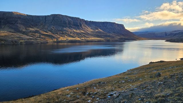
Kolgrafarfjörður looks impossibly calm from the bridge-dam on the way to Stykkishólmur, but it has a dark backstory: a causeway built across the fjord in 2004 cut off water circulation, and in the winter of 2012–2013 roughly 50,000 tonnes of herring suffocated here — the die-off drew so many white-tailed eagles and seals to feed that bird numbers in the fjord are still around 25 times higher than before.
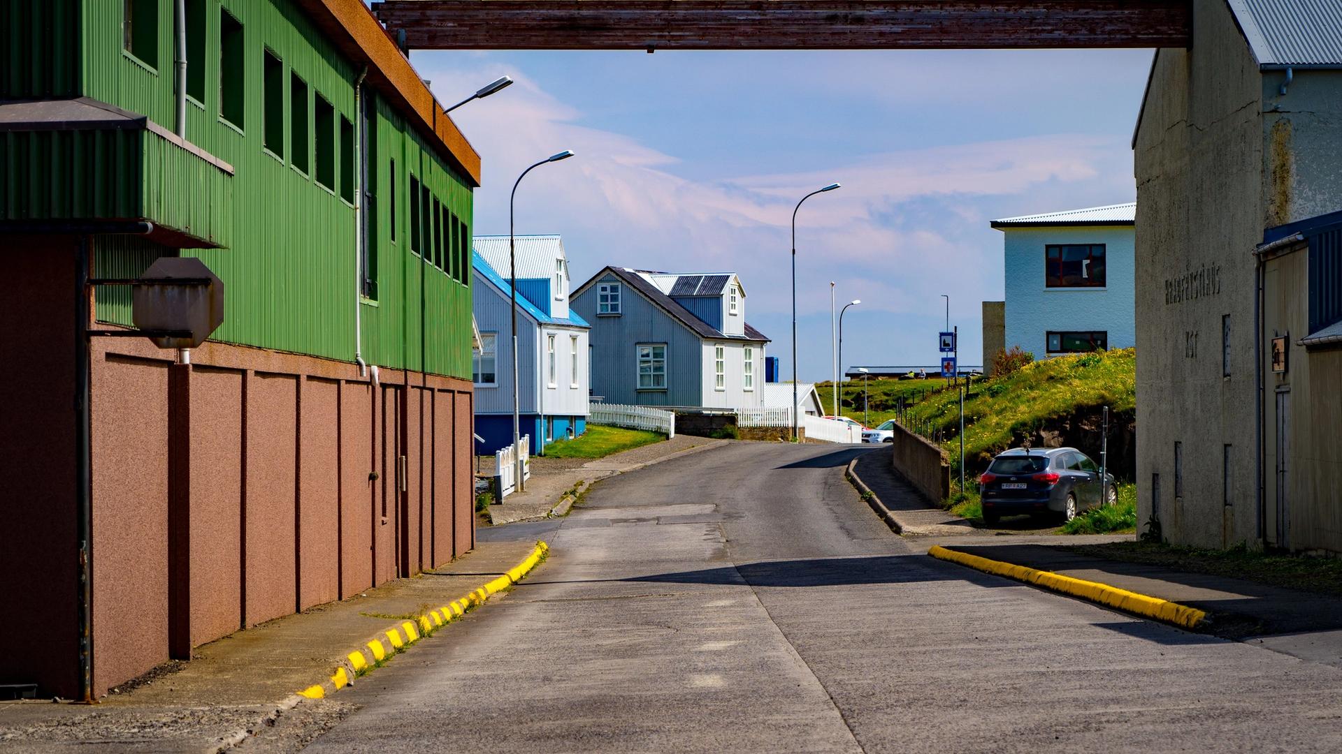
Stykkishólmur itself, 20 minutes on, is worth the detour: a compact, colourful 19th-century harbour town that doubled as Nuuk, Greenland in The Secret Life of Walter Mitty, and — together with Snæfellsnes's other municipalities — the first area in Europe to earn EarthCheck's sustainable-destination certification. Climb the short path up Sugandisey islet (its lighthouse dates to 1948, its lantern salvaged from the old Grótta lighthouse near Reykjavík) for a view over the Breiðafjörður islands.


Sugandisey Island Light Beacon
The basalt islet is what makes Stykkishólmur's harbour work: it blocks the open fjord, and the causeway out to it doubles as the breakwater. A short path with steps climbs from the harbour to the squat red beacon on top — the reward is Breiðafjörður scattered with islands all the way to the mountains on the far shore.
Back at sea level, leave half an hour for the harbour quarter itself. Stykkishólmur has been a trading port since the 16th century, and the colourful Danish-style wooden houses around the old centre are that era's most visible legacy — fishing boats tied up in front, Sugandisey's basalt wall rising behind.
From Stykkishólmur it's about 170 km and 2.5 hours back to Reykjavík via Route 54; if you'd rather not retrace the whole north coast, the Vatnaleið pass (Route 56, opened 2001, fully paved) cuts straight across the peninsula's spine between three highland lakes back to Route 54 near Vegamót — Selvallafoss, a modest waterfall by Selvallavatn lake, sits right on that shortcut. If you've got a third day or just want fewer stops per hour, the ones below are all real, just not essential: Kerlingarfoss and Klukkufoss (two more small waterfalls near Ólafsvík), Álftafjörður's viewpoint near the peninsula's base, and the half-submerged Stykkishólmur shipwreck a short drive east of town.
Also real, just not essential



Two days is enough to see why people call this peninsula Iceland in miniature — glacier, lava, fjords, black sand and gold sand, all inside one paved loop you can drive in an ordinary rental car. The stop list above is deliberately long, because most of it costs five or ten minutes, not an hour, and it's easy to cut on the day if the weather or your patience runs out. If you only remember three things: book Vatnshellir before you leave Reykjavík, check road.is on the morning of both days between November and April, and don't try to fit all 20-odd stops into a four-hour December window — the rest of the plan takes care of itself.