Chinijo Archipelago Natural Park covers the islets of La Graciosa, Alegranza, Montaña Clara, Roque del Este and Roque del Oeste, together with part of northern Lanzarote, in the Canary Islands. Declared in 1986, the park spans 91.12 km² and overlaps with a marine reserve that is one of the largest in Europe. The islands are volcanic, formed around 10 million years ago, and belong to the municipality of Teguise. La Graciosa is the largest and the only one inhabited. The name comes from chinijo, a local word for "small".
Chinijo Archipelago Natural Park
Local name: Parque Natural del Archipiélago Chinijo
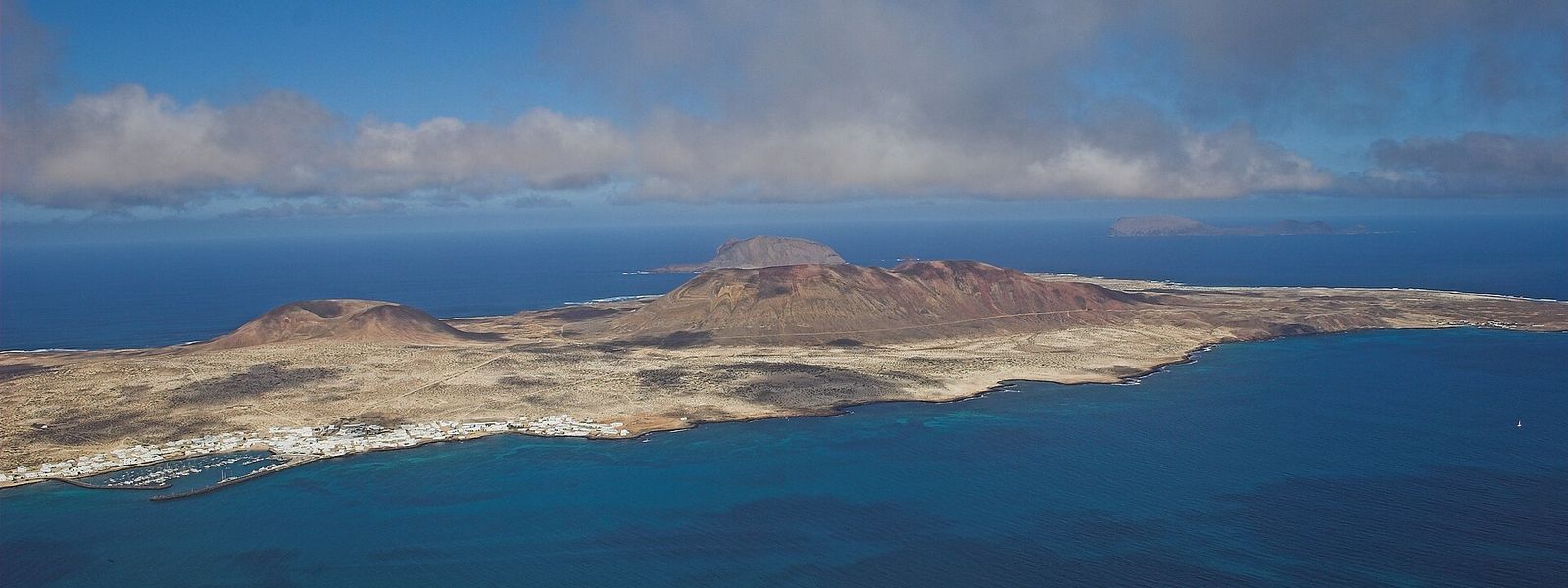
Protected volcanic archipelago north of Lanzarote, five islets with La Graciosa the only one inhabited
- Transport
- Regular ferries to La Graciosa; the other islets have no ferry service.
- Address
- Chinijo Archipelago, Las Palmas, Spain
What makes it special
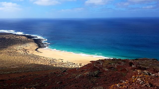
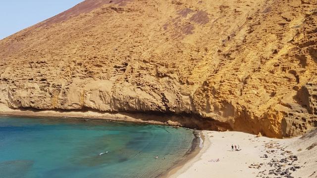
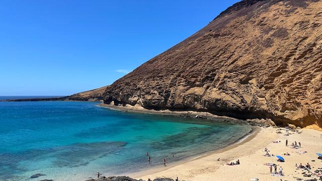
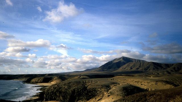
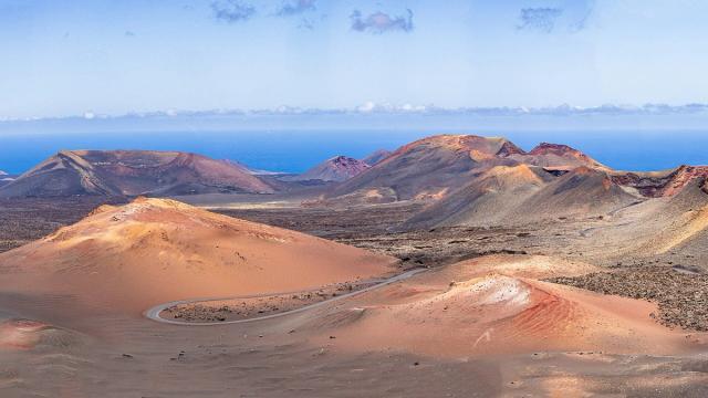
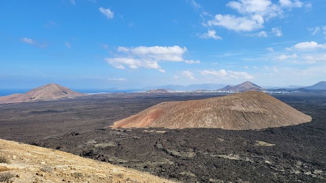
Five volcanic islands lie off the northern tip of Lanzarote, and only one of them has people on it. La Graciosa, the largest, is the one you can walk: sandy beaches broken by dark volcanic rock, cones and craters rising behind them, low shrubs and succulents scattered over the ground. People come for the quiet, and for the beach and the sun.
The other four stay out of reach. Alegranza, Montaña Clara, Roque del Este and Roque del Oeste are closed to landing, left to the seabirds and to the sea around them, which belongs to one of the largest marine reserves in Europe. Even the name is modest: chinijo is the local word for "small".
Good to know
- La Graciosa is the only island with people on it and the only one you can step onto, so plan the day around the ferry there and back.
- The land is bare volcanic ground with scattered shrubs and little shade: bring sun protection and water.
- Every island sits in open Atlantic water, and a windy day makes the crossing rougher.
- The sea around the islands is a marine reserve, protected along with the land.
Getting there
The approach is by sea. Regular ferries cross to La Graciosa, the largest island and the only inhabited one, and that crossing is the way into the islands of the park. Alegranza, Montaña Clara, Roque del Este and Roque del Oeste have no ferry: only small fishing boats go out to them, and landing is prohibited. Part of the park also lies on the northern edge of Lanzarote itself.
Best time to visit
Best: a calm, clear day, with the morning on the beaches.
Avoid: the middle of a summer day on open ground, and days of strong wind.
The islands are bare volcanic land with little shade, and every crossing goes over open Atlantic water that turns rough when the wind gets up.
Access & restrictions
The archipelago is a protected natural park and a Natura 2000 site, and its waters form part of a marine reserve. Of the five islands, only La Graciosa can be visited on foot. Landing on Alegranza, Montaña Clara, Roque del Este and Roque del Oeste is prohibited; those islets can be approached only by small fishing boats.
Sun & daylight
Nearby Places

Similar Places
Chinijo Archipelago Natural Park on the map
Beaches on the exposed shores take Atlantic swell and strong currents. Check the sea before swimming, stay out when it is rough, and do not turn your back on the waves.
Get directions

Your whole travel map in one place
Get inspired by new places around the world and find the ones worth the journey
Frequently asked questions
Can you visit all the islands of the Chinijo Archipelago?
No. La Graciosa is the only island you can land on. Alegranza, Montaña Clara, Roque del Este and Roque del Oeste can be approached only by small fishing boats, and landing on them is prohibited.How do you get to La Graciosa?
By sea. Regular ferries cross to La Graciosa, the largest island of the archipelago and the only inhabited one.What does "Chinijo" mean?
Chinijo is a local colloquial word for "small", a nod to the modest size of the islands.How large is the natural park, and when was it created?
The park was declared in 1986 and covers 91.12 km², including part of northern Lanzarote. Its area overlaps with a marine reserve that is one of the largest in Europe.