Gerpir is a mountain and headland on the east coast of Iceland, in the municipality of Fjarðabyggð. It rises to 477 metres straight out of the North Atlantic. Gerpir marks the easternmost point of the Icelandic mainland, at 13°29′ W; only the skerry Hvalbakur lies further east. The rock is among the oldest exposed in the country. What draws people here is the cliff coast itself, the seabirds on the ledges and the open view east over the ocean.
Gerpir
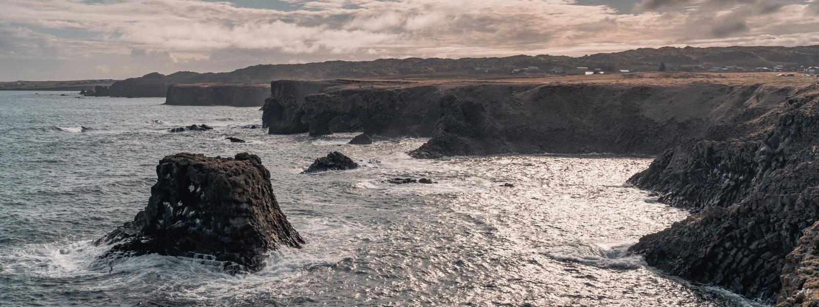
Gerpir is the easternmost point of the Icelandic mainland — only the skerry Hvalbakur lies further east.
- Entrance
- Free
- Accessibility
- On foot; long exposed mountain hike
- Parking
- At Vöðlavík, where the track ends
- Difficulty
- Hard — rough 4x4 track then a long hike
- Transport
- Summer 4x4 only, via Route 954 to Vöðlavík
- Hours
- Open 24 hours (summer access only)
- Address
- Gerpir, 741
What makes it special
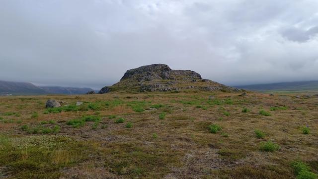
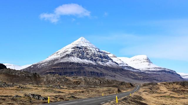
East of Gerpir there is nothing but ocean. The headland marks the easternmost point of the Icelandic mainland, at 13°29′ W; only the skerry Hvalbakur lies further out, and it is offshore. The mountain reaches 477 metres and drops from the summit to the water in a single slope, so the peak and the sea cliff are one wall of rock. The basalt here is among the oldest exposed rock in Iceland. Seabirds nest on the ledges, and the sound of them carries a long way in still air. Sea fog is common on this stretch of coast and can hide the cliffs completely.
Good to know
- This is a remote, unmarked backcountry hike rather than a roadside viewpoint — for fit, prepared walkers only.
- The track to Vöðlavík takes four-wheel drives only and opens in summer alone.
- There is no shelter, no services and no dependable phone signal — carry everything and leave your plan with someone.
- Set out only in settled weather with a full day of light, and be ready to turn back.
Getting there
No road runs to Gerpir. From Eskifjörður a rough mountain track — Route 954 and its continuation toward Vöðlavík — opens only in summer and only to four-wheel drives; it delivers you to the black-sand bay of Vöðlavík, and Gerpir is reached on foot from there. There is no public transport, so plan the drive and the walk together as one committing outing.
Sun & daylight
Nearby Places

Similar Places


Gerpir on the map
The access track is 4x4-only and open in summer alone, and the cape is a long, exposed hike with no services — go in good weather, tell someone your plan, and turn back if conditions close in.
Get directions

Your whole travel map in one place
Get inspired by new places around the world and find the ones worth the journey
Frequently asked questions
Where is Gerpir?
On the east coast of Iceland, in the municipality of Fjarðabyggð, in the East Iceland region.Is Gerpir the easternmost point of Iceland?
It is the easternmost point of the mainland, at 13°29′ W. The skerry Hvalbakur, at 13°16′ W, lies further east, but it is offshore.How high is Gerpir?
The mountain reaches 477 metres above sea level.Is Gerpir a mountain or a cape?
Both. It is classed as a mountain and as a cape: the summit stands directly above the coast at the seaward end of the headland.