Gran Canaria's mountains and ravines: seven places inland
5 min read7 destinations
Canary Islands · Spain
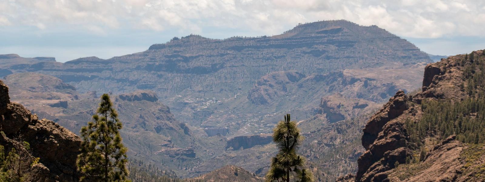
Gran Canaria climbs from its beaches to 1,956 metres at the summit, and inland it turns into cliffs, gorges and lone rock towers. Up here there are cave villages people still live in, a crater you can walk down into and a ravine lined with palms. A hire car is the practical way to get around the mountains, though a few of these places have a bus stop close by.
At the top: rocks and the caldera
Roque Nublo
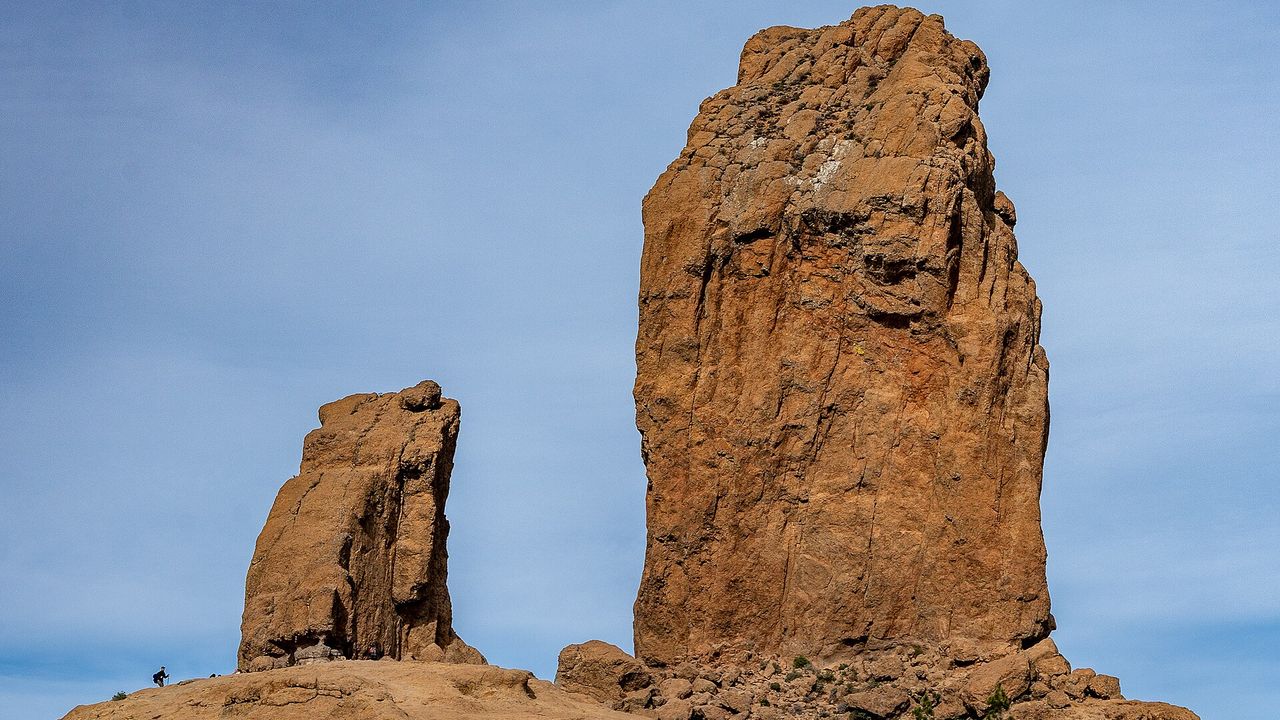
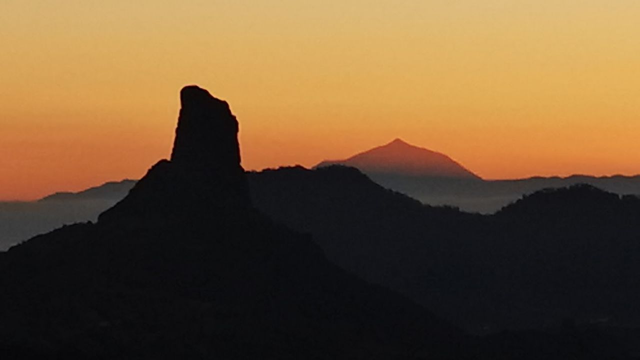
You can see the pillar on the skyline from much of the island long before you reach it: 80 metres of bare volcanic stone on a summit plateau, held sacred by the island's first people. Entry is free, but you need to book a time slot online in advance, and tickets are checked at the entrance. The trail is rocky and uneven, with almost no shade, so go early or late in the day. At the top there's room to sit, and on a clear day Teide shows across the sea on Tenerife. You can't drive up to the trail entrance or park along the road, so the bus is the easier option. There's no water on the trail, and access is sometimes closed for fire safety.
Roque Bentayga
Across the caldera from Roque Nublo, and much quieter. The rock rises to 1,414 metres above sea level from the middle of the Tejeda caldera. At its base is the almogarén, where the island's first people worshipped, and nearby caves were used as homes, tombs and grain stores. The visitor centre has a museum on the island's first inhabitants and a film with an English version. From there a rocky path climbs towards the rock, and the walk up and back takes 30–40 minutes. It's about 15 minutes' drive from Tejeda on a narrow road. Closing time is strictly enforced, so arrive at least an hour before it.
Cruz de Tejeda
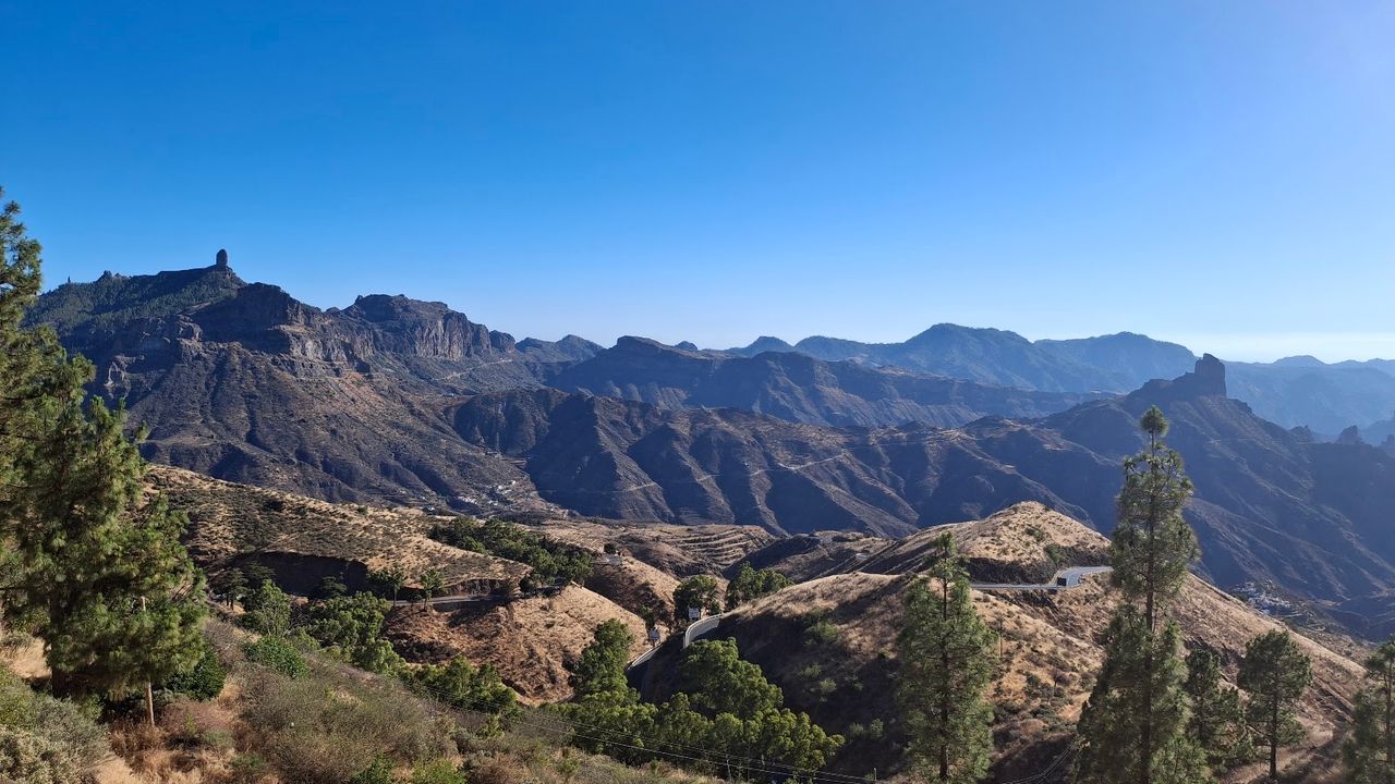
A mountain pass at the centre of the island, where roads meet from every side. Below the terrace spreads the Caldera de Tejeda, 28 by 18 kilometres of ridges and rock towers, with Roque Bentayga on the basin floor and Roque Nublo on the skyline. The writer Miguel de Unamuno called it a "petrified storm". Walking trails leave from the pass, and there's a café right at the viewpoint. Come early: by half past ten on a winter morning the coaches and motorbikes are already in the car park. Bring a warm layer: on winter mornings the air at the pass is chilly. Buses stop about 80 metres from the terrace.
Caves and cave dwellings
Risco Caido
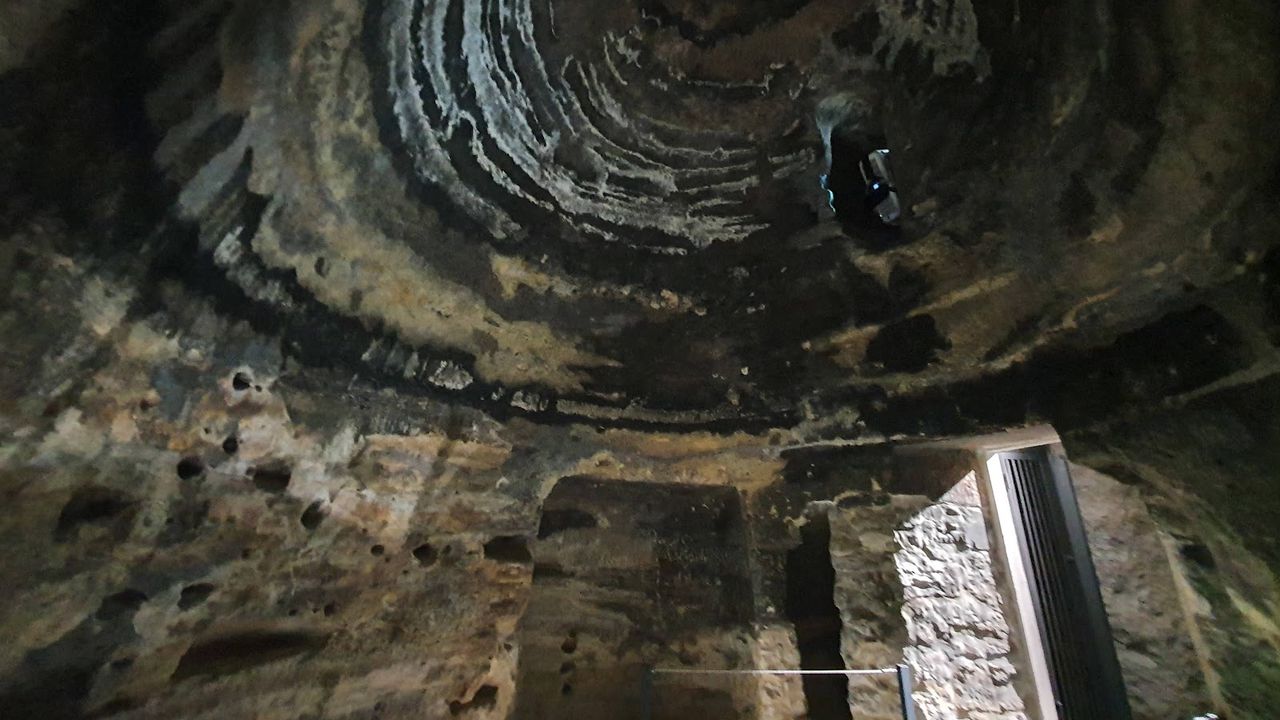
In the mountain village of Artenara, an interpretation centre explains Risco Caído, the cave temple at the heart of a UNESCO World Heritage site listed in 2019. Inside there's a replica of the cave, videos and interactive displays, and entry is free. The theory is that the island's first people tracked the seasons at Risco Caído, as sunlight came into the domed cave through an opening and moved across carved symbols. Not every scientist agrees, so it's worth knowing the sceptics' case too. Allow about an hour. Everything is indoors, which makes it a good stop when cloud covers the summits. The bus stop is 50 metres from the door.
Barranco de Guayadeque
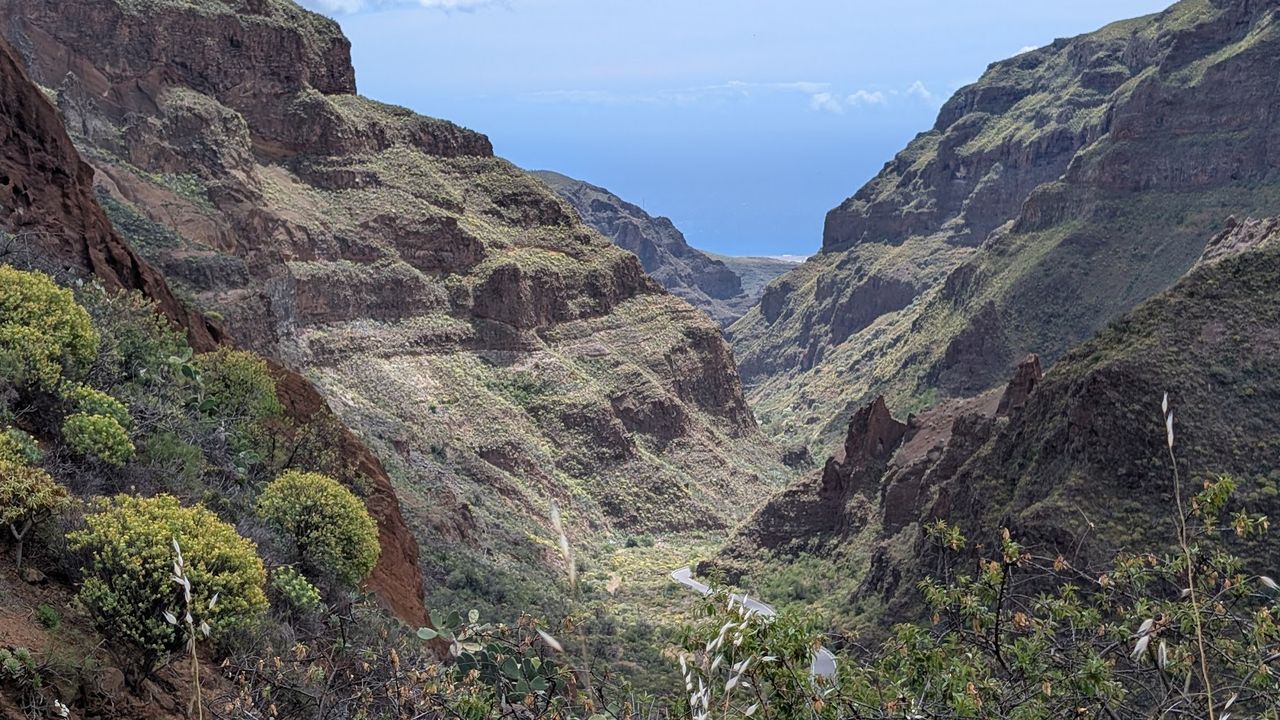
People still live in the rock here. In the hamlets of Cueva Bermeja and Montaña de las Tierras, homes, restaurants and even a small chapel are dug into the ravine wall, and a paved walk loops past cave houses. The walls rise 300–400 metres and are full of older caves, where the island's pre-Hispanic people lived and buried their dead. The museum at the mouth of the valley tells their story. The road in from Agüimes is narrow and winding, there's no mobile signal, and a free table at the cave restaurants can be hard to find. Come in late winter and the almond trees on the old terraces are in blossom.
Things to do in Gran Canaria
Paid links: booking through them supports YowJourney.
A crater and a ravine
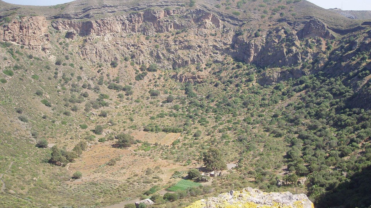
Bandama Caldera
Not far from Las Palmas lies a volcanic crater about a kilometre across and 200 metres deep. It was blown open by eruptions about 2,000 years ago, the most recent volcanic activity recorded on the island. A 3.5 km path follows the rim, and the loop takes about an hour. A steeper path drops to the floor, where the volcanic ash shows in different colours. The climb back out is the hard part, so don't go down in the midday heat, and bring plenty of water. If you'd rather not walk, you can drive up to the Mirador de Bandama viewpoint.
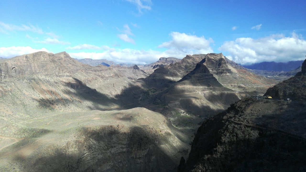
Fataga Ravine
Bare brown hills on both sides, and a green line of palms along the bottom that gave the ravine its old name, the valley of the thousand palms. Inside it sits Fataga, a village of stone-paved lanes around the church of San José, built in 1880. The village also has a watermill, craft shops and one of the oldest bakeries on the island. There's no shade on the hills and no drinking water nearby, so come early in the morning or late in the afternoon. The Arteara necropolis, on the way up from Maspalomas, is easy to add on the same day.
Before you go
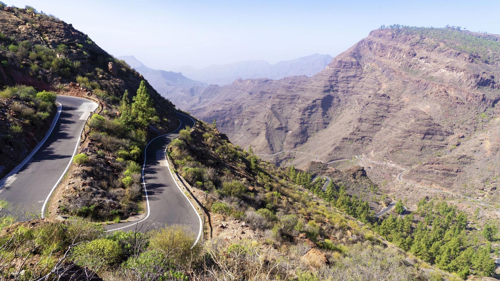
The mountain roads are narrow and wind above steep drops, so take them slowly. The summits are colder and windier than the coast, and in winter they can get frost, so pack a warm layer. When cloud sits on the tops, the views disappear: check the sky before you drive up, or head for the indoor centre in Artenara.