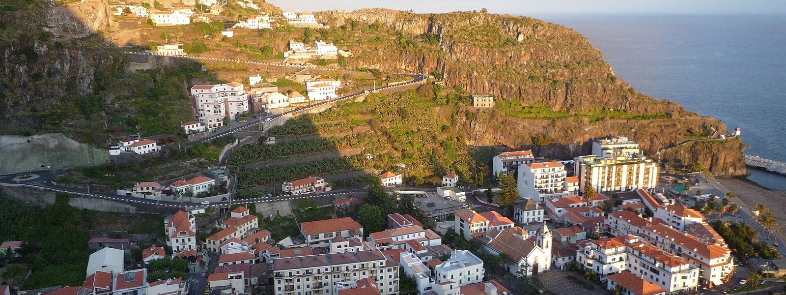
Ribeira Brava is a municipality on the southern coast of Madeira, roughly at its centre, west of Câmara de Lobos and Funchal, east of Ponta do Sol and south of São Vicente. The name translates as "angry river": in rainy seasons the watercourse behind the town ran hard enough to wreak havoc over the entire eight kilometres of its route. The municipality covers 65.45 km², with 13,375 people recorded in 2011 across parishes that include Campanário, Serra de Água and Tabua. The river still supplies the area's drinking water and power to the island, and its ravine is the way inland to the west-central mountains.
Ribeira Brava
- Currency
- Euro, in place of the escudo since 2002. Multibanco and ATM Express cash machines take international cards almost everywhere and mostly charge nothing of their own, while the Euronet machines clustered in tourist streets take high fees and give poor rates. VAT is already inside every price in shops and restaurants: 23% standard on the mainland, 22% in Madeira and 18% in the Azores.
- Language
- Portuguese, spoken here with a heavy accent even by mainland standards. English gets you about as far as it does on the mainland, and an attempt at a few Portuguese words is always taken well.
- Power plug
- Type C / F, 230 V, 50 Hz
- Visa
- Schengen: entry and short-stay limits follow the common Schengen rules.
- Time zone
- UTC+0 (UTC+1 in summer)
- Tap water
- Safe to drink across the country. Bottled spring water (água mineral) is sold everywhere for those who prefer it.
- Tipping
- Not expected, appreciated for good service. Around 8–10% in a restaurant if the service was exemplary, and it is perfectly acceptable to leave nothing if it was not. No tip for a coffee or a cake; €1–2 if you eat a full meal in a café. Nothing in pubs and bars. In a taxi, round the fare up and add €1–2.
- Emergency
- 112
When to go
High season
Jun – Sep
The driest and warmest run on the south coast, and the busiest. The seafront fills up and the valley road north carries a steady line of hire cars.
Low season
Oct – Jan
The wet months, and the river that gave the town its name shows why: it runs hard down the ravine. Cloud sits on the road over to São Vicente, and rain writes off walking days outright.
Shoulder
Feb – May
Mild, green and quieter on the seafront. The valley is at its fullest, and the mountain road inland clears more often than it does in midwinter.
How long to stay
A night or two covers the town on the water and gives you a base for the western half of Madeira. It also works as a stop of an hour or two on the way between Funchal and the west coast. Give it longer only if the valley above Serra de Água is the point: the ground climbs into the west-central mountains there, and that is a full day on its own.
Getting around
The municipality runs from the sea up a ravine into the west-central mountains, and the parishes are strung along that line: Campanário and Tabua towards the coast, Serra de Água inland at the head of the valley. A car handles that spread best. The south-coast expressway runs east to Funchal and the airport and west to Ponta do Sol; the road up the valley through Serra de Água crosses the island to São Vicente on the north coast. Buses work the south-coast corridor towards Funchal. Reaching the inland parishes without a car is another matter — plan around it before you book a room up the valley.
What to see

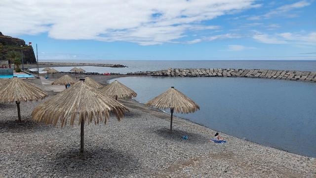
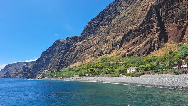
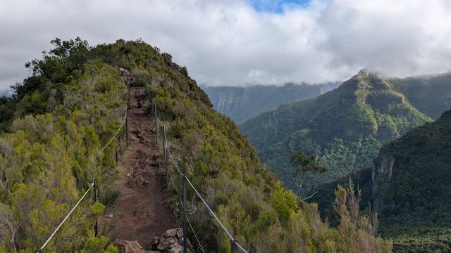

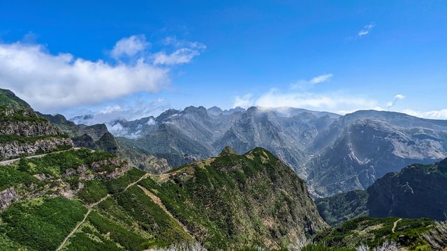
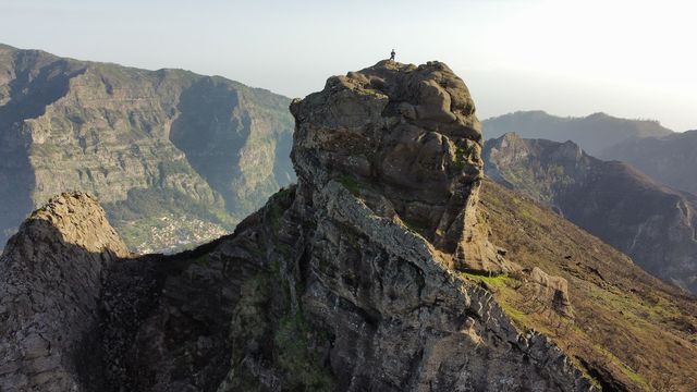
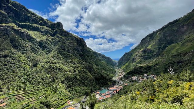
Destinations in Ribeira Brava
Frequently asked questions
What does the name Ribeira Brava mean?
"Angry river". In rainy seasons the river ran with a current strong enough to wreak havoc along the whole eight kilometres of its course, and the town took its name from it.Where is Ribeira Brava on Madeira?
On the southern coast, roughly at its centre. Câmara de Lobos and the regional capital Funchal lie to the east, Ponta do Sol to the west, and São Vicente over the mountains to the north.What does the municipality cover?
65.45 km² and five civil parishes, among them Campanário, Ribeira Brava, Serra de Água and Tabua. The population recorded in 2011 was 13,375.Does the river do anything beyond naming the place?
Yes. Around ten tributaries feed it off the west-central mountains, and its waters are the area's main source of drinking water — a small reservoir collects surface run-off — as well as a source of electricity for the island. The course runs down through Serra de Água and reaches the Atlantic at the coast here.