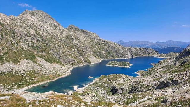
Set in the Aran Valley of Spanish Catalonia, Colomers is a hiking destination centred on access to a series of alpine lakes. Two main routes connect them—one easier yellow trail completable in a morning, and a longer red circuit that demands mountain experience. Both follow streams past waterfalls and climb over rocky terrain. The approach starts from free parking below, with taxi access to cut walking time in half.
Colomers Plan Lake
Local name: Estanh Plan de Colomèrs
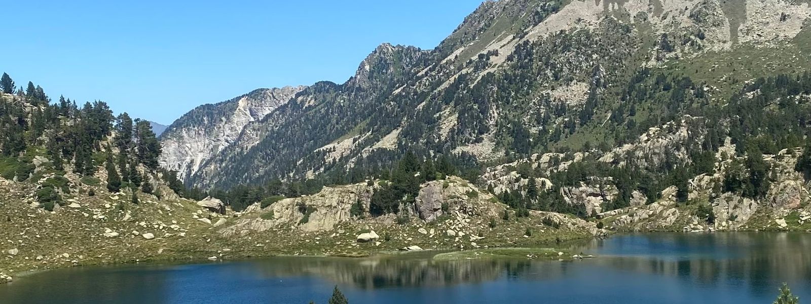
A single day-hike can connect four or more distinct alpine lakes, each with its own viewpoint and difficulty rating.
- Parking
- Free parking available at Naut Aran; a paid taxi service operates from the lot to transport hikers closer to the trailhead.
- Difficulty
- Two routes: the yellow loop is achievable in a morning (c. 4 hours) by moderately fit hikers, climbing over rocks and ascending regularly. The red circuit is substantially harder, requiring full mountain experience and taking 7–10 hours, with steep ascents, descents, and exposed sections.
- Hours
- Open 24 hours daily.
What makes it special
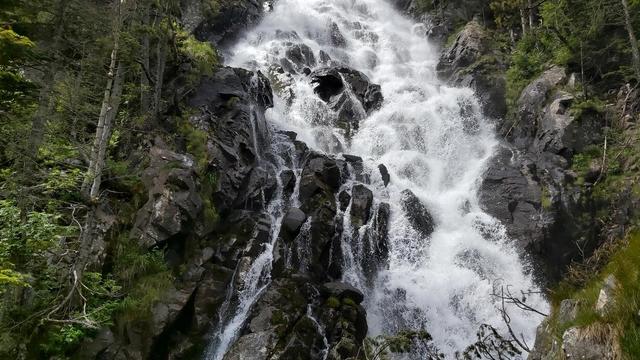
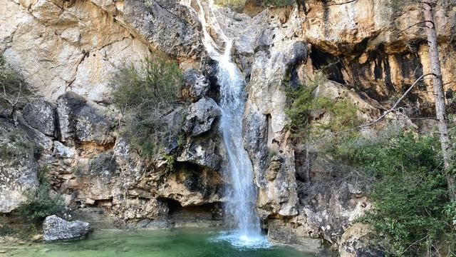
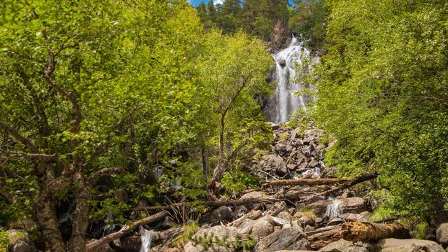
The lake chain itself justifies the trek: each alpine pool sits in a natural amphitheatre of rock and sparse vegetation, and the views from the approaches change with altitude. Two distinct routes offer genuine choice—visitors can pick the yellow loop to finish rested by midday, or attempt the red route for a full immersion in the high peaks. The trail follows a stream for much of the ascent, which means passing several cascading falls and crossing multiple bridges.
Good to know
- The yellow route takes about four hours without stopping; the red is at least seven hours and suits only experienced mountain hikers. - Bridges along the trail are deteriorating: barrier sections are broken, planks are missing, and wood shows moisture damage, though crossings remain passable. - There is no mobile signal on the mountain; prepare to treat any injury or insect sting yourself. - Mountain huts are sometimes closed, so food service is not guaranteed; eat before you start or bring supplies. - Heat is intense on full-day hikes, especially in summer; shade is rare and the sun is unforgiving at altitude.
Getting there
Drive to the free parking area in Naut Aran. From there, an unmarked trail begins a steep climb; most visitors take a paid taxi from the parking lot to cut an hour from the walk. The path stays close to a stream and passes under a small hotel, though the main hiking route diverges to a quieter trail. The final ascent to the lakes involves climbing over medium and large rocks and picking through several stream crossings.
Sun & daylight
Nearby Places
Similar Places
Featured in our guides
Colomers Plan Lake on the map
Bridges deteriorate progressively along the trail; some have broken railings, missing planks, and wood weakened by moisture. The path is not formally marked and route-finding can be confusing, particularly on the red loop where it is easy to lose your way. There is no mobile reception on the mountain, so you cannot call for help if you become injured or exhausted. Temperatures climb sharply at altitude in summer, and the absence of shade makes heat exhaustion a real risk on longer walks.
Get directions

Your whole travel map in one place
Get inspired by new places around the world and find the ones worth the journey
Frequently asked questions
How long does it take to reach the lake?
Without a taxi from the parking lot, the walk to the first major lake takes about four hours at a steady pace. A taxi from the lot cuts this to roughly one hour, though you miss the scenic stream walk.What is the difference between the yellow and red routes?
The yellow route is shorter and easier, completable by late morning, and suits hikers with basic fitness. The red route is longer and significantly harder, forming a large loop that takes seven-plus hours and requires mountain hiking experience.Is food available at the lakes?
Mountain huts operate at the lakes, but they are not always open. Count on no food service if you arrive on a quiet day. Eat beforehand or bring your own supplies.Are there facilities on the trail?
There are no rubbish bins along the way, so bring out everything you bring in. There is a place to eat just before the parking lot if you need to refuel before starting.