Lakes Piani are two small alpine lakes in the Dolomites above Sesto, in northern Italy. They lie in a basin of rock and scree a few hundred metres from Rifugio Locatelli, on the path that carries on to Rifugio Pian di Cengia, and fall on the Tre Cime di Lavaredo circular walk. From the hollow the view takes in the Tre Cime, Monte Paterno, Sasso di Toblin and the Sesto Dolomites. No road reaches them: the nearest car parks are at Rifugio Auronzo, just over 3 km away.
Lakes Piani
Local name: Laghi dei Piani

Bare rock and slabs run right down to the water, giving the basin its lunar look.
- Entrance
- Free — open mountain terrain, no gate and no ticket.
- Accessibility
- Not suitable for wheelchairs or limited mobility: the lakes are reached only on foot over mountain paths.
- Parking
- Nearest car parks: Rifugio Auronzo P3 and P4, just over 3 km from the lakes. Both are paid and gravel-surfaced.
- Difficulty
- Mountain walking: just over 3 km from the Rifugio Auronzo car parks, or a few hundred metres down from Rifugio Locatelli. Muddy, slippery ground near the water — waterproof boots with ankle support.
- Transport
- Nearest bus stop: Rifugio Auronzo, about 3.2 km away; Fischleintalboden – Pian di Val Fiscalina lies about 4.4 km off.
- Hours
- Open at any hour; there are no gates or opening times.
What makes it special
From Rifugio Locatelli both tarns lie below in a single view, pale and flat against the scree, and it is tempting to look, photograph and walk on. Going down to the water is worth the detour. At the level of the lakes the ground rises around you and the skyline opens on the Tre Cime, Monte Paterno, Sasso di Toblin and the ridges of the Sesto Dolomites. Sunset is the hour here: the low sun works on bare rock and still water at once, and the peaks hold the colour long after the hollow has gone into shade.
Good to know
- Toilets and water: free toilets and a drinking water point, both under 300 m from the lakes.
- On the circuit: the lakes sit on the path between Rifugio Locatelli and Rifugio Pian di Cengia, part of the Tre Cime di Lavaredo round.
- No shelter: the basin is open rock and scree, with no trees and nothing to duck under in bad weather.
- Sunset means walking out in the dark: the return to the car parks comes after it, so carry a head torch.
Getting there
No road reaches the lakes. Drivers stop at the Rifugio Auronzo car parks and walk the rest — just over 3 km of mountain path, most of it along the Tre Cime di Lavaredo circuit round to Rifugio Locatelli. From the refuge the tarns are a few hundred metres off and in sight the whole way down. Coming from the other direction, the path from Rifugio Pian di Cengia runs past the lakes on its way to Locatelli.
Best time to visit
Better: late afternoon into sunset, when the low sun crosses the basin and lights the rock, and the two tarns read clearly from Rifugio Locatelli above.
Avoid: the hours after heavy rain, when the ground round the shore turns to mud.
Sunset here means walking back out afterwards, so the timing only works with a torch and time in hand.
Sun & daylight
Nearby Places

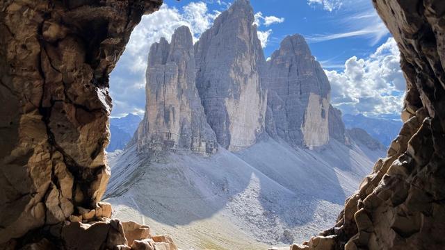
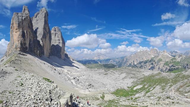

Similar Places
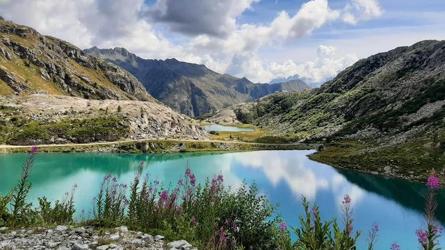

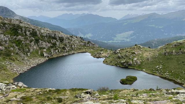
Lakes Piani on the map
The last stretch down to the water is muddy and slippery in places — high waterproof boots, and take the final metres to the shore slowly.
Get directions

Your whole travel map in one place
Get inspired by new places around the world and find the ones worth the journey
Frequently asked questions
How do you get to Lakes Piani?
On foot. The nearest car parks are at Rifugio Auronzo, just over 3 km away; from there the Tre Cime di Lavaredo circuit leads round to Rifugio Locatelli, with the lakes a few hundred metres beyond.Can you see the lakes without walking down to them?
Yes. Both lie below Rifugio Locatelli, a few hundred metres away, and are easy to pick out from above.What is the view from the lakes?
The Tre Cime, Monte Paterno, Sasso di Toblin and the wider Sesto Dolomites, seen from a hollow of bare rock and scree.Are proper boots needed?
Yes. There are muddy and slippery patches close to the water, and the ground there calls for waterproof boots with ankle support.Are there toilets or drinking water nearby?
Yes — free toilets and a drinking water point, both under 300 m from the lakes.