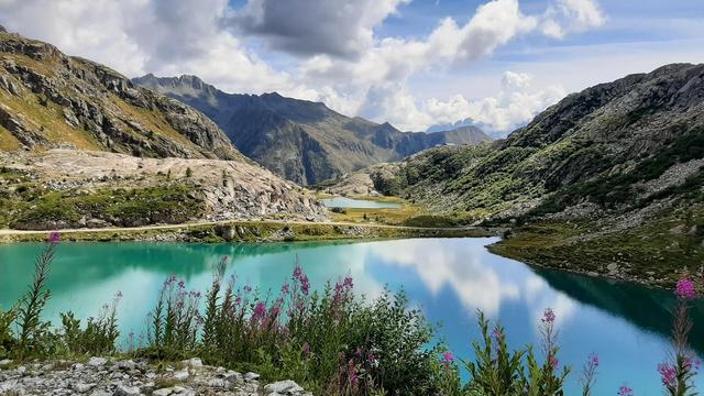
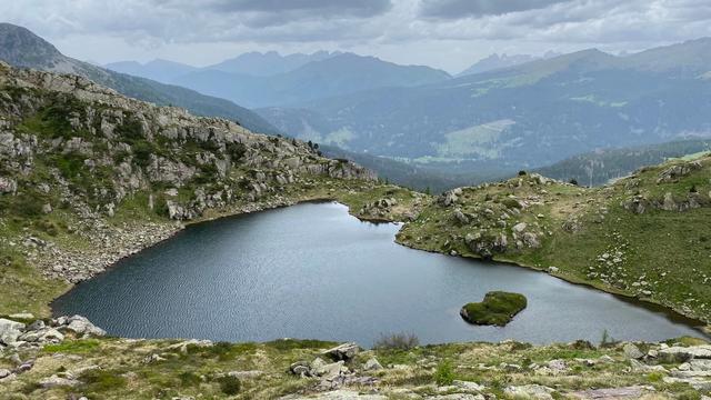
The Source of the Rienza River lies under the Tre Cime, in the municipality of Dobbiaco in the Dolomites. Spring water gathers into three small lakes, cold and clear, with forest around them, and from here the Rienza runs on down the Puster Valley. Maps carry the site under its German name, Rienzquelle. The lakes are reached on foot from the paid Rifugio Auronzo car parks, and the spot stays quieter than the trails around it.
Source of the Rienza River
Local name: Sorgenti del Rienza

Three small lakes under the Tre Cime, and the Rienza leaves them to run the length of the Puster Valley.
- Accessibility
- No wheelchair-accessible parking and no wheelchair-accessible entrance.
- Parking
- Paid gravel car parks at Rifugio Auronzo: P3 about 1.05 km from the lakes, P2 about 1.16 km.
- Transport
- Nearest bus stop Rifugio Auronzo, about 1.3 km away; Misurina casello Tre Cime, about 3.1 km.
What makes it special
Water rises here cold and completely clear, with forest standing close around the pools. This is the head of the Rienza — the river that runs on down the Puster Valley — and at this point it is shallow enough to show every stone on the bottom. When the air is still, the surface holds the rock walls above it. The site is close to Rifugio Auronzo and to everything that funnels through there, yet it stays quiet, and it works as a pause rather than a destination.
Good to know
- Parking is paid. Both Rifugio Auronzo car parks charge, and both are gravel; P3 sits just over a kilometre from the lakes, P2 about 1.2 km.
- No public toilets. The nearest, roughly 230 m away, are for customers only.
- Free drinking water. A drinking water point stands about 220 m from the lakes.
- Not step-free. There is no wheelchair-accessible parking and no wheelchair-accessible entrance.
- Fine with children. The site is suitable for children.
Getting there
The last stretch is on foot. Vehicles get as far as the Rifugio Auronzo car parks: from P3, the nearer of the two, it is just over a kilometre to the lakes, and P2 adds about another hundred metres. Both are gravel. Coming by bus leaves a longer walk again. Two information boards stand within a few hundred metres of the water, the nearer at about 200 m.
Sun & daylight
Nearby Places
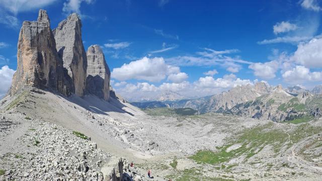
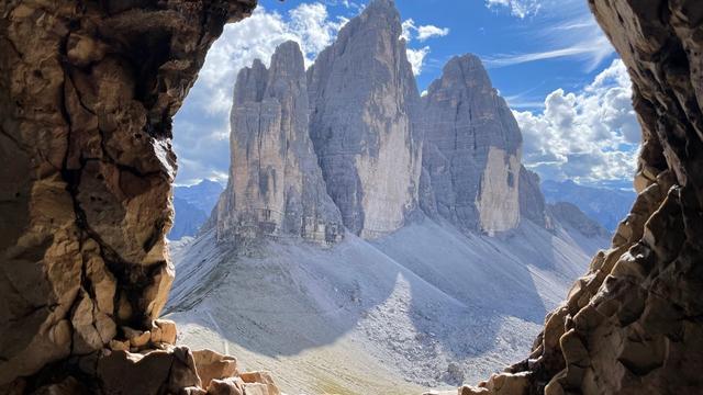

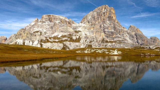
Similar Places
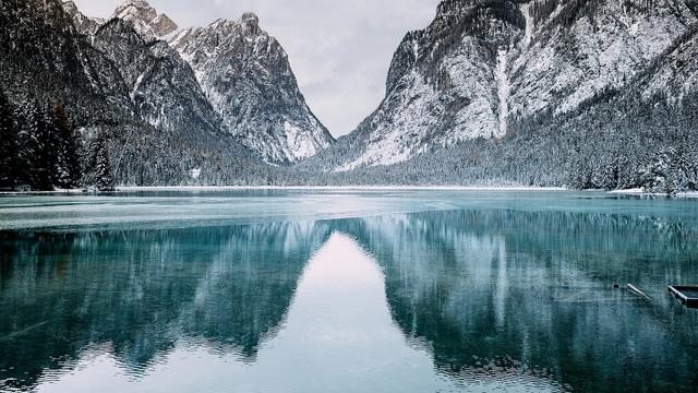


Your whole travel map in one place
Get inspired by new places around the world and find the ones worth the journey
Frequently asked questions
Where does the Rienza start?
At a group of small lakes under the Tre Cime, in the municipality of Dobbiaco in South Tyrol. Maps carry the site under its German name, Rienzquelle.How far is it from the car park?
P3, the nearer of the two Rifugio Auronzo car parks, is just over a kilometre from the lakes; P2 is about 1.2 km. Both are gravel and both charge.Are there toilets and drinking water?
A drinking water point stands about 220 m from the lakes and is free to use. The nearest toilets, roughly 230 m off, are for customers only.Can you get there by public transport?
The nearest bus stop is Rifugio Auronzo, about 1.3 km from the lakes. The stop at Misurina casello Tre Cime is about 3.1 km away.Is the site wheelchair accessible?
No. There is no wheelchair-accessible parking and no wheelchair-accessible entrance, and the last kilometre and more is covered on foot.