Papey is an island near the east coast of Iceland, in Múlaþing municipality, covering about 2 square kilometres. It was inhabited from the settlement of Iceland until 1966 and is empty now, though a church, a lighthouse, a private house and an automated weather station remain. Large colonies of Atlantic puffins nest here, and guillemots and seals are the other draw. Access is by guided boat tour. The name is linked to the monks called Papar, named in Landnámabók as living on the island.
Papey
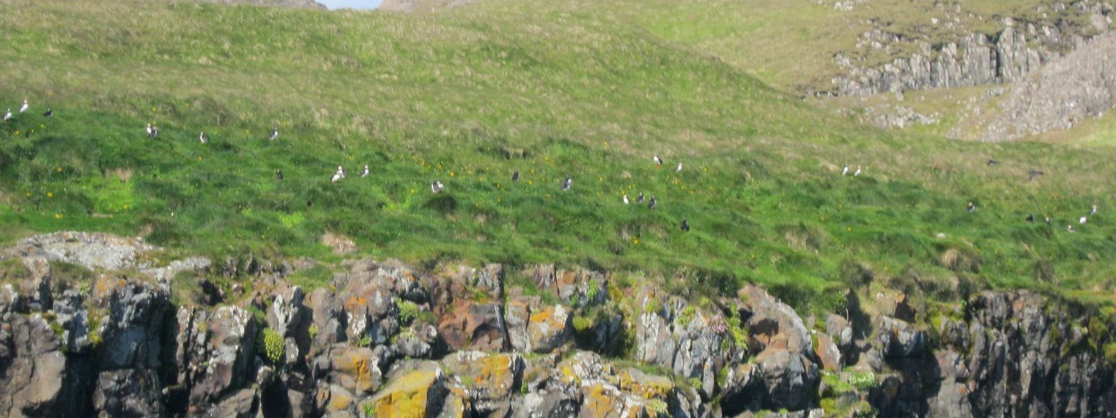
People lived on Papey from the settlement of Iceland until 1966; the church, the house and the lighthouse still stand on an island with no residents.
- Accessibility
- Not accessible — boat landing and rough island paths
- Difficulty
- Moderate — guided island walk on uneven ground
- Transport
- No public transport reaches the island. Access is by guided boat tour.
- Advance booking
- Required — access is by boat tour
What makes it special
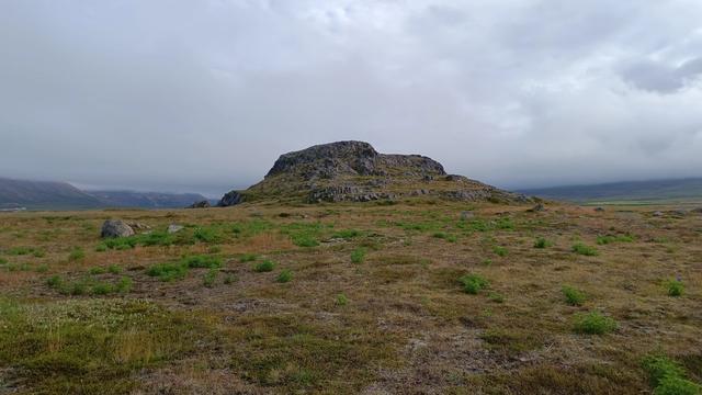
Papey lies off the east coast of Iceland and covers about 2 square kilometres. Its highest point is about 58 metres above sea level. People lived here from the settlement of Iceland until 1966, and no one lives here now. A church, a private house and a lighthouse still stand, and the weather station has run automated since 1998.
The draw is the birds. Large colonies of Atlantic puffins breed on the island, with guillemots on the cliffs and seals in the water around it.
The name points further back. Papey is said to be named after the monks called Papar, and Landnámabók names it as one of two places where those monks lived. Archaeological surveys between 1970 and 1980, some of them led by Kristján Eldjárn, then president of Iceland, turned up Norse settlement remains and no trace of the monks.
Good to know
- Getting on — the island is reached by guided boat tour; a review from 2024 reported that the tours were no longer going to Papey.
- No one lives there — Papey was inhabited from the settlement of Iceland until 1966 and is empty now. The weather station is automated.
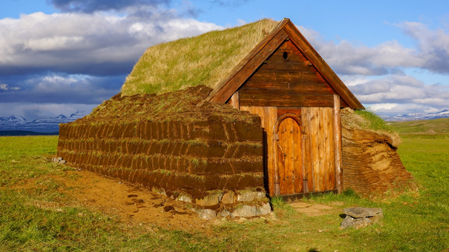
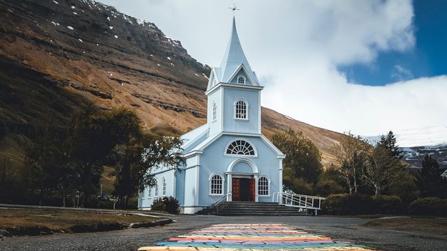
- Buildings remain — a church, a lighthouse and a house still stand on the island. The house is private.
- Wildlife — large Atlantic puffin colonies breed here, with guillemots and seals around the island.
- Scale — about 2 square kilometres, and the highest point is about 58 metres above sea level.
Getting there
Access to Papey is by guided boat tour. Do not assume a tour will be running: a review from 2024 reported that the boat tours were no longer going to the island. Confirm a departure before you build a day around it, and keep a second plan for East Iceland if there is none.
Sun & daylight
Nearby Places

Similar Places
Papey on the map
Papey can only be reached by boat and tours run in summer only, subject to the sea — book ahead, dress for wind and spray, and expect an exposed crossing and cliff-edge paths on the island.
Get directions

Your whole travel map in one place
Get inspired by new places around the world and find the ones worth the journey
Frequently asked questions
How do you get to Papey?
Only by boat, on guided tours. A review from 2024 reported that the boat tours were no longer going to Papey, so check that a departure is running before you plan around it.Does anyone live on Papey?
No. The island was inhabited from the settlement of Iceland until 1966. A church, a lighthouse, a private house and an automated weather station remain, but the population is zero.What wildlife is on the island?
Large colonies of Atlantic puffins nest on Papey. Guillemots and seals are the other animals the island is known for.Where does the name Papey come from?
From the monks called Papar. Landnámabók names Papey as one of two places where they lived, and some place names on the island point the same way. Surveys between 1970 and 1980 found Norse remains but no evidence of a monastic settlement.How big is Papey?
About 2 square kilometres, with the highest point about 58 metres above sea level. It sits near the east coast of Iceland, in Múlaþing municipality, formerly Djúpavogshreppur.