Parcines Waterfall is a 97-metre cascade in the mountains above Parcines, near Merano in the Dolomites region of northern Italy. Meltwater from the peaks feeds it, so it runs strongest in early summer. The site is open around the clock and reached by local bus or on foot, with a path climbing from the road below and a viewing point set closer to the water. Toilets, drinking-water taps and information boards stand near the falls, and a farm nearby serves food.
Parcines Waterfall
Local name: Cascata di Parcines
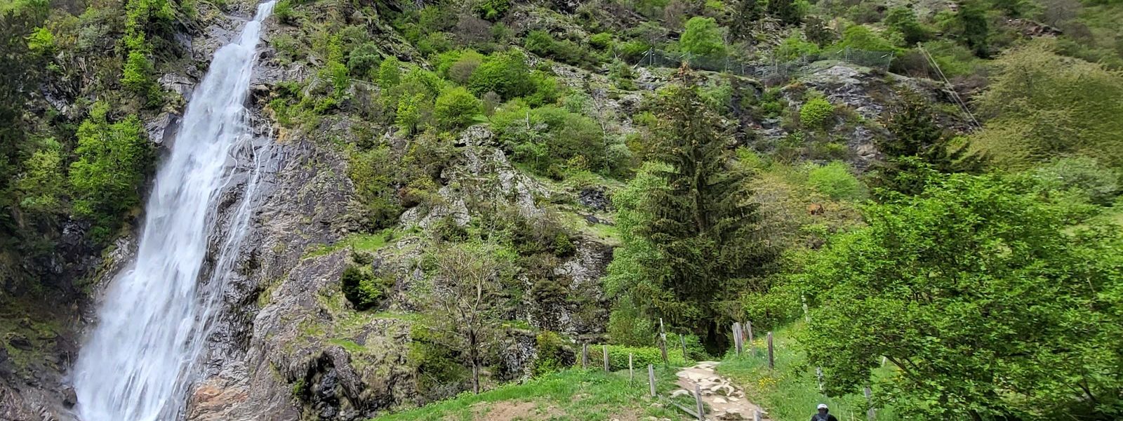
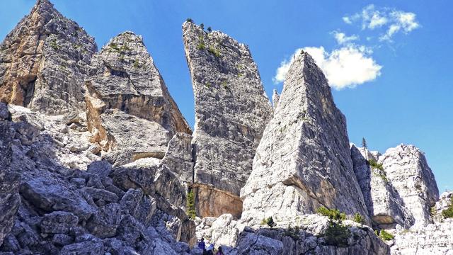
A multi-pitch sport climbing route runs up the rock beside the cascade — in early June it is soaked through, and October is the month it comes into condition.
- Accessibility
- No wheelchair-accessible entrance and no wheelchair-accessible parking; the falls are reached on foot, uphill.
- Parking
- Free asphalt car parks about 390 m and 400 m from the falls.
- Difficulty
- Ten minutes on foot from the path entrance where cars stop; from the road lower down, a steep climb of 15–20 minutes. The long approach from the funicular station runs a good 1.5 hours, downhill and not technically hard.
- Transport
- Local bus from Parcines village; the stop Partschinser Wasserfall – Cascata di Parcines lies 130 m from the falls, with a second stop, Partschins, Birkenwald – Parcines, Birkenwald, at 388 m.
- Hours
- Open 24 hours, every day.
What makes it special
The water comes off the wall in a single drop of 97 metres, and the roar reaches you before the last bend in the path. Early summer is the moment: the snowmelt arrives and the fall runs at full strength. From the observation trail a viewing point brings you nearer the water than the path does, and it is the angle everyone photographs; turn round and the view opens onto the Alps. One visitor met a stray goat lying on the trail. By autumn the flow has thinned and the rock alongside has dried out.
Good to know
- Toilets: the toilets by the falls charge a fee — bring coins.
- Water: drinking-water taps stand within 150 m of the falls, along with information boards.
- Food: a farm near the falls serves breakfast, lunch and refreshments.
- Dogs and children: dogs are allowed, and the site works for children.
Getting there
Cars go up the road as far as the entrance to the path, and from there it is ten minutes on foot to the falls. Start lower down and the climb is steep, 15–20 minutes of it, though the road can be walked instead of the path over the same stretch. The long way in comes down from the funicular station: a good hour and a half, downhill the whole way.
Best time to visit
Better: early summer, in the snowmelt, when the fall carries the most water and makes the most noise.
Avoid: the end of the season if the roar is what you came for — once the melt is over, the flow thins out.
The drop stays 97 metres all year; only the volume changes, and it changes enough to make two different visits out of the same place.
Sun & daylight
Nearby Places


Similar Places



Your whole travel map in one place
Get inspired by new places around the world and find the ones worth the journey
Frequently asked questions
How long is the walk to the waterfall?
Ten minutes on foot from the entrance to the path, where cars stop. Starting from the road lower down means a steep climb of 15–20 minutes.Can you get there by bus?
Yes. Leave the car in Parcines village and take the local bus up; the stop Partschinser Wasserfall – Cascata di Parcines is 130 m from the falls. Buses also run from the falls back down to the village.When does the waterfall run strongest?
During the snowmelt of early summer. That is when the fall carries the most water; later in the year the flow drops.Are there toilets at the falls?
Yes, roughly 120 m from the falls, and they charge a fee. Drinking-water taps are nearby.