Thjofafoss is a waterfall on the river Þjórsá in South Iceland, in the municipality of Rangárþing ytra. It sits at the southwest tip of the hill Búrfell, where the Merkurhraun lava field reaches the east bank. The river is wide here, and the fall spreads across it rather than dropping from a great height. A viewing point is reached by gravel track from Route 26 or from Route 32. The draw is the waterfall seen against the dark bulk of Búrfell.
Thjofafoss Waterfall
Local name: Þjófafoss

The name means "thieves' waterfall": Thjofafoss drops on the Þjórsá at the southwest tip of Búrfell.
What makes it special
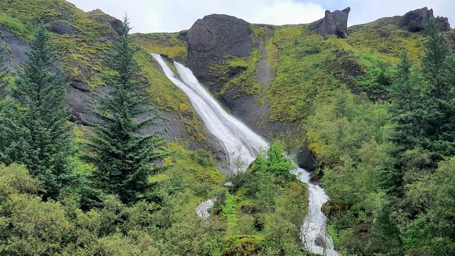
Thjofafoss is wide rather than tall. The Þjórsá spreads out and drops in a broad sheet, and the sound carries well beyond the water. Behind it stands Búrfell, a flat-topped hill of dark rock, and the fall sits at its southwest tip. The east bank is the edge of the Merkurhraun lava field: black, broken rock running down to the river, with no trees and no farmland in the frame. River, lava and hill are the whole scene. The standard photograph puts the waterfall in the foreground and Búrfell behind it.
Getting there
Two gravel tracks lead to the viewing point. One leaves Route 26 and runs about 4 kilometres northwest to the river. The other leaves Route 32 and runs south, passing the Búrfellsstöð hydroelectric station and the waterfall Hjálparfoss on the way, so both falls can be taken in on one drive. Neither approach is made-up road: the last stretch to Thjofafoss is gravel either way.
Sun & daylight
Nearby Places


Similar Places


Your whole travel map in one place
Get inspired by new places around the world and find the ones worth the journey
Frequently asked questions
What does the name Thjofafoss mean?
"Thieves' waterfall" in Icelandic. The name is also written Þjófafoss.Where is Thjofafoss?
On the river Þjórsá in South Iceland, in the municipality of Rangárþing ytra. It lies on the east side of the Merkurhraun lava field, at the southwest tip of the hill Búrfell.How do you reach the viewing point?
By gravel track. One runs about 4 kilometres northwest from Route 26; the other runs south from Route 32.Can Thjofafoss be combined with Hjálparfoss?
Yes. The track from Route 32 passes the Búrfellsstöð hydroelectric station and Hjálparfoss before it reaches Thjofafoss.