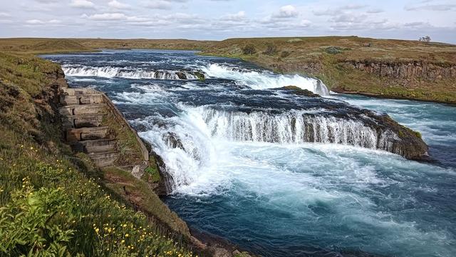
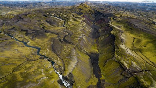
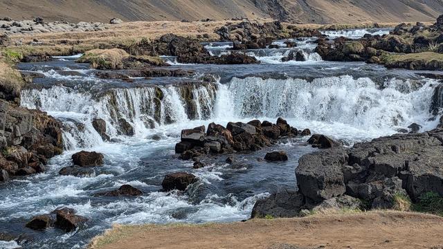
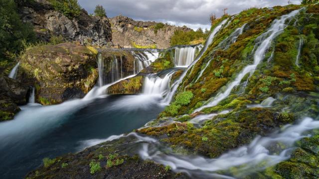
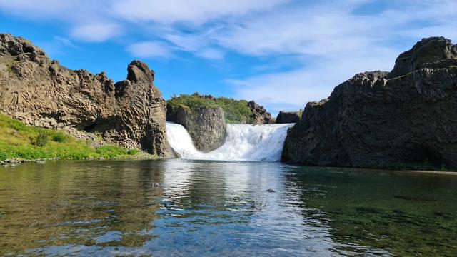
South Iceland lies along the North Atlantic coast, and the Ring Road runs east from Reykjavík straight into it. Large waterfalls, glaciers and the rivers flowing off Vatnajökull define the region; the glacier and the land around it form Vatnajökull National Park, the largest national park in Iceland. The region also holds Þingvellir, where the Alþingi met from 930, and Skálholt, a bishop's seat from 1056. Selfoss, with about 9,800 people, is the largest town.
South Iceland
Local name: Suðurland

- Currency
- Icelandic króna (ISK)
- Language
- Icelandic; nearly all speak English
- Power plug
- Europlug and Schuko sockets, 230 V
- Visa
- Schengen; outside the EU
- Time zone
- UTC±00:00 (Atlantic/Reykjavik)
- Tap water
- Safe; hot water smells of sulphur
- Tipping
- Not customary
- Emergency
- 112
Things to do
All tours in South Iceland on GetYourGuide
Paid links: booking through them supports YowJourney.
When to go
High season
Jun – Aug
Daylight lasts almost the whole night. Lowland roads and highland tracks are open, and the Ring Road through the region carries the most traffic of the year.
Shoulder
Sep – Oct
Daylight shortens quickly and the highland tracks close. The Ring Road and the inland roads west of Selfoss stay open, with fewer cars on them.
Low season
Nov – Mar
Days are short and the interior is out of reach. Blinding snowstorms, ice and strong wind are common on Hellisheiði, the pass between Reykjavík and Hveragerði.
Shoulder
Apr – May
Light returns and the coastal roads clear, but the highlands and the glacier margins east of Selfoss stay shut to traffic.
How long to stay
Three to four days is a realistic minimum. Two of those go to the western half, between Þingvellir, Selfoss and the waterfalls along the Ring Road, where the road network is dense and the towns sit close together. The eastern half is slower. Distances between the glacier, Jökulsárlón and Höfn are long, and a single day does not cover them. Allow five or six days for the whole region, from Þorlákshöfn east to Höfn.
Getting around
- Car. The Ring Road crosses the region from west to east and serves most of the towns. The western part has a good road network inland as well, but the roads leading inland from Selfoss are very narrow and demand care.
- 4x4. Further east the interior turns into highland and glacier. Only 4x4 vehicles should go there.
- Bus. One bus a day runs along the whole southern section of the Ring Road, and other buses link the inland towns in the west. Sterna Travel and Reykjavík Excursions operate most services; ask locally about seasonal ones.
- Ferry. Herjólfur sails to Vestmannaeyjar from Landeyjar, and from Þorlákshöfn when the newer harbour fills with sand. High waves make timings irregular, so check the ferry status before driving to the pier.
- Plane. Mainland South Iceland has no airport. Eagle Air flies from Reykjavík to Höfn and to Vestmannaeyjar.
Public transport cannot take you everywhere.
Local rules
- Stay on marked roads. Driving off road is illegal throughout Iceland, on sand, gravel and moss alike.
- Highland tracks are for 4x4s. East and inland the interior turns into highland and glacier. A two-wheel-drive hire car does not belong there.
- Camping. Pitching a tent or parking a camper outside marked campsites requires the landowner's permission.
What to see

Destinations in South Iceland
Frequently asked questions
How do you get to Vestmannaeyjar?
By ferry or by plane. The Herjólfur ferry runs from Landeyjar, and from Þorlákshöfn when the Landeyjar harbour fills with sand. High waves on the route make sailing times irregular, so check the status of the ferry before you show up at the pier. Cars can be brought across. Eagle Air also flies to the islands from Reykjavík.Is it safe to walk on the beaches?
Only with care. The southern coastline from Þorlákshöfn to Höfn is an almost unbroken sand beach open directly to the Atlantic, with no natural harbours to break the swell. Appearances are deceiving and the tides are strong. Tourists have been killed after being swept out to sea. Never turn your back on the water.Can you reach the region from Reykjavík without a car?
Yes, as far as Selfoss. The Reykjavík area bus system, Strætó, runs bus 51 from Mjódd over Hellisheiði to Hveragerði and terminates in Selfoss. Beyond that, scheduled buses run along most of South Iceland, including a daily service along the southern section of the Ring Road.Are there medieval remains at the saga farms?
No. Njáll's saga is largely set in South Iceland, and the farms of Bergþórshvoll and Hlíðarendi in Fljótshlíð still exist, but Icelandic building materials were not made to last. What stands there today is twentieth-century construction. The landscape around them is the reason to go.Which roads are the dangerous ones?
Two kinds. The roads leading inland from Selfoss are very narrow. Hellisheiði, the mountain pass on the national road between Reykjavík and Hveragerði, is the worst in winter, when blinding snowstorms, ice and strong wind are common. Further east the interior is highland and glacier, and should be entered only in a 4x4.