Jokulsarlon is a glacial lagoon in the southern part of Vatnajökull National Park, in South Iceland. It formed in the 1930s as the outlet glacier Breiðamerkurjökull began to retreat, and has grown fourfold since the 1970s. Icebergs calve from the glacier front, drift across the water and pass out to the sea through the shallow exit under Route 1. It is the deepest lake in Iceland, and the national park around it is a UNESCO World Heritage Site.
Jokulsarlon Iceberg Lagoon
Local name: Jökulsárlón
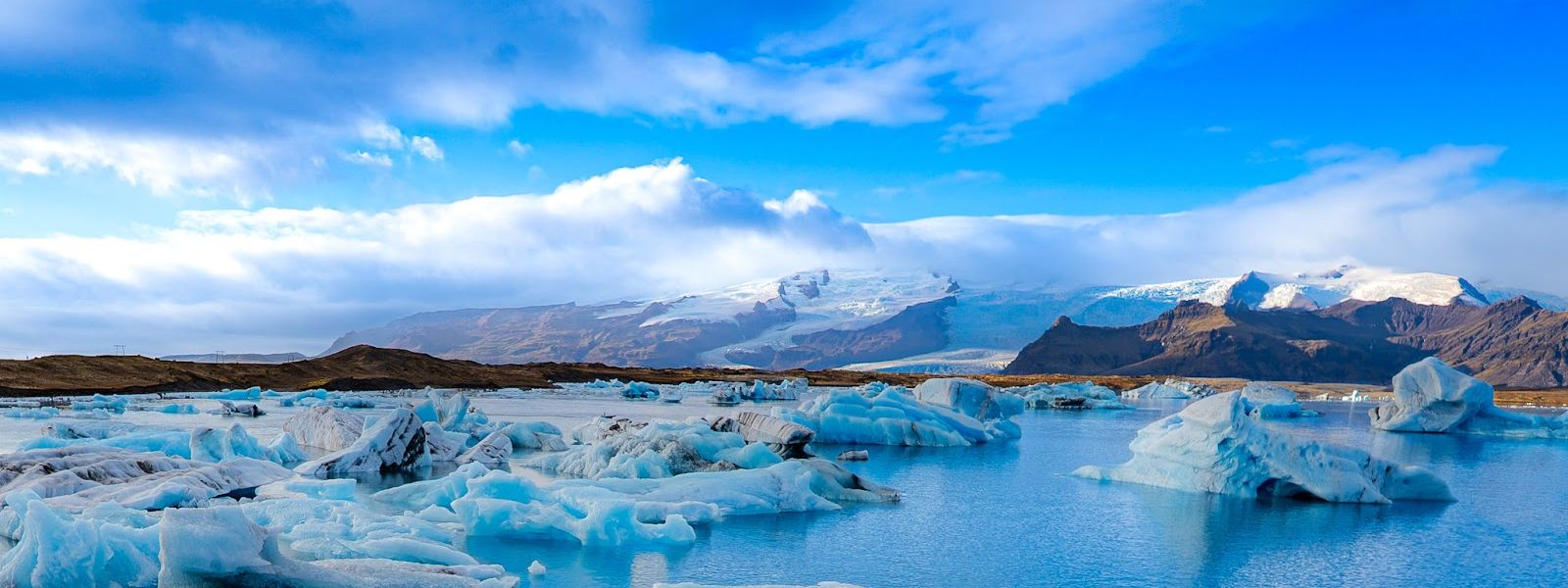
Sounded at over 284 metres in 2009, it is the deepest lake in Iceland, and it keeps deepening as Breiðamerkurjökull retreats about 200 metres a year.
- Parking
- Parking at the lagoon beside Route 1. The Jokulsarlon car park is gravel and charged; a second, asphalt car park nearby is free.
- Difficulty
- Viewpoints are steps from the car park. Paths run along the lagoon shore and on towards the glacier.
- Transport
- A bus stop named Jokulsarlon serves the lagoon, on the ring road; no route number is given in the sources.
- Address
- Jökulsárlón, 781
What makes it special
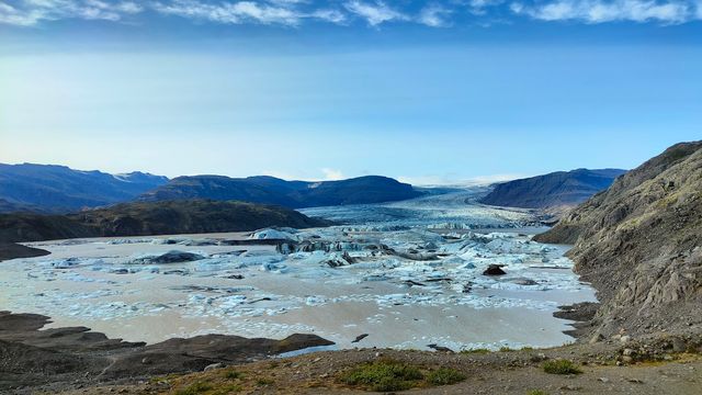
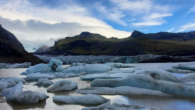
The ice comes off Breiðamerkurjökull at the head of the lagoon and drifts towards the sea. Blocks calving from the edge of the ice cap stand about 30 metres high. Colour splits two ways, milky white and hard blue, depending on the air trapped in the ice, and some bergs carry grey bands of volcanic ash from old eruptions. The drift is not random. It follows the tidal current and the wind, so what floats in front of the viewpoints rearranges itself through the day. Seals hunt fish at the outlet, above all in the cold months, and haul out on the floating ice. Behind the lagoon rises Vatnajökull itself. The sound is cracking and splitting ice carried across flat water.
Good to know
- Weather: it turns from calm to wind and mist within minutes, and the air by the water stays cold in summer. Bring a windproof layer.
- Ice is not guaranteed: how much of it floats in the lagoon varies. A live webcam shows the current state before you commit to the drive.
- On the water: boat, amphibian and kayak tours run in the warmer months. Winter ice cave tours set off from the lagoon car park.
- Facilities: toilets and food stalls at the lagoon. Rangers work here all year and run free educational walks in summer.
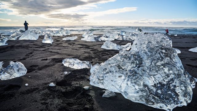
- Across the road: Eystri-Fellsfjara, the black sand beach known as Diamond Beach, where stranded ice sits on the sand.
Getting there
Route 1, the ring road, runs past the lagoon and crosses its outlet on a bridge, so the approach is a matter of pulling off the road. The lagoon lies 75 km west of Höfn and 60 km east of Skaftafell; from Reykjavik the drive takes over four hours. Parking is right at the water and the viewpoints are steps from the car. From there a path continues along the shore towards the glacier.
Best time to visit
Better: early morning or late evening, and the cold months if you want seals — they gather at the mouth of the lagoon to fish in winter.
Avoid: the middle of the day, when the crowds are heaviest, and winter if getting on the water matters — boat and amphibian tours run in the warmer months.
This is one of Iceland's most visited stops, but the lagoon is large and open, so it rarely feels packed. Sunrise and sunset give the strongest light on the ice.
Things to do nearby
All tours in South Iceland on GetYourGuide
Paid links: booking through them supports YowJourney.
Sun & daylight
Nearby Places


Similar Places

Featured in our guides
Jokulsarlon Iceberg Lagoon on the map
Icebergs move with the tidal current and roll as they melt down into smaller blocks. Never climb on the ice or walk out onto stranded pieces. In summer skuas nest on the sand flats around the lagoon; great skuas are not afraid of people and do not tolerate anyone close to a nest.
Get directions

Your whole travel map in one place
Get inspired by new places around the world and find the ones worth the journey
Frequently asked questions
Are there always icebergs in the lagoon?
Ice calves from Breiðamerkurjökull all year, but how much of it floats in the lagoon changes. A live webcam shows the current state, which is worth checking before a long drive.Can you get out on the water?
Yes. Several operators run boat, amphibian and kayak tours in the warmer months. In winter, ice cave tours leave from the lagoon car park instead.Is there any wildlife to see?
Seals fish at the mouth of the lagoon, gathering there in winter, and lie out on the icebergs. Arctic terns and skuas nest on the sand plain nearby in summer.Is Diamond Beach the same place?
No. It is the black sand beach across the ring road, properly called Eystri-Fellsfjara, where blocks of ice that have drifted out to sea wash back onto the sand.How did the lagoon form?
Breiðamerkurjökull began retreating in the late 19th century and the lagoon took shape in the 1930s. It has grown fourfold since the 1970s as the glacier pulls back.