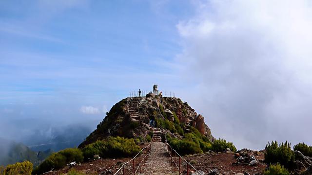
Vereda da Encumeada Trail (PR1.3) is a hiking trail in the mountain interior of Madeira, Portugal. The path is built and heavily stepped, and it crosses the cloud layer 2.5 km from the start, so a good part of the walk runs above the cloud with peaks and mountain vegetation in view. The ground up there is open and windy. The nearest car park is a little over 2 km from the trail point, and the approach from it is on foot.
Vereda da Encumeada Trail (PR1.3)
Local name: Vereda da Encumeada (PR1.3)

The path starts under the cloud layer and, 2.5 km in, comes out on top of it.
- Parking
- Free car park at Achada do Teixeira, asphalt, about 2.2 km from the trail point; a second car park 2.7 km away.
- Difficulty
- Built path with many stairs; described both as difficult and as not too steep. Above the cloud layer 2.5 km from the start.
- Transport
- Nearest mapped bus stops: Pico Furão-Final, about 2.6 km, and Pico Furão 4A, about 2.8 km.
What makes it special
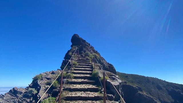
Two and a half kilometres of climbing, and the cloud is under you. The path starts below the deck, works up through it on stair after stair, and comes out on a white floor with the peaks standing clear above it. Steps are the character of the route: enough of them that one walker called the hike difficult, while another, on the same staircase, called the way well built and not too steep. Wind is the other constant. The ground near the top is open, nothing breaks the gusts, and a windproof layer earns its place in the pack.
Good to know
- Wind: the upper ground is open and windy — carry a windproof jacket, and long trousers if you feel the cold.
- No water on the way in: nothing drinkable is mapped within 800 m of the trail point, so fill up before you set off.
- Toilets: two are mapped within 200 m of the trail point, and both charge.
- Dogs: allowed on the trail.
Getting there
Cars get as far as Achada do Teixeira, the nearest mapped car park, asphalt-surfaced and a little over 2 km from the trail point; the next one is 2.7 km out. The rest of the approach is on foot. An information board stands at the trail point itself, with a second board for PR 1.2 Vereda do Pico Ruivo about 170 m away.
Best time to visit
Better: sunset from the top, with a torch in the pack for the way back down.
Avoid: cancelling because of grey sky at road level — the cloud sits below the upper part of the path, not on it.
Late light is the reason to go up; either way, the open ground near the top is windy.
Sun & daylight
Nearby Places

Similar Places


Vereda da Encumeada Trail (PR1.3) on the map
Fire has burned the trail. An account from January 2025 describes it as closed — unsafe to walk, and easy to damage further while it recovers — with reopening months away or longer. Check the current status before you travel.
Get directions

Your whole travel map in one place
Get inspired by new places around the world and find the ones worth the journey
Frequently asked questions
Is the trail open?
An account from January 2025 describes it as closed after fires: burned, unsafe and easily damaged further, with reopening expected to take months or longer. Check the status before travelling rather than on arrival.What is there to see from the path?
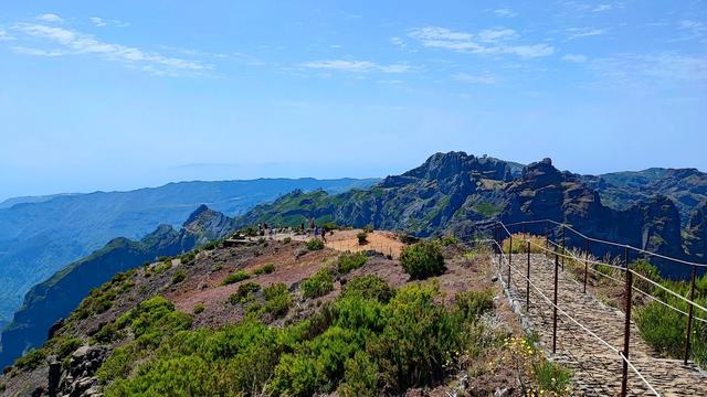
Mountains and their vegetation, and from 2.5 km in, the top of the cloud layer with peaks standing above it. There is no sea view.How hard is the walk?
Accounts differ. One walker found it difficult with many stairs; another called the way well built and not too steep. One party turned back at the halfway point and still found the walk worth it.