Vikurskard Pass carries the national road over the high ground between Eyjafjörður and Fnjóskadalur, in Northeast Iceland east of Akureyri. The high point of the crossing is 325 metres above sea level. The pass itself is open heath and bare slope, with no settlement on it. Most people see it from the car, on the way between the fjord and the valley. The descent towards Eyjafjörður opens the long view down the fjord.
Vikurskard Pass
Local name: Víkurskarð
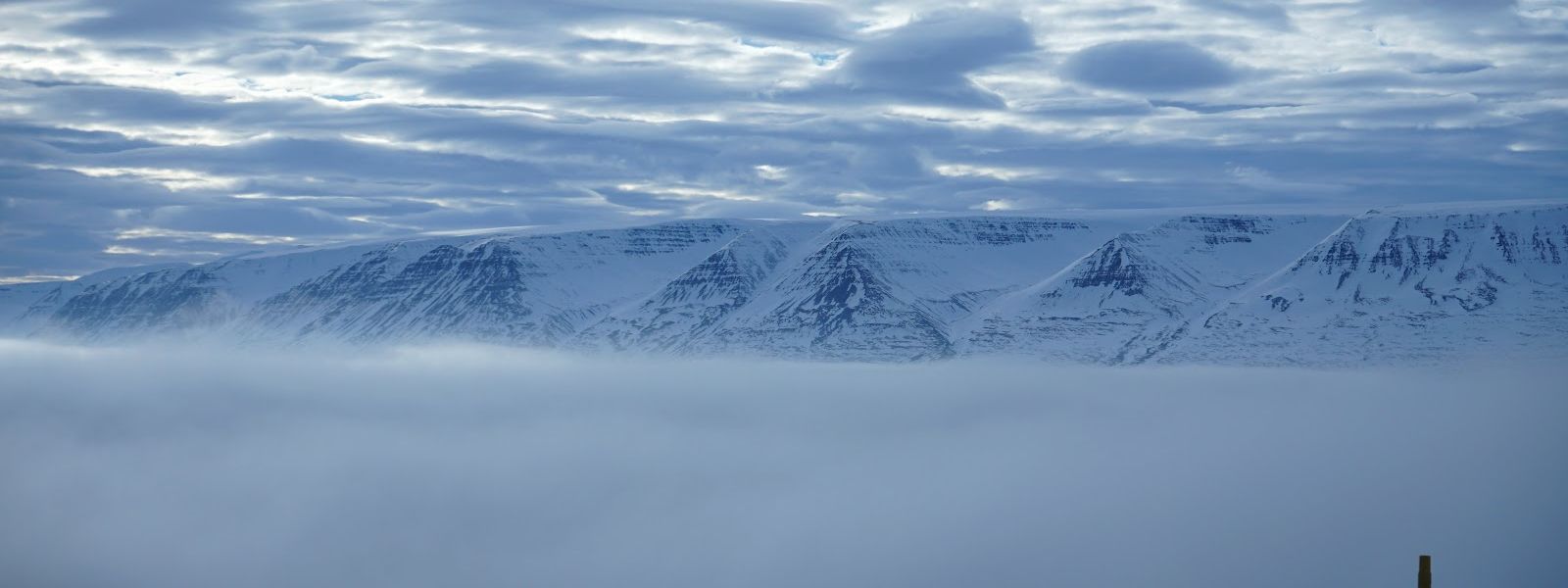
The national road tops the pass at 325 metres above sea level, between the Eyjafjörður coast and the valley of Fnjóskadalur.
What makes it special
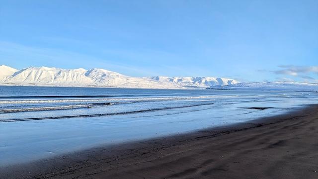
The pass is a road crossing rather than a destination. What makes it worth slowing for is the change of landscape between one flank and the other. On the western side the ground falls away towards Eyjafjörður and the view runs down the fjord. On the eastern side the road drops into Fnjóskadalur, a valley with birch woodland, which is uncommon in Iceland. The top of the crossing is bare heath and rock at 325 metres above sea level, with no shelter and nothing built on it. The fjord side faces west, so the afternoon light falls on it.
Things to do nearby
All tours in Northeast Iceland on GetYourGuide
Paid links: booking through them supports YowJourney.
Sun & daylight
Nearby Places


Similar Places



Your whole travel map in one place
Get inspired by new places around the world and find the ones worth the journey