Northeast Iceland is one of the eight traditional regions of Iceland, on the northern side of the island. It covers 21,968 square kilometres and has around 30,600 residents. Akureyri is the largest town, with 19,542 people in 2024, so close to two thirds of the region's population lives in one place. Across the region as a whole that leaves fewer than two people per square kilometre.
Northeast Iceland
Local name: Norðurland eystra

- Currency
- Icelandic króna (ISK)
- Language
- Icelandic; nearly all speak English
- Power plug
- Europlug and Schuko sockets, 230 V
- Visa
- Schengen; outside the EU
- Time zone
- UTC±00:00 (Atlantic/Reykjavik)
- Tap water
- Safe; hot water smells of sulphur
- Tipping
- Not customary
- Emergency
- 112
Things to do
All tours in Northeast Iceland on GetYourGuide
Paid links: booking through them supports YowJourney.
When to go
High season
Jun – Aug
At this latitude the nights in June and July barely get dark. Roads are open and this is the busiest stretch of the year.
Shoulder
Sep – Oct
Daylight shortens quickly and the nights turn properly dark again, so the aurora is visible on clear nights. Fewer visitors than in summer.
Low season
Nov – Mar
Around midwinter the sun is up for only a few hours. Snow closes mountain and inland roads, and journeys between settlements take far longer than the map suggests.
Shoulder
Apr – May
Days lengthen fast and snow leaves the lowlands, while higher routes stay shut into spring. It is quieter than summer and the weather is unsettled.
How long to stay
Three to four days is a realistic minimum. The region covers 21,968 square kilometres, so driving between settlements takes a large part of each day, and one base will not reach every corner of it. Akureyri is the largest town by a wide margin and the obvious place to sleep and restock. A week lets you move base at least once and keep a day in reserve for weather.
Getting around
A hire car is the practical way to move around. Iceland has no railway, so every overland journey is by road. Route 1, the ring road, runs through the region and connects most of its settlements. Akureyri has a domestic airport, the alternative to the long drive up from the south. Scheduled buses link the larger towns. In winter snow closes mountain and inland roads, and there are only a few hours of usable daylight for driving, so check road conditions before setting out.
What to see

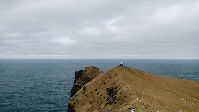
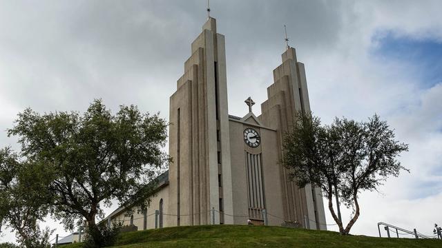

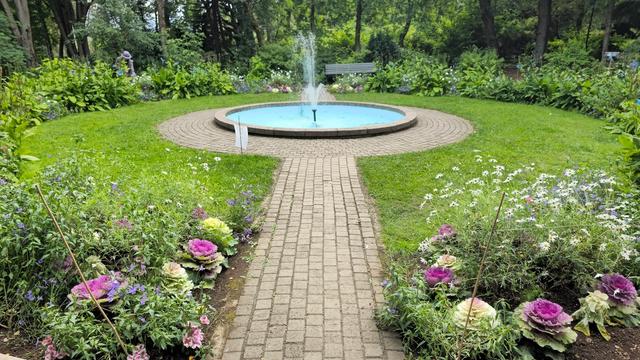

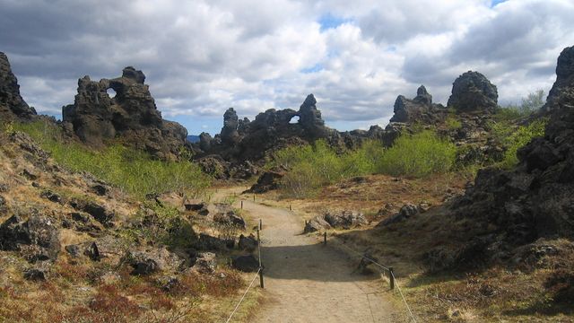
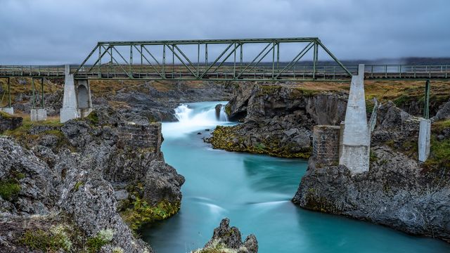


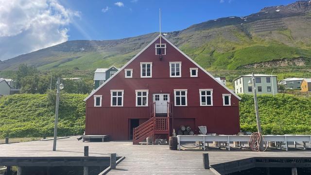
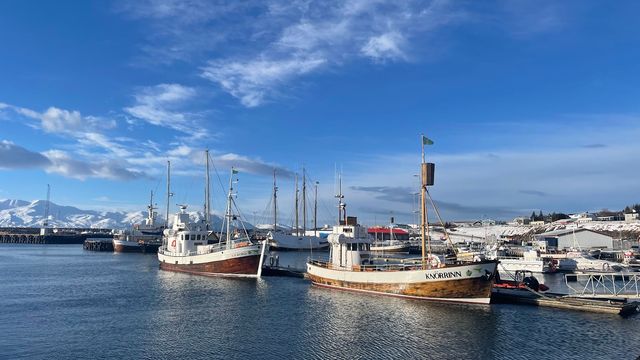
Destinations in Northeast Iceland
Frequently asked questions
What is the largest town in Northeast Iceland?
Akureyri, with 19,542 residents in 2024. Nothing else in the region comes close: the whole of Northeast Iceland holds about 30,600 people.How big is Northeast Iceland?
21,968 square kilometres, with a population of about 30,600. That is fewer than two people per square kilometre, and most of them live in Akureyri.What is Northeast Iceland called in Icelandic?
Norðurland eystra. It is one of the eight traditional regions of Iceland and takes in the north of the island.