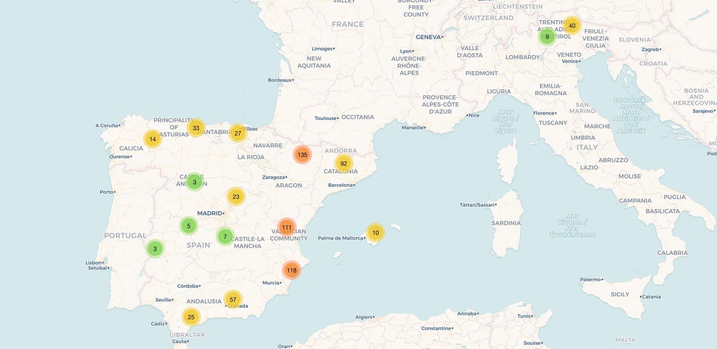
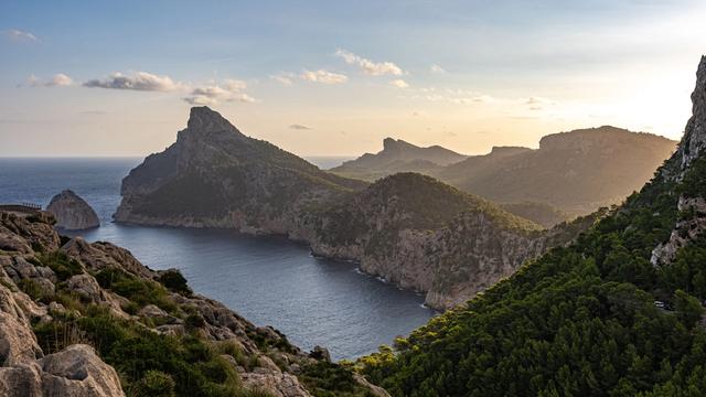
Things to do in Fuerteventura: from Corralejo to Cofete
11 min read8 destinations
Canary Islands · Spain
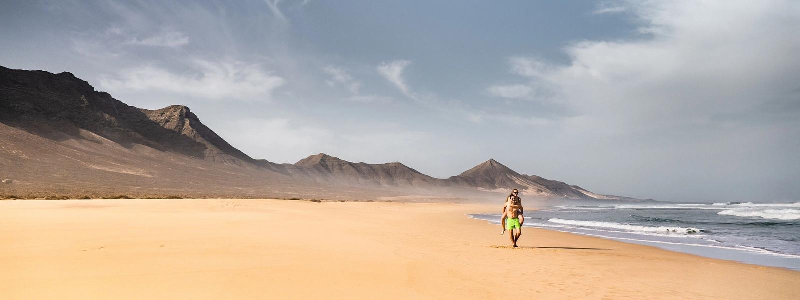
Fuerteventura has 152 beaches, with about 50 km of white sand between them. It is also the oldest of the Canary Islands and one of the windiest. Most people come for the beaches and the water, but the island also has the largest dunes in the Canaries, a mountain its first people held sacred, sea caves and Betancuria, its first town. Here are eight things to do on a first trip, from the northern tip to the Jandía peninsula, and how to reach each one.
In short
- Without a car: the dune beaches south of Corralejo are a short bus or taxi ride from town, and boats cross to Lobos from Corralejo harbour. Inland, the cheese museum near Antigua and the windmill centre at Tiscamanita each have a bus stop about 100 m away.
- On a grey or windy day: the windmill centre at Tiscamanita and the La Cilla grain museum in La Oliva. In the rain, the El Carmen Salt Pans work too, since part of the visit is indoors.
- With children: the La Alcogida Ecomuseum, with its goats, hens, camel and donkey; the lagoon at La Concha in El Cotillo, which fills on some high tides; the cobbled path up Calderón Hondo.
- The strangest beach: Popcorn Beach, made of white rhodoliths as knobbly as popcorn. You're not allowed to take any away.
- Sunday and Monday: the cheese museum and the salt pans open every day. La Alcogida, Tiscamanita, La Cilla and the archaeological museum in Betancuria are closed on both days, and Villa Winter on Mondays.
Walk the Corralejo dunes
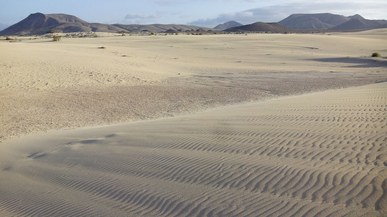
South of Corralejo, the largest dunes in the Canary Islands roll straight down to the sea. The sand is almost white and powder-fine, made of shells and the skeletons of sea creatures that the wind has broken down and heaped up. A road runs through the dunes, so you can pull over and be among them in a minute. Come early or late in the day: at midday there is no shade, and a strong wind lifts the sand into the air. Keep the car on the road and in the car parks, since the sand itself is protected.
Corralejo Natural Park
The dunes are easy to climb, and from their crests you can watch kitesurfers zipping along the coast. Older fossil dunes lie under the moving sand, and in places a fossil beach shows through along the shore. Out on the dunes there's no drinking water and no toilets, so bring water with you; the Grandes Playas below have bars and toilets.
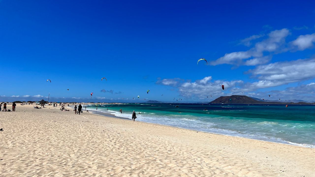
Grandes Playas de Corralejo
Three fine-sand beaches run together here into one long stretch, with Lobos offshore and Lanzarote on the horizon to the north. The sand runs on into the sea, so there are no sharp rocks on the way in. Lifeguards patrol on quads; swim near their posts. There is no natural shade, but loungers and parasols are for hire.
Getting there: a bus or taxi from Corralejo. The Hotels Tres Islas stop is about 870 m away in a straight line, and the last stretch is on foot over the dunes.
Cross to Lobos
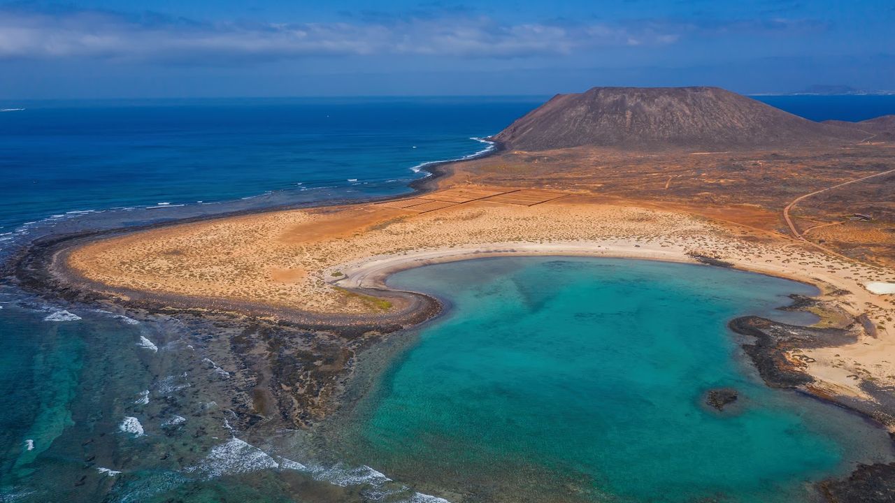
Lobos Island
Lobos lies 2 km off Corralejo and is clearly visible from the seafront. From the top of its 127 m caldera you can see the whole island spread out below, with the Punta Martiño lighthouse at the northern tip and the Corralejo dunes across the strait. On the western shore, Playa de la Concha curls round a calm lagoon with plenty of fish for snorkelling.
Getting there: only by boat, from Corralejo harbour. The crossing is short; leave the car in Corralejo.
Since 2019 every visitor has needed an online permit from the island government, the Cabildo, now issued through Lobos Pass. Numbers are capped, so get yours in advance. Walking the whole island, caldera and lighthouse included, takes three and a half to four hours on signposted trails, and you have to stay on them. There is no shade or drinking water, the one restaurant fills up, and camping has been banned since 2007. Bring food and water for the day, and check the time of the last boat before you set off.
Climb Calderón Hondo
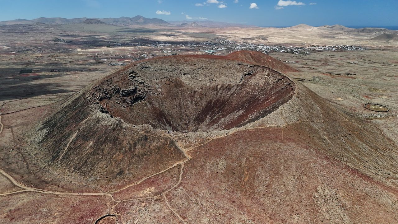
Calderon Hondo
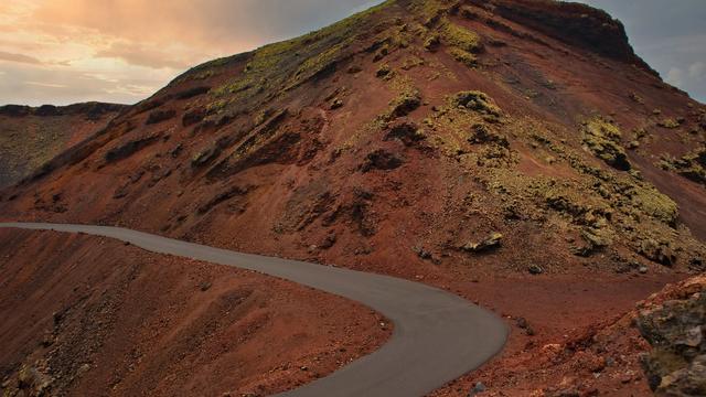
A marked cobbled path climbs to a small platform on the rim, and the crater drops away below in rust-red and dark rock. You can look in but not climb down. Lanzarote is in view across the strait, and Lobos just off the coast. Near the top, Barbary ground squirrels dart between the stones; they are an introduced species, so don't feed them. Children manage the climb easily, but the slopes have no shade, so go early or late.
Getting there: walk from Lajares, or drive the very bumpy road to a car park; it's easiest in an SUV. In a straight line, the Lajares bus stops are about 2.6 km from the crater and the car park about 600 m.
Swim in the lagoons at El Cotillo
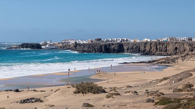
The west coast around El Cotillo gets heavy surf, but just north of the village, low volcanic rocks shelter coves where the water stays flat even when the wind is whipping up the open sea. The water there is clear enough for a mask and snorkel. For a sunset with Lanzarote on the horizon, drive ten minutes on to the El Tostón lighthouse, where the old keeper's house holds a museum of the island's traditional fishing.
Lagoon beaches at El Cotillo
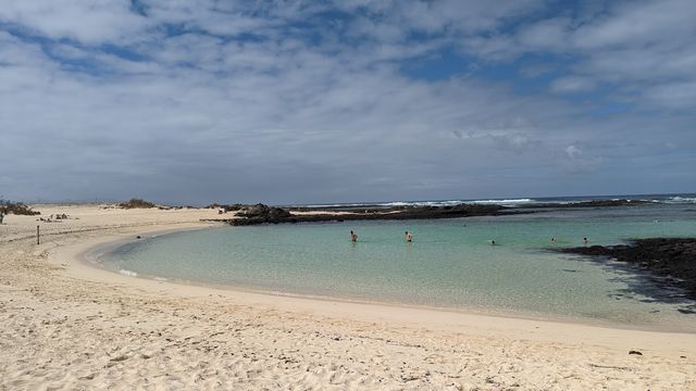
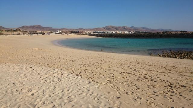
Getting there: the El Cotillo bus stop is about 420 m from Los Lagos in a straight line. La Concha has a free car park about 170 m away.
Walk around the sacred mountain of Tindaya
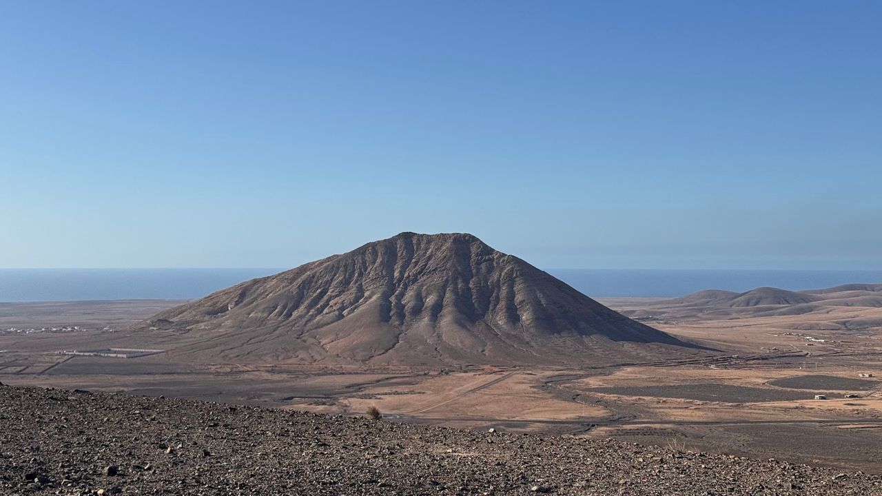
Tindaya Mountain
Tindaya stands on its own above the plain, bare rock that shifts from ochre to rust as the sun moves. The island's pre-Hispanic inhabitants held it sacred, and the climb is closed to protect the foot-shaped carvings near the summit. Instead, you walk the track around Tindaya's base: about 6 km and two hours on the flat. There's no shade, so go early in the morning or late in the afternoon. From the Vallebrón viewpoint the whole mountain is in view, and at sunset it stands in silhouette.
Getting there: the loop starts in Tindaya village, where you can park. The Iglesia bus stop is about 1.1 km from the mountain in a straight line.
Things to do in Fuerteventura
Paid links: booking through them supports YowJourney.
Drive through the Betancuria hills to the Ajuy caves
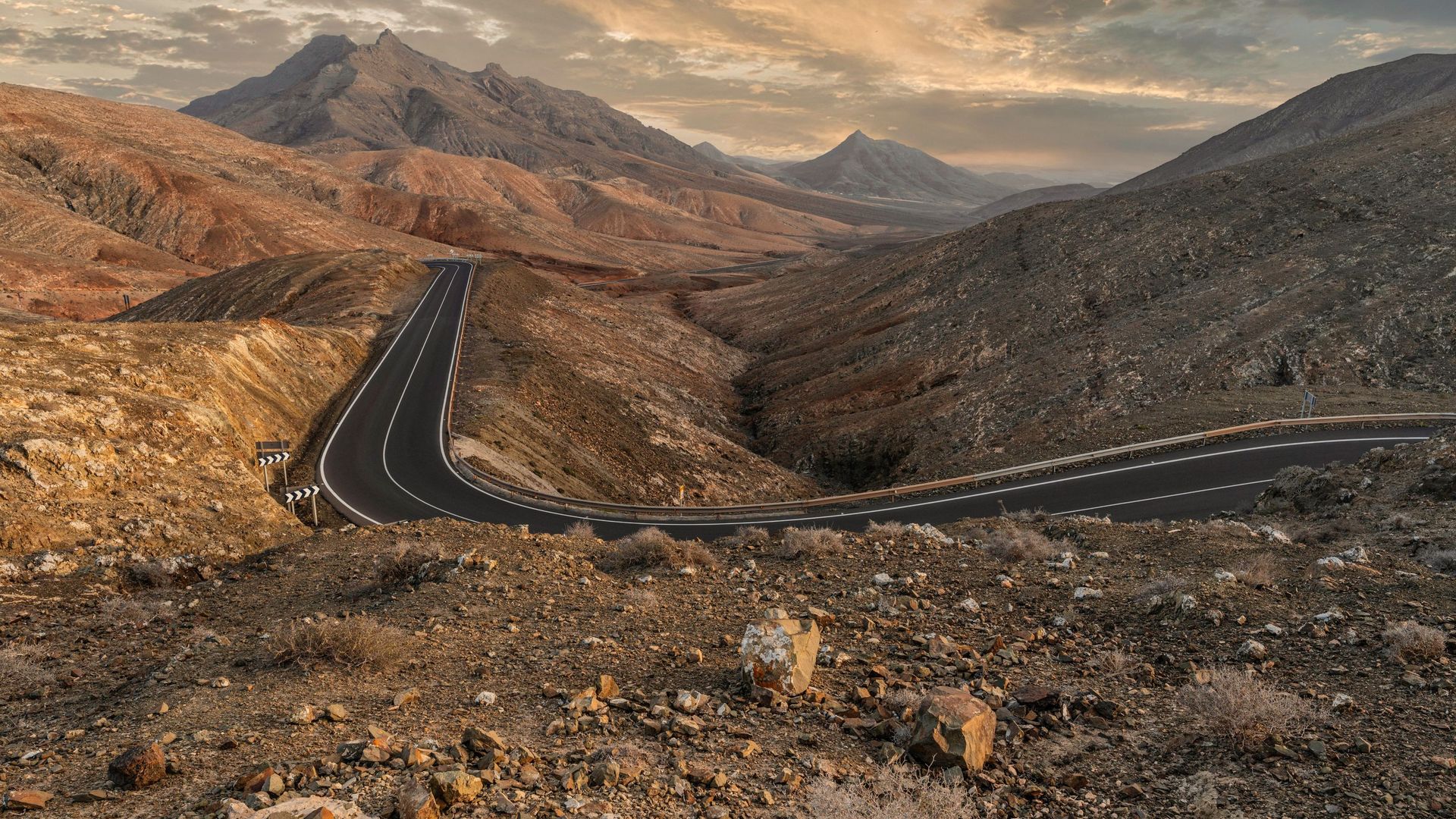
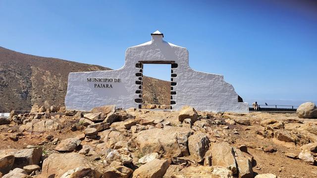
Jean de Béthencourt founded Betancuria in 1404, and it stayed the island's capital until 1834, even after pirates razed it in 1593. The church of Santa María and the roofless ruins of the Franciscan convent stand in the village, and entry to the archaeological museum is free. The road there winds through bare hills of rust and cream, and you have to keep to the tarmac.
Viewpoints over the interior
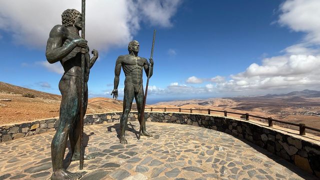
Ajuy Caves
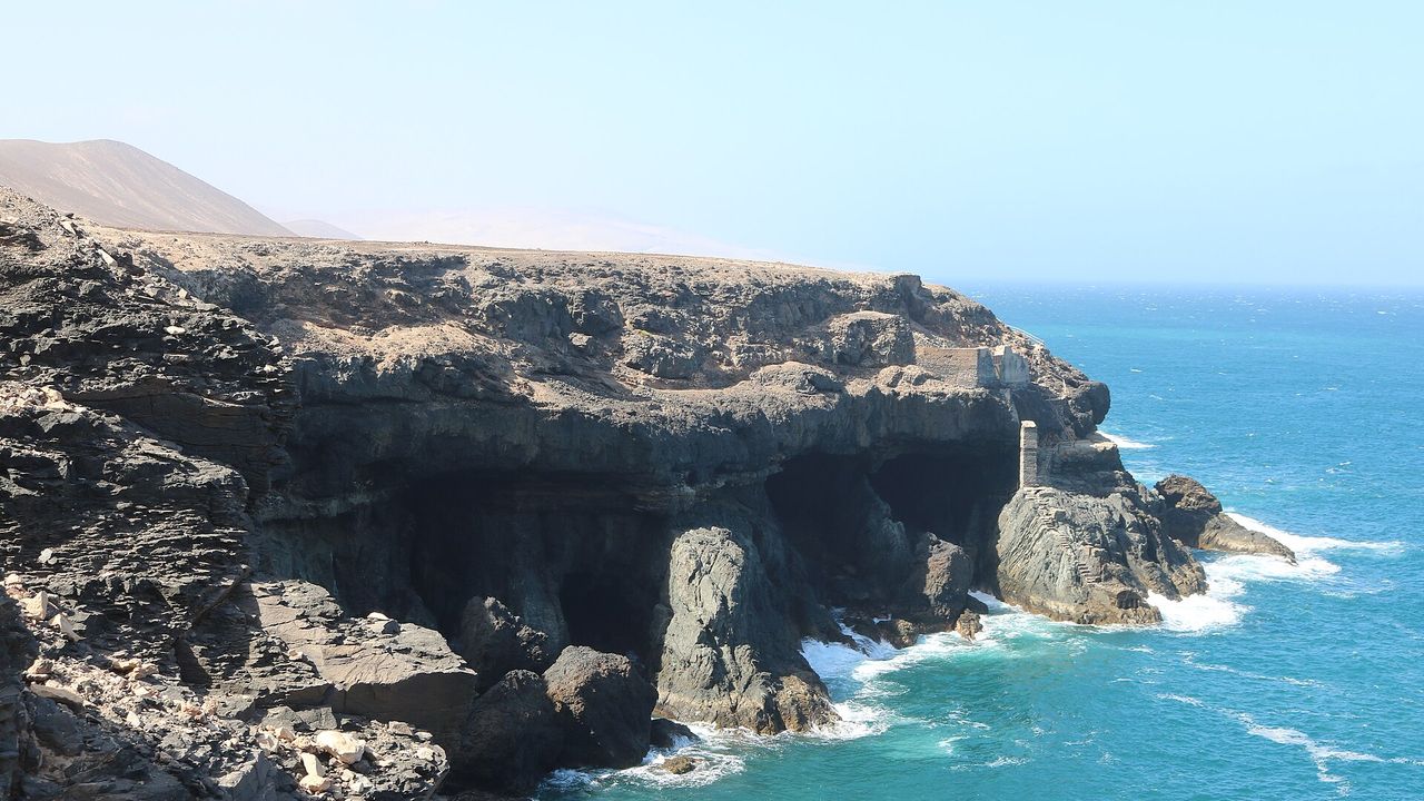
From the black-sand beach at Ajuy, a path follows the cliff where the sea has broken the pale limestone into ledges and hollows, and leads to a cave so deep that the back of it is in darkness. The floor turns wet and slippery towards the back, so wear sturdy shoes with a good grip and bring a torch. Swimming is banned at the beach itself: the currents are dangerous.
Getting there: Betancuria has a bus stop, but for Ajuy you'll need a car. The nearest stop is about 4.6 km away in a straight line, and an unpaved car park lies about 330 m from the caves.
Taste Majorero cheese and gofio
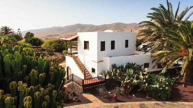
On an island with almost no rain, life depended on water and grain. Majorero is Fuerteventura's goat's cheese, made under a protected designation of origin. Gofio, a toasted grain flour, fed the island for generations, and it is why windmills once dotted the plains. The cheese museum runs tastings, charged separately and best booked in advance. At Tiscamanita, ask about a combined ticket that also covers the cheese museum and the El Carmen Salt Pans. Tefía, where La Alcogida stands, has a windmill with six sails as well.
Cheese, gofio and farm life
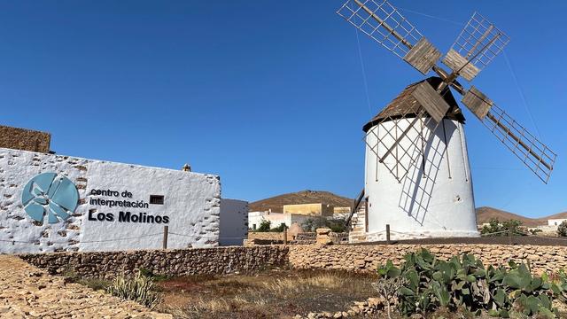
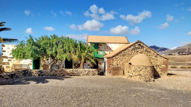
Getting there: buses stop about 88 m from the cheese museum and about 100 m from the Tiscamanita centre. For La Alcogida, the Tefía stop is about 950 m away in a straight line, and the car park is right by the entrance.
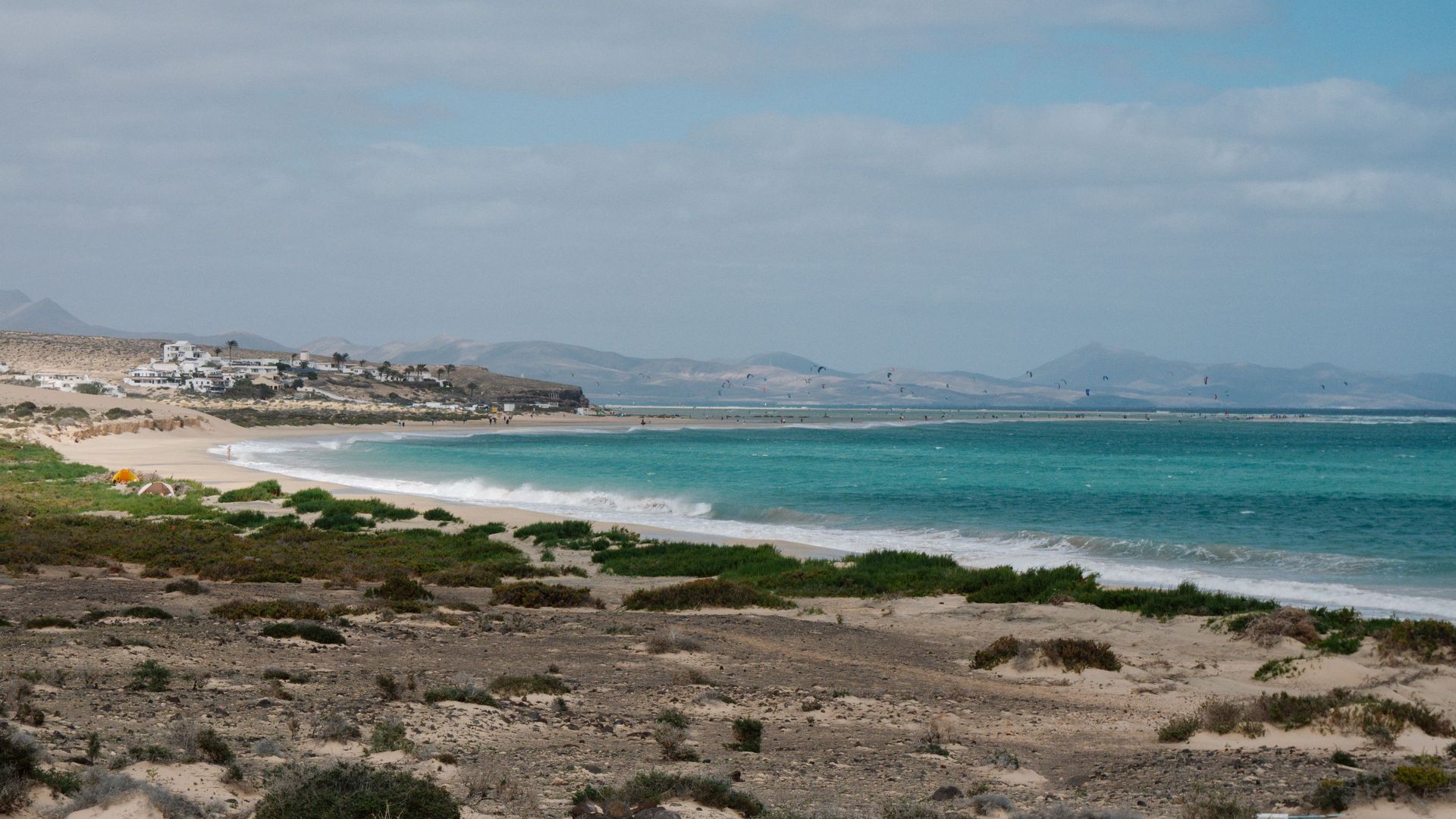
Drive over the mountains to Cofete
From Morro Jable a gravel road climbs to a pass over the Jandía ridge, where the Cofete viewpoint looks down on the beach; the light is best around noon. A standard car manages the road at a careful pace, but many hire contracts don't cover unpaved roads, so check yours. If you don't have a car, take Tiadhe bus 111, which runs from Morro Jable to Cofete twice a day. On the way south, stop at Sotavento, between Costa Calma and Morro Jable: the water there is calmer than at Cofete, and on a windy day kites fill the lagoon. About 20 km down a gravel road from Morro Jable, the Punta Jandía lighthouse marks the island's south-western tip. Fuerteventura's highest peak, Pico de la Zarza (807 m), rises on the Jandía peninsula too.
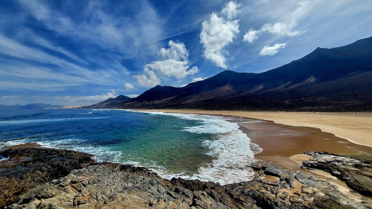
Cofete Beach
On the far side of the Jandía ridge, pale sand runs for kilometres under a wall of mountains, with no town on the shore. On a calm day the water is clear and you can swim, but stay within your depth, as the currents are strong. On a rough day the wind and surf take over, so keep out of the water. There are no toilets, drinking water or shade.
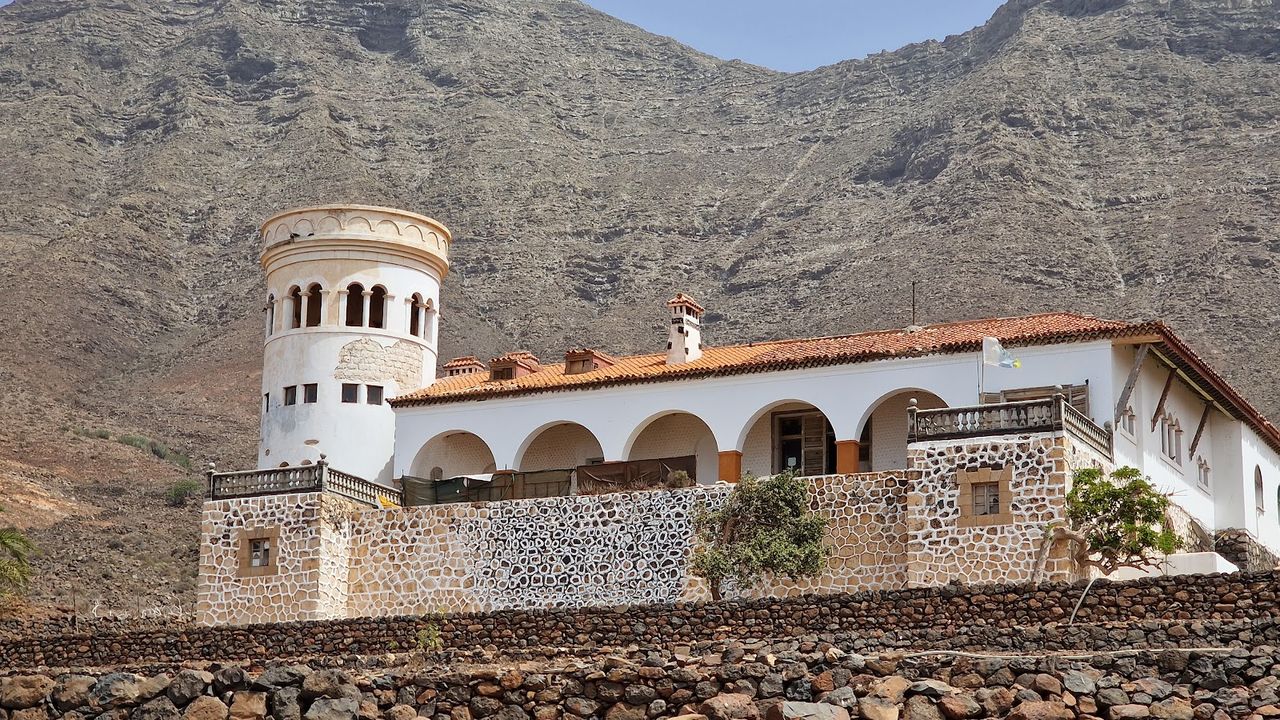
Villa Winter
On the slope above Cofete village stands a lone house with a tower, and from the tower the view runs from the Jandía mountains to the Atlantic. The caretaker lives in the villa and shows visitors round, basement included, telling stories of signals to German U-boats. Treat them as legends: the house's plans were filed with the town hall in 1949. The house is closed on Mondays.
Getting there: from Morro Jable, almost 20 km of winding gravel road, then a dirt track to the house. The car parks in Cofete are about 1.4–1.5 km away in a straight line.
Before you go
A hire car is the practical way to see Fuerteventura and the only easy way into its remote corners; the hire desks are at the airport. The FV-1 runs from Corralejo to Puerto del Rosario and the FV-2 on to Morro Jable. Buses link Puerto del Rosario and the airport with Corralejo, Caleta de Fuste, Morro Jable and El Cotillo, but you'll need a car or a tour for most of the empty beaches. Carry water, since many of the places above have no toilets or drinking water. When the calima blows (a dust-laden wind off the Sahara), visibility can fall to 100–200 m, so drive with care.
Places and practical details come from our catalogue. The Lobos permit and the Cofete bus were checked on the Cabildo de Fuerteventura and Tiadhe websites in October 2026.
In the north, the dunes, Lobos and the El Cotillo lagoons are all within reach of Corralejo; in the south, Morro Jable sits by the long Jandía beaches and at the start of the road over the ridge to Cofete. The hills around Betancuria and the caves at Ajuy fit into a day from either end.
FAQ
How many days do you need in Fuerteventura?
Seven to ten days is about right for a beach holiday with a few day trips by car. With four or five, pick one end of the island, either Corralejo with the dunes and Lobos or the long beaches of Jandía, and give one day to the interior and Betancuria.Do you need a car in Fuerteventura?
Not for everything. Buses link the towns and resorts, so the Corralejo dunes, Lobos, El Cotillo, Betancuria, the cheese museum, Tiscamanita and even Cofete work without one, though some stops are a long walk from the sights. Ajuy, the viewpoints of the interior and most of the empty beaches need a car or a tour.Is Fuerteventura always windy?
Not always, but it is for most of the year. Summer trade winds and winter Atlantic swells make it a surfing and windsurfing island all year round, and the International Windsurfing and Kiteboarding Championship has run at Sotavento since 1985. On windy days, expect sand blowing across the beach.When is the best time to go?
The main season runs from November to March, with winter highs around 22 °C; July and August are the other busy months. We compare the islands season by season in [the best time to visit the Canary Islands](/articles/best-time-to-visit-canary-islands).