El Tanque stands on the hillside of north-western Tenerife, 480 to 604 m above the Atlantic. It lies 6 km west of Icod de los Vinos and 53 km west of the island capital, Santa Cruz de Tenerife. The municipality covers 23.65 km² and is home to about 2,800 people. It is a farming town on the green northern slopes, a long way from the resort coast in the south of the island.
El Tanque

- Currency
- Euro (EUR)
- Language
- Spanish; English only in tourist areas
- Power plug
- Type C/F, 230 V
- Visa
- Schengen
- Time zone
- UTC+0 / UTC+1 (WET/WEST)
- Tap water
- Safe; mineral taste in the south
- Tipping
- Not expected; 5–10% for great service
- Emergency
- 112
Things to do
All tours in El Tanque on GetYourGuide
Paid links: booking through them supports YowJourney.
When to go
High season
Nov – Apr
Winter brings the rain to Tenerife's north side, so the slopes around El Tanque are at their greenest, and at this height the evenings turn cool enough for a jacket.
Shoulder
May – Oct
Summer is dry, and the trade winds push cloud against the northern slopes, so the town often sits under grey skies while the south of the island is in full sun.
How long to stay
An hour or two covers the town itself, taken as a stop on a drive through the north-west of Tenerife. Icod de los Vinos is 6 km to the east, so the two fit comfortably into the same day. A night or more makes sense only if you want a quiet hillside base for the north-west, with Santa Cruz de Tenerife 53 km away.
What to see
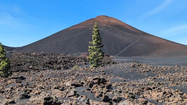
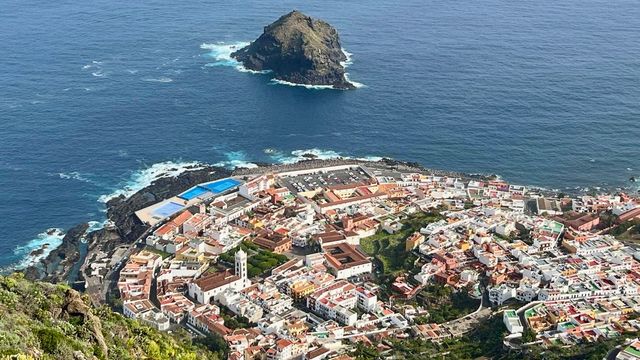
Destinations in El Tanque
Frequently asked questions
Where is El Tanque?
In the north-west of Tenerife, 6 km west of Icod de los Vinos and 53 km west of Santa Cruz de Tenerife, the island capital.How high up is El Tanque?
The town sits at 480 to 604 m above sea level, on the hillside above the north coast.How big is El Tanque?
The municipality covers 23.65 km² and has about 2,800 residents.