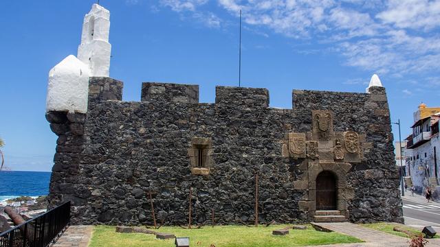
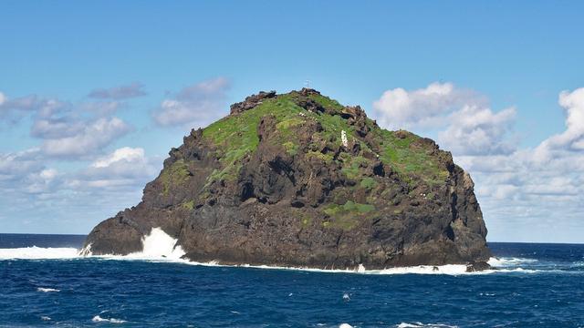
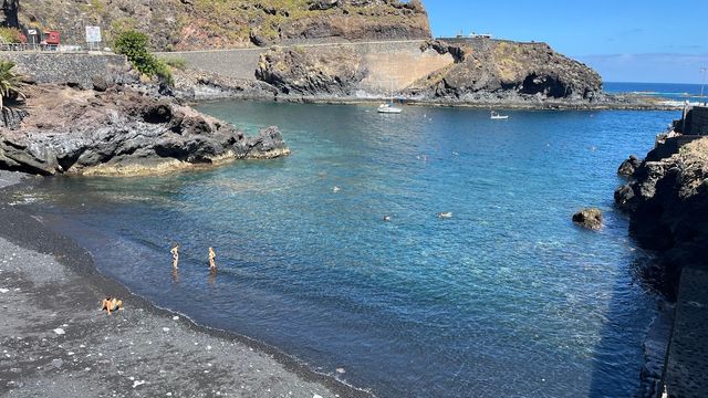
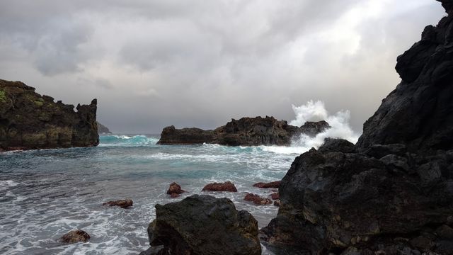
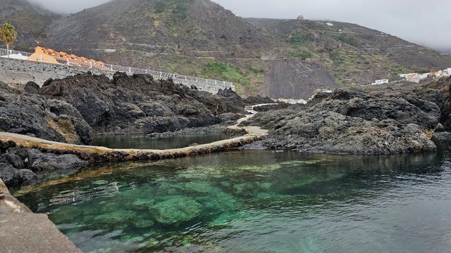
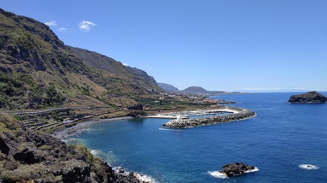
Black lava runs down to the sea all along Garachico's shore, left by the 1706 eruption of Trevejo, which went on for several weeks and filled the old bay. Until then the town was the busiest harbour on Tenerife's north coast, shipping Malmsey wine and sugar. Part of the old town survived; the rest was rebuilt on the new rock, under a cliff more than 500 m high. The name comes from the rocky islet just offshore, now the town's emblem.
Garachico

- Currency
- Euro (EUR)
- Language
- Spanish; English only in tourist areas
- Power plug
- Type C/F, 230 V
- Visa
- Schengen
- Time zone
- UTC+0 / UTC+1 (WET/WEST)
- Tap water
- Safe; mineral taste in the south
- Tipping
- Not expected; 5–10% for great service
- Emergency
- 112
Things to do
All tours in Garachico on GetYourGuide
Paid links: booking through them supports YowJourney.
When to go
High season
Nov – Mar
Winter is the island's main season; the north-facing shore takes the heaviest Atlantic swell, and waves break hard over the lava, so keep back from the water's edge.
Shoulder
Apr – Jun
Longer days and a calmer sea; the weekday tour buses still arrive for lunch, and the evenings stay quiet.
High season
Jul – Aug
Spanish summer holidays bring island families to the coast, and weekends in town are at their busiest.
Shoulder
Sep – Oct
The holiday crowds thin out while the sea still holds the warmth of the summer.
How long to stay
The town sits on a flat stretch of coast and is walked end to end, so a day covers the lava shore, the surviving old streets and a long lunch. Tour buses bring most visitors for the middle of the day on weekdays. Stay the night and you get the quiet evening after they leave; at weekends the town is livelier, mostly with locals.
Getting around
Inside Garachico you walk: the town is on level ground by the sea.
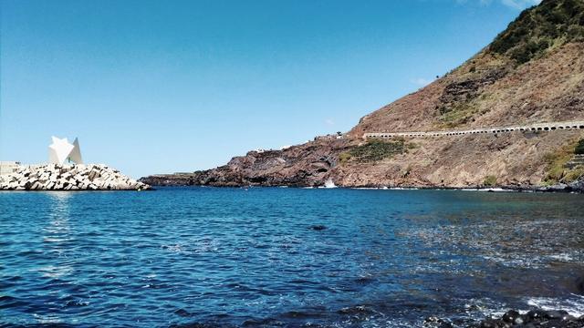
Drivers come in on the TF-42, the coast road from Icod de los Vinos. Parking is free. One car park runs along the coast road opposite a retaining wall, a second sits at the western end of town by the former harbour, and when both are full there is another further along the road heading west.
Titsa bus 363 runs every 30 to 60 minutes to Icod de los Vinos (11 minutes) and Puerto de la Cruz (55 minutes).
Coming from Masca or Santiago del Teide, the TF-82 crosses the Teno mountains, and from El Tanque the TF-421 drops to the coast on a run of hairpin bends. Take it slowly.
What to see



Destinations in Garachico
Frequently asked questions
Was Garachico destroyed by the volcano?
Partly. The Trevejo eruption of 5 May 1706 lasted several weeks, poured lava into the old bay and ended the port's trade. Part of the town was destroyed and rebuilt on top of the new rock; other parts of the original town survived. The story that everything burned except the church is a myth.Where do you park in Garachico?
The car parks are free: one along the coast road opposite a retaining wall, one at the western end of town by the former harbour, and another further along the road west when those are full.Can you reach Garachico by bus?
Yes. Titsa bus 363 links the town with Icod de los Vinos in 11 minutes and with Puerto de la Cruz in 55 minutes, leaving every 30 to 60 minutes.How far is Garachico from the airports?
About 50 km from Tenerife North Airport and 67 km from Tenerife South Airport. Santa Cruz de Tenerife is about 52 km to the east.What does the name Garachico mean?
It joins the Guanche gara, 'island', with the Spanish chico, 'small', after the uninhabited rocky islet off the coast.