Thorsmork is a mountain ridge and valley in South Iceland, set between the glaciers Tindfjallajökull and Eyjafjallajökull, with Mýrdalsjökull closing the far end. The name belongs to the ground between the rivers Krossá, Þröngá and Markarfljót, though it is often used for a wider area. Enclosed by ice, the valley is warmer than the rest of south Iceland and carries moss, ferns and birch woodland. It is one of the most popular hiking areas in the country, with routes running from short summit treks to the Laugavegur trail north to Landmannalaugar.
Thorsmork Valley
Local name: Þórsmörk
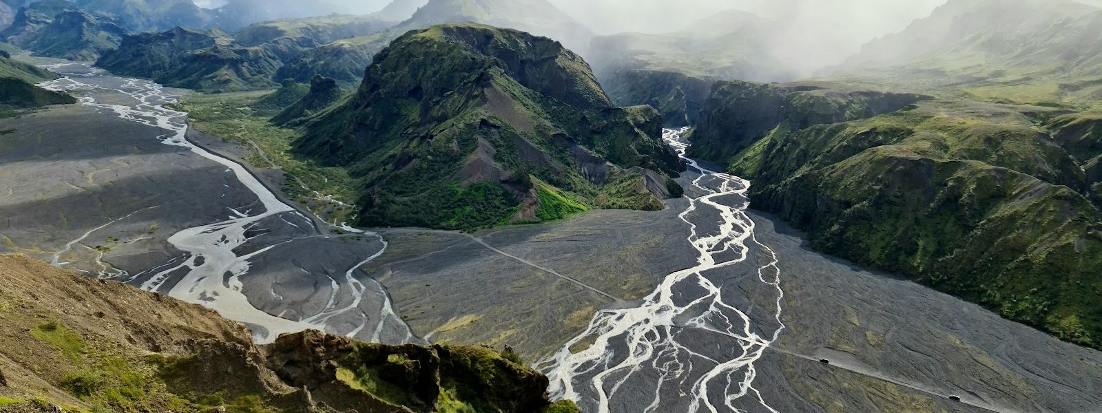
Hemmed in by three glaciers, Thorsmork is warmer than the rest of south Iceland: moss, ferns and birch woodland grow on the valley floor.
- Entrance
- Free — no fee for the reserve
- Parking
- Free at the valley huts and campsites
- Difficulty
- Well-maintained trails. The combined White and Orange loop from the Volcano Huts in Husadalur is about 13 km and opens with a long climb.
- Transport
- Coaches arrive daily from Reykjavík and other towns in Iceland.
- Advance booking
- Recommended for the Highland bus and super-jeep tours
- Address
- Þórsmörk, 861
What makes it special
The walking is what people come for. Routes run out from the valley floor in several directions: the Laugavegur trek north to Landmannalaugar, hikes onto the glaciers, five short day treks up the surrounding peaks, and the canyon Stakkholtsgjá with its waterfall.
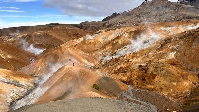
From the tops the view takes in all three glaciers and the river basins below, with the Krossá winding between the mountains. Valahnukur is the viewpoint to aim for. The paths are well maintained, and the view holds up in bad weather.
Good to know
- The Krossá blocks vehicles. The river is cold, fast and glacier-fed, and it is why the valley is hard to reach. A bridge carries walkers across.
- Come dressed for rain and wind. The trails are well maintained in it, and the summit views hold up when the weather does not.
- Not all of it is a trek. Besides the Laugavegur route to Landmannalaugar there are five short day treks and the canyon Stakkholtsgjá with its waterfall.
Getting there
The obstacle is the Krossá. It is a cold, fast river running straight off the glaciers, and it is what makes Thorsmork difficult to reach by vehicle. Walkers do not have to ford it: a bridge carries foot traffic across. Inside the valley the walking starts from the huts — the White and Orange trails both begin and end at the Volcano Huts in Husadalur.
Sun & daylight
Nearby Places

Similar Places

Thorsmork Valley on the map
The Krossá is a cold, fast river fed straight by the glaciers. Cross it on the pedestrian bridge and do not wade in on foot.
Get directions

Your whole travel map in one place
Get inspired by new places around the world and find the ones worth the journey
Frequently asked questions
Why is Thorsmork difficult to reach?
The Krossá. The river is cold, fast and glacier-fed, and it makes vehicle access to the valley hard. Walkers cross on a bridge, and coaches run in daily from Reykjavík and other towns in Iceland.What is there to hike?
Everything from the Laugavegur trek north to Landmannalaugar down to five short day treks up the surrounding peaks. There are also hikes onto the glaciers and the canyon Stakkholtsgjá with its waterfall. The White and Orange trails loop from the Volcano Huts in Husadalur.Is the weather really better than elsewhere in the south?
The valley is closed in between glaciers, and the shelter gives it a warmer climate than the rest of south Iceland. That shows in the ground cover: moss, ferns, birch woodland and low shrubs.Did the 2010 eruption damage the valley?
During the spring 2010 eruptions of Eyjafjallajökull much of the area was covered in a thick layer of volcanic ash. Nature needed several months to return to normal.Where does the name come from?
From the Norse god Thor. Strictly the name covers only the mountain ridge between the rivers Krossá, Þröngá and Markarfljót, but it is often used for the wider area between there and Eyjafjallajökull.